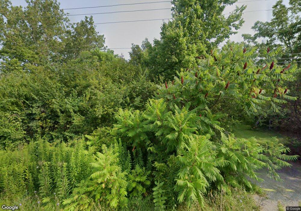
6080 Roberts Rd Hilliard, OH 43026
Westbrooke NeighborhoodEstimated Value: $353,971 - $452,000
4
Beds
3
Baths
2,322
Sq Ft
$171/Sq Ft
Est. Value
About This Home
This home is located at 6080 Roberts Rd, Hilliard, OH 43026 and is currently estimated at $397,243, approximately $171 per square foot. 6080 Roberts Rd is a home located in Franklin County with nearby schools including Valleyview Elementary School, Westmoor Middle School, and West High School.
Ownership History
Date
Name
Owned For
Owner Type
Purchase Details
Closed on
May 13, 2005
Sold by
Saleh Hussein M
Bought by
Saleh Annette Y
Current Estimated Value
Purchase Details
Closed on
Sep 19, 2001
Sold by
Saleh Annette Y and Saleh Hussein M
Bought by
Saleh Hussein M and Saleh Annette Y
Purchase Details
Closed on
Oct 2, 2000
Sold by
Saleh Hussein M
Bought by
Saleh Annette Y and Saleh Hussein M
Purchase Details
Closed on
Sep 30, 1999
Sold by
Hering Peter J and Whittington Janet L
Bought by
Salem Hussein M
Home Financials for this Owner
Home Financials are based on the most recent Mortgage that was taken out on this home.
Original Mortgage
$114,300
Interest Rate
7.83%
Purchase Details
Closed on
Aug 2, 1993
Bought by
Hering Peter J
Create a Home Valuation Report for This Property
The Home Valuation Report is an in-depth analysis detailing your home's value as well as a comparison with similar homes in the area
Home Values in the Area
Average Home Value in this Area
Purchase History
| Date | Buyer | Sale Price | Title Company |
|---|---|---|---|
| Saleh Annette Y | -- | -- | |
| Saleh Hussein M | -- | Chicago Title | |
| Saleh Annette Y | -- | -- | |
| Salem Hussein M | $142,900 | Chicago Title | |
| Hering Peter J | $122,500 | -- |
Source: Public Records
Mortgage History
| Date | Status | Borrower | Loan Amount |
|---|---|---|---|
| Previous Owner | Salem Hussein M | $114,300 |
Source: Public Records
Tax History Compared to Growth
Tax History
| Year | Tax Paid | Tax Assessment Tax Assessment Total Assessment is a certain percentage of the fair market value that is determined by local assessors to be the total taxable value of land and additions on the property. | Land | Improvement |
|---|---|---|---|---|
| 2024 | $3,744 | $70,000 | $28,350 | $41,650 |
| 2023 | $3,101 | $70,000 | $28,350 | $41,650 |
| 2022 | $2,395 | $46,170 | $23,630 | $22,540 |
| 2021 | $2,399 | $46,170 | $23,630 | $22,540 |
| 2020 | $2,402 | $46,170 | $23,630 | $22,540 |
| 2019 | $2,240 | $36,930 | $18,900 | $18,030 |
| 2018 | $2,988 | $36,930 | $18,900 | $18,030 |
| 2017 | $4,942 | $77,390 | $18,900 | $58,490 |
| 2016 | $3,803 | $57,410 | $15,440 | $41,970 |
| 2015 | $3,452 | $57,410 | $15,440 | $41,970 |
| 2014 | $3,461 | $57,410 | $15,440 | $41,970 |
| 2013 | $1,707 | $57,400 | $15,435 | $41,965 |
Source: Public Records
Map
Nearby Homes
- 2650 Brittany Oaks Blvd
- 2654 Brittany Oaks Blvd
- 2603 Westrock Dr
- 2643 Westrock Dr
- 2657 Amberwick Place
- 2735 Quailview Ln
- 6056 Glade Run Rd
- 2618 Copperwood Rd
- 5606 Oldwynne Rd
- 5686 Moonpenny Ln
- 5488 Whispering Oak Blvd
- 2886 Wynneleaf St
- 2139 Melone Dr Unit Lot 370
- 2880 Wynneleaf St
- 6067 Nova Park Ln
- 5459 Red Wynne Ln
- 2195 Jeffey Dr
- 5763 Nike Dr
- 2657 Village Pier Ln Unit 2657
- 2161 Jeffey Dr
- 2979 Brookford Dr Unit L 23
- 2979 Brookford Dr
- 2971 Brookford Dr
- 2963 Brookford Dr
- 2980 Brookford Dr
- 2955 Brookford Dr
- 2972 Brookford Dr
- 2947 Brookford Dr
- 2964 Brookford Dr
- 5967 Roberts Rd
- 2629 Brittany Oaks Blvd
- 2635 Brittany Oaks Blvd
- 2635 Brittany Oaks Blvd Unit 2635
- 5999 Brookmont Dr
- 5972 Brookmont Dr
- 2631 Brittany Oaks Blvd
- 2633 Brittany Oaks Blvd
- 2649 Brittany Oaks Blvd
- 5993 Brookmont Dr
- 5959 Roberts Rd
