6081 W Highway 52 Emmett, ID 83617
Gem County NeighborhoodEstimated Value: $716,000 - $1,009,000
3
Beds
2
Baths
2,362
Sq Ft
$371/Sq Ft
Est. Value
About This Home
This home is located at 6081 W Highway 52, Emmett, ID 83617 and is currently estimated at $876,918, approximately $371 per square foot. 6081 W Highway 52 is a home located in Gem County with nearby schools including Shadow Butte Elementary School.
Ownership History
Date
Name
Owned For
Owner Type
Purchase Details
Closed on
Jun 27, 2025
Sold by
Gyer Jason David
Bought by
Gyer Jason David and Latimer Taylor A
Current Estimated Value
Purchase Details
Closed on
Jan 13, 2023
Sold by
Porter Bonnie B and Porter Carl L
Bought by
Bonnie B And Carl L Porter Living Trust
Purchase Details
Closed on
Mar 7, 2017
Sold by
Botkin Edward P and Botkin Barbara G
Bought by
Porter Tyler S and Porter Candice
Home Financials for this Owner
Home Financials are based on the most recent Mortgage that was taken out on this home.
Original Mortgage
$61,500
Interest Rate
4.15%
Mortgage Type
Purchase Money Mortgage
Create a Home Valuation Report for This Property
The Home Valuation Report is an in-depth analysis detailing your home's value as well as a comparison with similar homes in the area
Home Values in the Area
Average Home Value in this Area
Purchase History
| Date | Buyer | Sale Price | Title Company |
|---|---|---|---|
| Gyer Jason David | -- | None Listed On Document | |
| Bonnie B And Carl L Porter Living Trust | -- | -- | |
| Porter Tyler S | -- | Alliance Title |
Source: Public Records
Mortgage History
| Date | Status | Borrower | Loan Amount |
|---|---|---|---|
| Previous Owner | Porter Tyler S | $61,500 |
Source: Public Records
Tax History Compared to Growth
Tax History
| Year | Tax Paid | Tax Assessment Tax Assessment Total Assessment is a certain percentage of the fair market value that is determined by local assessors to be the total taxable value of land and additions on the property. | Land | Improvement |
|---|---|---|---|---|
| 2024 | $1,497 | $651,671 | -- | -- |
| 2023 | $1,271 | $656,547 | $149,736 | $506,811 |
| 2021 | $1,955 | $541,108 | $104,272 | $436,836 |
| 2020 | $1,887 | $399,837 | $72,341 | $327,496 |
| 2019 | $1,370 | $299,526 | $57,371 | $242,155 |
| 2018 | $1,240 | $256,339 | $45,420 | $210,919 |
| 2017 | $1,239 | $226,740 | $44,120 | $182,620 |
| 2016 | $1,196 | $203,560 | $41,120 | $162,440 |
| 2015 | $1,205 | $200,730 | $37,520 | $163,210 |
| 2014 | $24,100 | $182,350 | $35,230 | $147,120 |
Source: Public Records
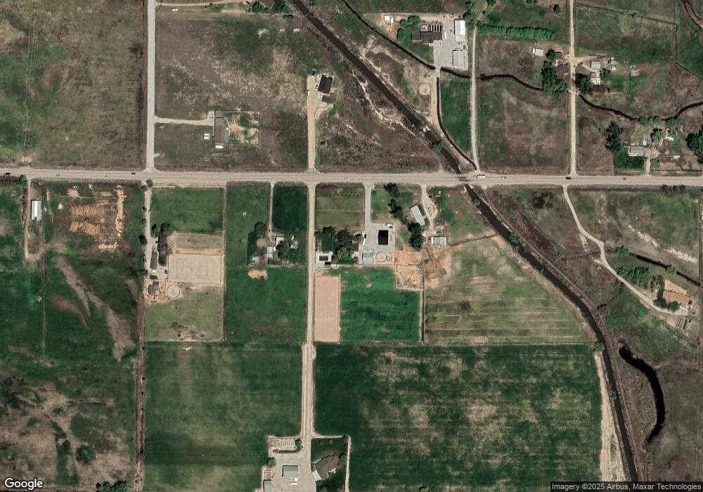
Map
Nearby Homes
- 5740 Idaho 52
- 2777 Bowman Rd
- 1334 Morehouse Rd
- 3512 Bowman Rd
- 6655 Sophie Ln
- LOT 2 Patriot Ln
- 3617 Bowman Rd
- 6699 Sophie Lane Lot 1
- 1415 Morehouse Rd
- 7065 Mustang Ln
- 3251 W Highway 52
- 3190 Idaho 52
- 2405 Star Ln
- 2798 Hanna Ave
- 2670 Berglund Rd
- 2635 Berglund Rd
- 7202 W Highway 52
- 2805 Idaho 52
- 2625 Berglund Rd
- 2333 Berglund Rd
- 6089 W Highway 52
- TBD W Highway 52
- 6103 W Highway 52
- 6085 W Highway 52
- 5740 W Highway 52
- 1247 Morehouse Rd
- 1212 Morehouse Rd
- LOT 3 Dexter Ln
- tbd Moorehouse Rd
- 5711 W Highway 52
- LOT 4 Dexter Ln
- 5730 W Highway 52
- 5445 W Highway 52
- TBD 40 Acre Hwy 52
- 5423 W Highway 52
- TBD N 40 Hwy 52
- 5424 W Highway 52
- LOT 2 Dexter Ln
- LOT 1 Dexter Ln
- 5405 W Highway 52