Estimated Value: $381,000 - $513,000
5
Beds
3
Baths
2,793
Sq Ft
$152/Sq Ft
Est. Value
About This Home
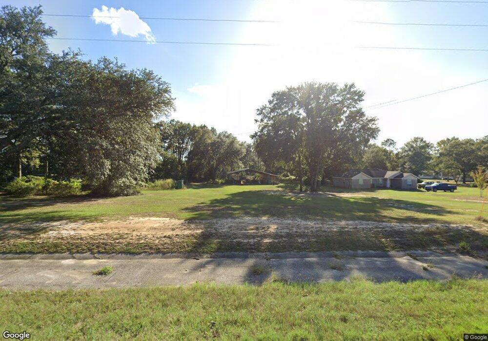
This home is located at 6086 Highway 4 W, Baker, FL 32531 and is currently estimated at $424,067, approximately $151 per square foot. 6086 Highway 4 W is a home located in Okaloosa County with nearby schools including Baker School.
Ownership History
Date
Name
Owned For
Owner Type
Purchase Details
Closed on
Oct 18, 2006
Sold by
Stewart Jennifer L and Stewart David H
Bought by
Stewart David H and Stewart Jennifer L
Current Estimated Value
Home Financials for this Owner
Home Financials are based on the most recent Mortgage that was taken out on this home.
Original Mortgage
$255,000
Interest Rate
6.25%
Mortgage Type
New Conventional
Purchase Details
Closed on
Mar 23, 2006
Sold by
Stewart Jennifer L
Bought by
Stewart Jennifer L
Purchase Details
Closed on
Dec 27, 2005
Sold by
Stewart Jennifer L and Nichols Shannon L
Bought by
Stewart Jennifer L
Create a Home Valuation Report for This Property
The Home Valuation Report is an in-depth analysis detailing your home's value as well as a comparison with similar homes in the area
Purchase History
| Date | Buyer | Sale Price | Title Company |
|---|---|---|---|
| Stewart David H | -- | Surety Land Title Of Fl Llc | |
| Stewart Jennifer L | -- | None Available | |
| Stewart Jennifer L | -- | None Available | |
| Stewart Jennifer L | -- | None Available |
Source: Public Records
Mortgage History
| Date | Status | Borrower | Loan Amount |
|---|---|---|---|
| Closed | Stewart David H | $255,000 |
Source: Public Records
Tax History
| Year | Tax Paid | Tax Assessment Tax Assessment Total Assessment is a certain percentage of the fair market value that is determined by local assessors to be the total taxable value of land and additions on the property. | Land | Improvement |
|---|---|---|---|---|
| 2025 | $1,683 | $200,654 | -- | -- |
| 2024 | $1,582 | $194,999 | -- | -- |
| 2023 | $1,582 | $189,319 | $0 | $0 |
| 2022 | $1,546 | $183,805 | $0 | $0 |
| 2021 | $1,544 | $178,451 | $0 | $0 |
| 2020 | $1,528 | $175,987 | $0 | $0 |
| 2019 | $1,504 | $172,030 | $0 | $0 |
| 2018 | $1,493 | $168,822 | $0 | $0 |
| 2017 | $1,485 | $165,350 | $0 | $0 |
| 2016 | $1,445 | $161,949 | $0 | $0 |
| 2015 | $1,480 | $160,823 | $0 | $0 |
| 2014 | $1,485 | $159,547 | $0 | $0 |
Source: Public Records
Map
Nearby Homes
- 924 Hwy C4a
- 6249 Highway 4 W
- 6251 Highway 4 W
- 6130 Sherman Kennedy Rd
- 5816 Jack Stokes Rd
- TBD Will Henry Ln
- 5811 Monroe St
- 0000 Bob Brooks Rd
- 1330 Jackson St
- 1332 Jackson St
- 0000 N Sherman Kennedy
- 1509 Long Needle Ct
- 6064 Buck Ward Rd
- 5609 Price Plantation Rd
- 5406 Steele Rd
- 5620 Price Plantation Rd
- 1318 John Riley Barnhill Rd
- 5671 Grandsons Way
- 0 Homestead Rd
- 1401 Greenwood Rd
- 6078 Highway 4 W
- 6071 Highway 4 W
- 6070 Highway 4 W
- 6061 Highway 4 W
- 6094 Highway 4 W
- 6074 Highway 4 W
- 890 Highway C 4a
- 920 Highway C 4a
- 6047 Highway 4 W
- 924 Highway C 4a
- 0000 Highway 4 W
- 6043 Highway 4 W
- 932 Highway C 4a
- 893 Highway C 4a
- 944 Highway C 4a
- 931 Highway C 4a
- 947 Highway C 4a
- 6014 Highway 4 W
- 957 Highway C 4a
- 936 Mollie Ln
Your Personal Tour Guide
Ask me questions while you tour the home.