Estimated Value: $129,000 - $160,000
3
Beds
1
Bath
824
Sq Ft
$173/Sq Ft
Est. Value
About This Home
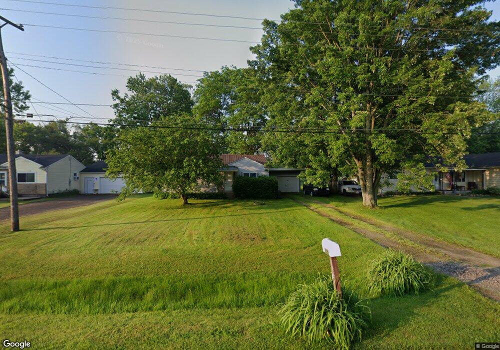
This home is located at 6086 Hopkins Rd, Flint, MI 48506 and is currently estimated at $142,156, approximately $172 per square foot. 6086 Hopkins Rd is a home located in Genesee County with nearby schools including Weston Elementary School, Leota Fiedler Elementary School, and Kate Dowdall Elementary School.
Ownership History
Date
Name
Owned For
Owner Type
Purchase Details
Closed on
Aug 21, 2025
Sold by
Mccrory Phillip G
Bought by
Mccrory Bridgette L
Current Estimated Value
Purchase Details
Closed on
May 13, 2010
Sold by
Mccrory Nancy L
Bought by
Enle Bridgette L and Mccrory Philip G
Home Financials for this Owner
Home Financials are based on the most recent Mortgage that was taken out on this home.
Original Mortgage
$26,641
Interest Rate
4.75%
Mortgage Type
FHA
Create a Home Valuation Report for This Property
The Home Valuation Report is an in-depth analysis detailing your home's value as well as a comparison with similar homes in the area
Home Values in the Area
Average Home Value in this Area
Purchase History
| Date | Buyer | Sale Price | Title Company |
|---|---|---|---|
| Mccrory Bridgette L | -- | None Listed On Document | |
| Enle Bridgette L | $27,000 | Cislo Title Co |
Source: Public Records
Mortgage History
| Date | Status | Borrower | Loan Amount |
|---|---|---|---|
| Previous Owner | Enle Bridgette L | $26,641 |
Source: Public Records
Tax History Compared to Growth
Tax History
| Year | Tax Paid | Tax Assessment Tax Assessment Total Assessment is a certain percentage of the fair market value that is determined by local assessors to be the total taxable value of land and additions on the property. | Land | Improvement |
|---|---|---|---|---|
| 2025 | $1,055 | $49,400 | $0 | $0 |
| 2024 | $251 | $46,000 | $0 | $0 |
| 2023 | $239 | $41,100 | $0 | $0 |
| 2022 | $849 | $37,800 | $0 | $0 |
| 2021 | $842 | $34,600 | $0 | $0 |
| 2020 | $219 | $31,200 | $0 | $0 |
| 2019 | $215 | $27,600 | $0 | $0 |
| 2018 | $943 | $24,900 | $0 | $0 |
| 2017 | $1,008 | $24,500 | $0 | $0 |
| 2016 | $895 | $22,700 | $0 | $0 |
| 2015 | $595 | $20,800 | $0 | $0 |
| 2014 | $199 | $19,500 | $0 | $0 |
| 2012 | -- | $17,000 | $17,000 | $0 |
Source: Public Records
Map
Nearby Homes
- 5429 Hopkins Rd
- 6323 Bluejay Dr
- 6363 Bluejay Dr
- 5335 Rose Ln
- 5141 N Vassar Rd
- 6298 Nightingale Dr
- 7020 E Carpenter Rd
- 6077 Crown Point
- 5521 N Belsay Rd
- 4062 N Belsay Rd
- 4156 Bobwhite Dr
- 5068 Roberts Dr
- 5111 Paro Dr
- 4455 N Genesee Rd
- 3454 Eastdale Dr
- 4465 Market Place
- 4489 Home Town Dr Unit 32
- 4459 Market Place
- 5142 Berneda Dr
- 4453 Market Place
- 6092 Hopkins Rd
- 6078 Hopkins Rd
- 6106 Hopkins Rd
- 6070 Hopkins Rd
- 6098 Hopkins Rd
- 5035 Hartland Dr
- 6069 Hopkins Rd
- 6085 Hopkins Rd
- 6107 Hopkins Rd
- 6077 Hopkins Rd
- 6062 Hopkins Rd
- 6116 Hopkins Rd
- 6122 Hopkins Rd
- 6055 Hopkins Rd
- 6056 Hopkins Rd Unit Bldg-Unit
- 6056 Hopkins Rd
- 6128 Hopkins Rd
- 5040 Hartland Dr Unit Bldg-Unit
- 5040 Hartland Dr
- 6061 Hopkins Rd