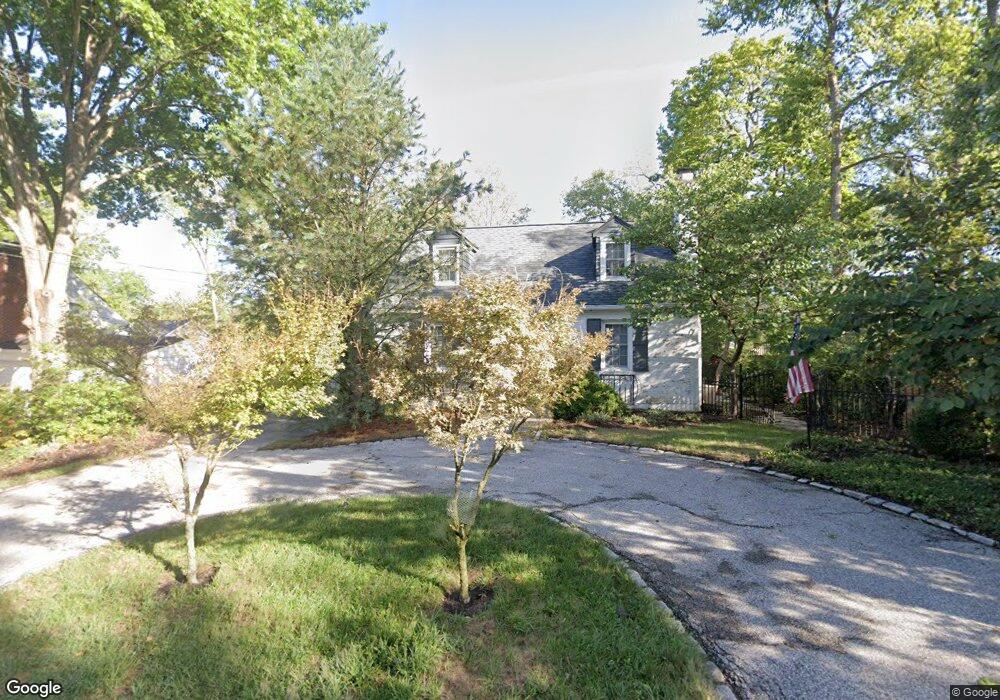
6086 Orchard Dr Cincinnati, OH 45230
Mount Washington NeighborhoodEstimated Value: $216,000 - $262,000
3
Beds
2
Baths
1,231
Sq Ft
$196/Sq Ft
Est. Value
About This Home
This home is located at 6086 Orchard Dr, Cincinnati, OH 45230 and is currently estimated at $241,362, approximately $196 per square foot. 6086 Orchard Dr is a home located in Hamilton County with nearby schools including Sherwood Elementary School, Nagel Middle School, and Anderson High School.
Ownership History
Date
Name
Owned For
Owner Type
Purchase Details
Closed on
Jul 1, 1999
Sold by
Kipp Benjamin W
Bought by
Saunders Diana E
Current Estimated Value
Home Financials for this Owner
Home Financials are based on the most recent Mortgage that was taken out on this home.
Original Mortgage
$48,000
Interest Rate
7.28%
Create a Home Valuation Report for This Property
The Home Valuation Report is an in-depth analysis detailing your home's value as well as a comparison with similar homes in the area
Home Values in the Area
Average Home Value in this Area
Purchase History
| Date | Buyer | Sale Price | Title Company |
|---|---|---|---|
| Saunders Diana E | $100,000 | -- |
Source: Public Records
Mortgage History
| Date | Status | Borrower | Loan Amount |
|---|---|---|---|
| Previous Owner | Saunders Diana E | $48,000 |
Source: Public Records
Tax History Compared to Growth
Tax History
| Year | Tax Paid | Tax Assessment Tax Assessment Total Assessment is a certain percentage of the fair market value that is determined by local assessors to be the total taxable value of land and additions on the property. | Land | Improvement |
|---|---|---|---|---|
| 2024 | $3,225 | $62,994 | $15,509 | $47,485 |
| 2023 | $3,113 | $62,994 | $15,509 | $47,485 |
| 2022 | $2,433 | $46,179 | $14,021 | $32,158 |
| 2021 | $2,365 | $46,179 | $14,021 | $32,158 |
| 2020 | $2,406 | $46,179 | $14,021 | $32,158 |
| 2019 | $2,271 | $40,867 | $12,408 | $28,459 |
| 2018 | $2,128 | $40,867 | $12,408 | $28,459 |
| 2017 | $2,001 | $40,867 | $12,408 | $28,459 |
| 2016 | $2,067 | $41,251 | $12,656 | $28,595 |
| 2015 | $2,014 | $41,251 | $12,656 | $28,595 |
| 2014 | $2,016 | $41,251 | $12,656 | $28,595 |
| 2013 | $1,859 | $40,443 | $12,408 | $28,035 |
Source: Public Records
Map
Nearby Homes
- 6060 Luwista Ln
- 6114 Glade Ave
- 1508 Beth Ln
- 6146 Mariwood Ln
- 1549 Sutton Ave
- 6952 Shadow Ridge Rd
- 1323 Thornbird Dr
- 1634 Brandon Ave
- 3 Salem Rd
- 4 Salem Rd
- 2 Salem Rd
- 1 Salem Rd
- 6073 Salem Rd
- 6065 Salem Rd
- 1190 Linden Hill Ln
- 1178 Linden Hill Ln
- 1405 Dyer Ave
- 1605 Marlou Ln
- 1419 Beacon St
- 5750 Salem Rd
- 6058 Orchard Dr
- 1445 Sutton Ave
- 1451 Sutton Ave
- 1473 Sutton Ave
- 1427 Sutton Ave
- 6067 Orchard Dr
- 6055 Orchard Dr
- 6034 Orchard Dr
- 1475 Sutton Ave
- 1419 Sutton Ave
- 6047 Orchard Dr
- 1411 Sutton Ave
- 6039 Orchard Dr
- 6075 Glade Ave
- 1481 Sutton Ave
- 6020 Orchard Dr
- 1403 Sutton Ave
- 1495 Sutton Ave
- 6021 Orchard Dr
- 1470 Sutton Ave