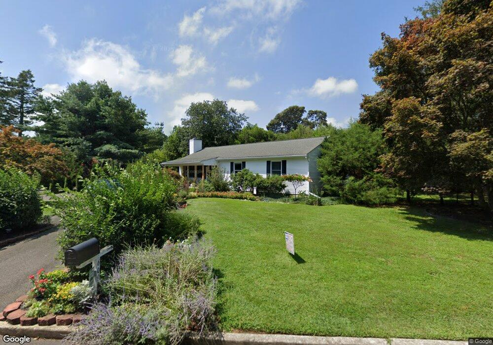
609 Lazy Ln Absecon, NJ 08201
Estimated Value: $318,000 - $358,000
Studio
--
Bath
1,200
Sq Ft
$285/Sq Ft
Est. Value
About This Home
This home is located at 609 Lazy Ln, Absecon, NJ 08201 and is currently estimated at $341,664, approximately $284 per square foot. 609 Lazy Ln is a home located in Atlantic County with nearby schools including H. Ashton Marsh Elementary School, Emma C. Attales Middle School, and Champion Baptist Academy.
Ownership History
Date
Name
Owned For
Owner Type
Purchase Details
Closed on
Jul 12, 2006
Sold by
Cartus Financial Corp
Bought by
Michael Caromano
Current Estimated Value
Home Financials for this Owner
Home Financials are based on the most recent Mortgage that was taken out on this home.
Original Mortgage
$218,800
Outstanding Balance
$126,089
Interest Rate
6.7%
Mortgage Type
Purchase Money Mortgage
Estimated Equity
$215,575
Purchase Details
Closed on
May 13, 2006
Sold by
Ross Frank
Bought by
Cartus Financial Corp
Home Financials for this Owner
Home Financials are based on the most recent Mortgage that was taken out on this home.
Original Mortgage
$218,800
Outstanding Balance
$126,089
Interest Rate
6.7%
Mortgage Type
Purchase Money Mortgage
Estimated Equity
$215,575
Purchase Details
Closed on
Apr 28, 1989
Sold by
Schofield Stephen B
Bought by
Ross Frank J and Ross Schultz,Bonnie L
Create a Home Valuation Report for This Property
The Home Valuation Report is an in-depth analysis detailing your home's value as well as a comparison with similar homes in the area
Home Values in the Area
Average Home Value in this Area
Purchase History
| Date | Buyer | Sale Price | Title Company |
|---|---|---|---|
| Michael Caromano | $273,500 | -- | |
| Cartus Financial Corp | $273,500 | -- | |
| Ross Frank J | -- | -- | |
| Ross Frank | $113,000 | -- |
Source: Public Records
Mortgage History
| Date | Status | Borrower | Loan Amount |
|---|---|---|---|
| Open | Michael Caromano | $218,800 | |
| Previous Owner | Cartus Financial Corp | $218,800 |
Source: Public Records
Tax History
| Year | Tax Paid | Tax Assessment Tax Assessment Total Assessment is a certain percentage of the fair market value that is determined by local assessors to be the total taxable value of land and additions on the property. | Land | Improvement |
|---|---|---|---|---|
| 2025 | $5,313 | $158,800 | $88,000 | $70,800 |
| 2024 | $5,277 | $158,800 | $88,000 | $70,800 |
| 2023 | $5,250 | $158,800 | $88,000 | $70,800 |
| 2022 | $5,250 | $158,800 | $88,000 | $70,800 |
| 2021 | $5,234 | $158,800 | $88,000 | $70,800 |
| 2020 | $5,244 | $158,800 | $88,000 | $70,800 |
| 2019 | $5,205 | $158,800 | $88,000 | $70,800 |
| 2018 | $5,228 | $158,800 | $88,000 | $70,800 |
| 2017 | $5,190 | $158,800 | $88,000 | $70,800 |
| 2016 | $5,043 | $158,800 | $88,000 | $70,800 |
| 2015 | $4,978 | $158,800 | $88,000 | $70,800 |
| 2014 | $4,910 | $158,800 | $88,000 | $70,800 |
Source: Public Records
Map
Nearby Homes
- 4 E Curran Dr
- 10 E Curran Dr
- 655 Weilers Ln
- 613 S New York Rd
- 123 Bayview Dr
- 130 Davis Ave
- 623 E Biscayne Ave
- 172 E Faunce Landing Rd
- 161 E Wyoming Ave
- 105 Hillside Ave
- 0-0 E Dickinson Ave
- 604 E Pennsylvania Ave
- 194 N Shore Rd
- 710 E Chip Shot Ln
- 202 Burning Tree Blvd
- 86 E Woodland Ave Unit D86
- 90 E Woodland Ave Unit E90
- 47 E Woodland Ave Unit C47
- 112 Woodcrest Ave
- 107 W Church St
Your Personal Tour Guide
Ask me questions while you tour the home.