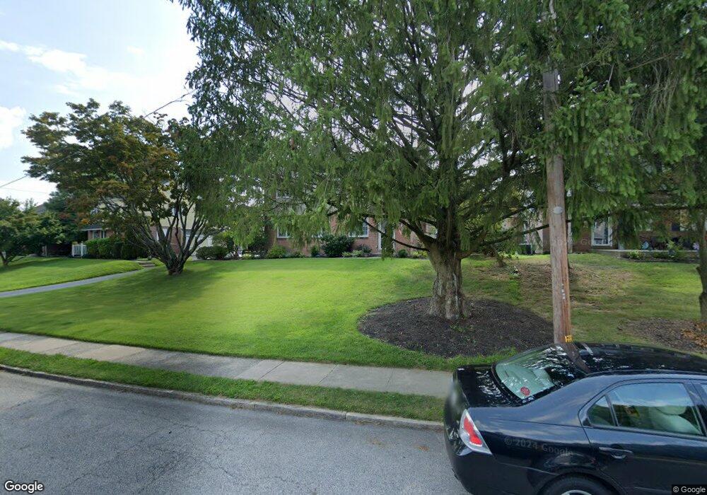
609 Maplewood Rd Springfield, PA 19064
Estimated Value: $420,000 - $558,000
4
Beds
3
Baths
2,020
Sq Ft
$252/Sq Ft
Est. Value
About This Home
This home is located at 609 Maplewood Rd, Springfield, PA 19064 and is currently estimated at $508,098, approximately $251 per square foot. 609 Maplewood Rd is a home located in Delaware County with nearby schools including Springfield High School and St Francis Of Assisi School.
Ownership History
Date
Name
Owned For
Owner Type
Purchase Details
Closed on
Nov 20, 1997
Sold by
Gowman Jeffrey S and Blake Lisa M
Bought by
Gowman Jeffrey S and Gowman Lisa M
Current Estimated Value
Purchase Details
Closed on
May 30, 1997
Sold by
Bott Arlene M
Bought by
Gowman Jeffrey S and Blake Lisa M
Home Financials for this Owner
Home Financials are based on the most recent Mortgage that was taken out on this home.
Original Mortgage
$135,550
Outstanding Balance
$15,894
Interest Rate
7.97%
Mortgage Type
FHA
Estimated Equity
$492,204
Create a Home Valuation Report for This Property
The Home Valuation Report is an in-depth analysis detailing your home's value as well as a comparison with similar homes in the area
Home Values in the Area
Average Home Value in this Area
Purchase History
| Date | Buyer | Sale Price | Title Company |
|---|---|---|---|
| Gowman Jeffrey S | -- | Commonwealth Land Title Ins | |
| Gowman Jeffrey S | $137,000 | Commonwealth Land Title Ins |
Source: Public Records
Mortgage History
| Date | Status | Borrower | Loan Amount |
|---|---|---|---|
| Open | Gowman Jeffrey S | $135,550 |
Source: Public Records
Tax History
| Year | Tax Paid | Tax Assessment Tax Assessment Total Assessment is a certain percentage of the fair market value that is determined by local assessors to be the total taxable value of land and additions on the property. | Land | Improvement |
|---|---|---|---|---|
| 2025 | $9,673 | $344,160 | $98,090 | $246,070 |
| 2024 | $9,673 | $344,160 | $98,090 | $246,070 |
| 2023 | $9,314 | $344,160 | $98,090 | $246,070 |
| 2022 | $9,113 | $344,160 | $98,090 | $246,070 |
| 2021 | $14,113 | $344,160 | $98,090 | $246,070 |
| 2020 | $7,468 | $164,800 | $47,160 | $117,640 |
| 2019 | $7,293 | $164,800 | $47,160 | $117,640 |
| 2018 | $7,188 | $164,800 | $0 | $0 |
| 2017 | $7,022 | $164,800 | $0 | $0 |
| 2016 | $923 | $164,800 | $0 | $0 |
| 2015 | $923 | $164,800 | $0 | $0 |
| 2014 | $923 | $164,800 | $0 | $0 |
Source: Public Records
Map
Nearby Homes
- 493 Wheatsheaf Rd
- 1363 Palmer Dr Unit O122
- 231 E Woodland Ave
- 1291 Country Club Dr Unit Q137
- 249 Gleaves Rd
- 364 S Rolling Rd
- 525 N Swarthmore Ave
- 1588 Nicklaus Dr Unit H65
- 264 Pancoast Ave
- 933 Greenbriar Ln
- 720 Evans Rd
- 519 Walnut Ln Unit 1
- 658 E Leamy Ave
- 359 Spring Valley Rd
- 253 Saxer Ave
- 114 Providence Rd
- 334 Parham Rd
- 436 Kerr Ln
- 507 School St
- 226 Lynbrooke Rd
- 617 Maplewood Rd
- 601 Maplewood Rd
- 623 Maplewood Rd
- 334 Ashwood Rd
- 557 Maplewood Rd
- 338 Ashwood Rd
- 606 Maplewood Rd Unit 606UD
- 606 Maplewood Rd Unit 606
- 328 Ashwood Rd
- 606 Maplewood Rd Unit 606
- 616 Maplewood Rd
- 631 Maplewood Rd
- 610 Maplewood Rd
- 551 Maplewood Rd
- 342 Ashwood Rd
- 316 Ashwood Rd
- 620 Maplewood Rd
- 637 Maplewood Rd
- 552 Maplewood Rd
- 337 Ashwood Rd
Your Personal Tour Guide
Ask me questions while you tour the home.