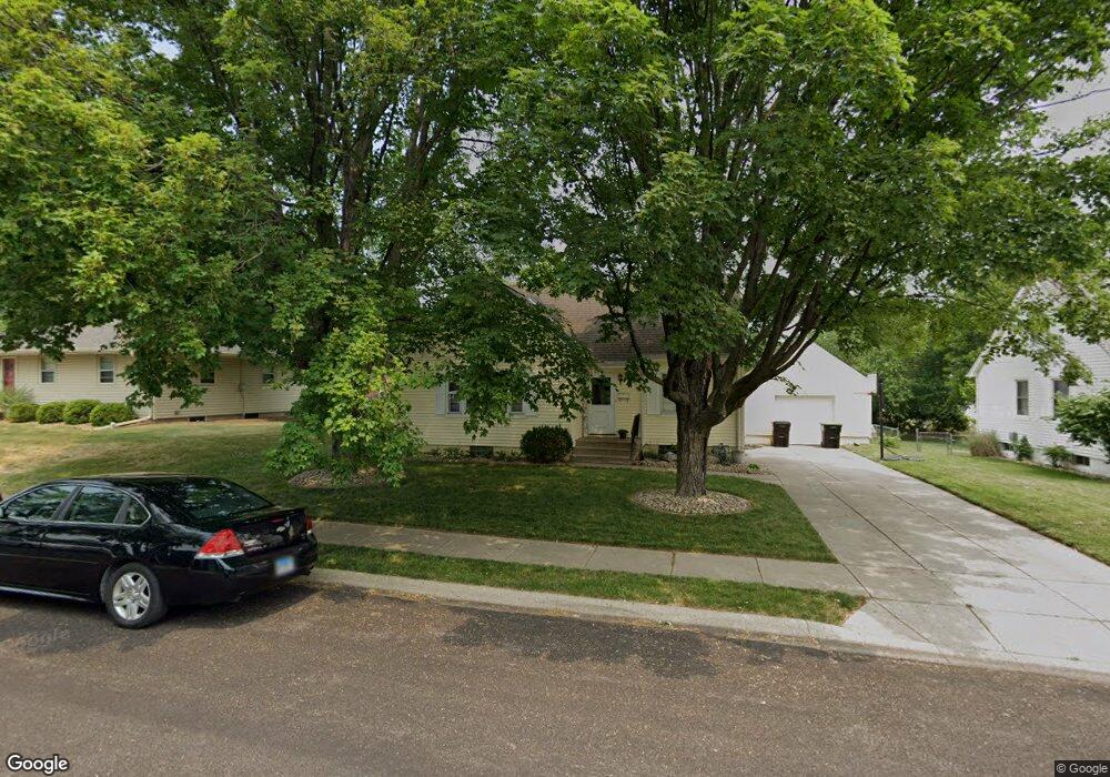
609 Michael Ct Washington, IL 61571
Estimated Value: $168,000 - $219,000
3
Beds
2
Baths
1,565
Sq Ft
$120/Sq Ft
Est. Value
About This Home
This home is located at 609 Michael Ct, Washington, IL 61571 and is currently estimated at $187,229, approximately $119 per square foot. 609 Michael Ct is a home located in Tazewell County with nearby schools including Lincoln Grade School, Washington Middle School, and Washington Community High School.
Ownership History
Date
Name
Owned For
Owner Type
Purchase Details
Closed on
Jul 21, 2006
Sold by
Starnes Glen M and Starnes Carol L
Bought by
Chambers Michael E and Chambers Jana M
Current Estimated Value
Home Financials for this Owner
Home Financials are based on the most recent Mortgage that was taken out on this home.
Original Mortgage
$94,400
Outstanding Balance
$56,290
Interest Rate
6.73%
Mortgage Type
Purchase Money Mortgage
Estimated Equity
$130,939
Create a Home Valuation Report for This Property
The Home Valuation Report is an in-depth analysis detailing your home's value as well as a comparison with similar homes in the area
Home Values in the Area
Average Home Value in this Area
Purchase History
| Date | Buyer | Sale Price | Title Company |
|---|---|---|---|
| Chambers Michael E | $118,000 | None Available |
Source: Public Records
Mortgage History
| Date | Status | Borrower | Loan Amount |
|---|---|---|---|
| Open | Chambers Michael E | $94,400 |
Source: Public Records
Tax History
| Year | Tax Paid | Tax Assessment Tax Assessment Total Assessment is a certain percentage of the fair market value that is determined by local assessors to be the total taxable value of land and additions on the property. | Land | Improvement |
|---|---|---|---|---|
| 2024 | $3,428 | $49,690 | $8,600 | $41,090 |
| 2023 | $3,428 | $46,100 | $7,980 | $38,120 |
| 2022 | $3,248 | $43,080 | $7,460 | $35,620 |
| 2021 | $3,118 | $42,020 | $7,280 | $34,740 |
| 2020 | $3,073 | $42,020 | $7,280 | $34,740 |
| 2019 | $3,016 | $42,020 | $7,280 | $34,740 |
| 2018 | $2,962 | $42,020 | $7,280 | $34,740 |
| 2017 | $2,886 | $36,980 | $6,410 | $30,570 |
| 2016 | $2,815 | $36,980 | $6,410 | $30,570 |
| 2015 | $2,753 | $0 | $0 | $0 |
| 2013 | $2,598 | $36,980 | $6,410 | $30,570 |
Source: Public Records
Map
Nearby Homes
- 1005 Peoria St
- 203 Court Dr
- 405 N Wood St
- 201 Willa Ln
- 1102 Tottenham Ct
- 408 Wilshire Dr
- 307 Walnut St
- 1307 Bobolink Dr
- 602 Ridge St
- 1506 Woodbine Dr
- 728 Wellington Dr
- 724 Wellington Dr
- 1506 Kern Rd
- 719 Wellington Dr
- 306 Parkview Dr
- 712 Wellington Dr
- 711 Wellington Dr
- 610 Westminster Dr
- 708 Wellington Dr Unit 100 N
- 704 Wellington Dr
- 607 Michael Ct
- 643 Michael Ct
- 116 Tiezzi Ln
- 611 Michael Ct
- 605 Michael Ct
- 610 W Jefferson St
- 622 Michael Ct
- 626 Michael Ct
- 606 Michael Ct
- 608 W Jefferson St
- 642 Michael Ct
- 614 W Jefferson St
- 606 W Jefferson St
- 603 Michael Ct
- 610 Michael Ct
- 608 Michael Ct
- 106 Tiezzi Ln
- 604 Michael Ct
- 604 W Jefferson St
- 701 Birkett Ct
Your Personal Tour Guide
Ask me questions while you tour the home.