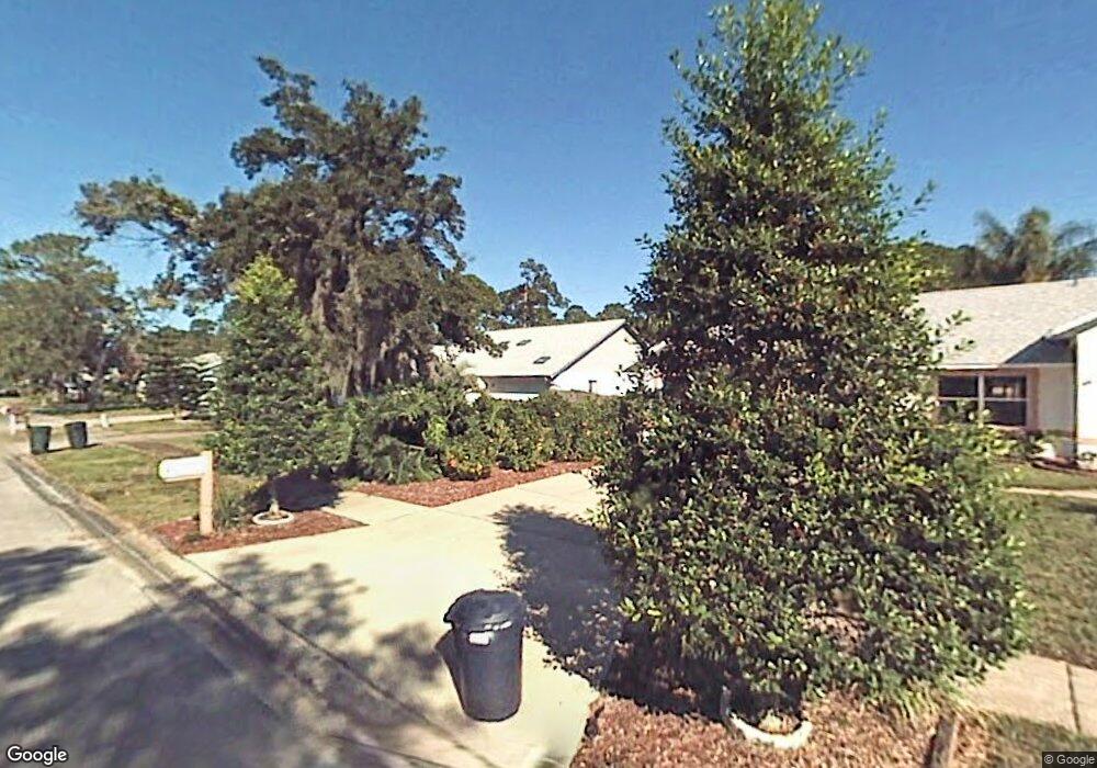
609 Newton Rd Port Orange, FL 32127
South Port Orange NeighborhoodEstimated Value: $278,814 - $337,000
2
Beds
2
Baths
1,520
Sq Ft
$203/Sq Ft
Est. Value
About This Home
This home is located at 609 Newton Rd, Port Orange, FL 32127 and is currently estimated at $308,954, approximately $203 per square foot. 609 Newton Rd is a home located in Volusia County with nearby schools including Sweetwater Elementary School, Creekside Middle School, and Spruce Creek High School.
Ownership History
Date
Name
Owned For
Owner Type
Purchase Details
Closed on
Sep 19, 1997
Sold by
Pallas John and Pallas Sara A
Bought by
Robbins Tammy L
Current Estimated Value
Home Financials for this Owner
Home Financials are based on the most recent Mortgage that was taken out on this home.
Original Mortgage
$77,400
Outstanding Balance
$12,090
Interest Rate
7.56%
Estimated Equity
$296,864
Purchase Details
Closed on
May 25, 1994
Sold by
Eschliman Kenneth F and Eschliman Elise E
Bought by
Pallas John and Grogan Sarah A
Home Financials for this Owner
Home Financials are based on the most recent Mortgage that was taken out on this home.
Original Mortgage
$74,900
Interest Rate
8.24%
Mortgage Type
FHA
Purchase Details
Closed on
Sep 15, 1990
Bought by
Robbins Tammy L
Create a Home Valuation Report for This Property
The Home Valuation Report is an in-depth analysis detailing your home's value as well as a comparison with similar homes in the area
Home Values in the Area
Average Home Value in this Area
Purchase History
| Date | Buyer | Sale Price | Title Company |
|---|---|---|---|
| Robbins Tammy L | $81,500 | -- | |
| Pallas John | $75,000 | -- | |
| Robbins Tammy L | $80,400 | -- |
Source: Public Records
Mortgage History
| Date | Status | Borrower | Loan Amount |
|---|---|---|---|
| Open | Robbins Tammy L | $77,400 | |
| Previous Owner | Pallas John | $74,900 |
Source: Public Records
Tax History Compared to Growth
Tax History
| Year | Tax Paid | Tax Assessment Tax Assessment Total Assessment is a certain percentage of the fair market value that is determined by local assessors to be the total taxable value of land and additions on the property. | Land | Improvement |
|---|---|---|---|---|
| 2025 | $1,100 | $103,525 | -- | -- |
| 2024 | $1,100 | $100,608 | -- | -- |
| 2023 | $1,100 | $97,678 | $0 | $0 |
| 2022 | $1,042 | $94,833 | $0 | $0 |
| 2021 | $1,047 | $92,071 | $0 | $0 |
| 2020 | $1,017 | $90,800 | $0 | $0 |
| 2019 | $977 | $88,759 | $0 | $0 |
| 2018 | $969 | $87,104 | $0 | $0 |
| 2017 | $961 | $85,312 | $0 | $0 |
| 2016 | $944 | $83,557 | $0 | $0 |
| 2015 | $967 | $82,976 | $0 | $0 |
| 2014 | $966 | $82,317 | $0 | $0 |
Source: Public Records
Map
Nearby Homes
- 560 Newton Rd
- 5967 Plantera Ct
- 6043 Galien Ct
- 712 Saybrook St
- 5950 Katona Dr
- 849 Whiporwill Dr
- 440 Champagne Cir
- 748 Merrimac Dr
- 513 Sun Lake Dr
- 522 Sun Lake Dr
- 682 Ferncliff Dr
- 510 Sun Lake Dr
- 487 Dawnview Square
- 724 Hillville Dr
- 6167 Half Moon Dr
- 485 Merrimac Dr
- 702 Overlook Trail
- 6138 Del Mar Dr
- 505 Moon Rise Dr
- 464 Woodstock Dr