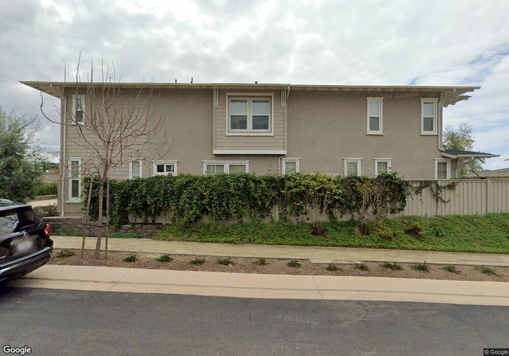
609 Polaris Dr Encinitas, CA 92024
Leucadia NeighborhoodEstimated Value: $2,436,000 - $3,119,000
4
Beds
5
Baths
3,272
Sq Ft
$889/Sq Ft
Est. Value
About This Home
This home is located at 609 Polaris Dr, Encinitas, CA 92024 and is currently estimated at $2,907,299, approximately $888 per square foot. 609 Polaris Dr is a home with nearby schools including Capri Elementary School, Diegueno Middle School, and La Costa Canyon High School.
Ownership History
Date
Name
Owned For
Owner Type
Purchase Details
Closed on
Aug 30, 2017
Sold by
Poole Patricia Sims and Poole James R
Bought by
Poole James R and Poole Patricia Sims
Current Estimated Value
Purchase Details
Closed on
Feb 8, 2016
Sold by
Shea Homes Limited Partnership
Bought by
Poole Patricia Sims and Poole James R
Home Financials for this Owner
Home Financials are based on the most recent Mortgage that was taken out on this home.
Original Mortgage
$1,156,733
Outstanding Balance
$917,914
Interest Rate
3.81%
Mortgage Type
New Conventional
Estimated Equity
$1,989,385
Create a Home Valuation Report for This Property
The Home Valuation Report is an in-depth analysis detailing your home's value as well as a comparison with similar homes in the area
Home Values in the Area
Average Home Value in this Area
Purchase History
| Date | Buyer | Sale Price | Title Company |
|---|---|---|---|
| Poole James R | -- | None Available | |
| Poole Patricia Sims | $1,285,500 | First American Title Company |
Source: Public Records
Mortgage History
| Date | Status | Borrower | Loan Amount |
|---|---|---|---|
| Open | Poole Patricia Sims | $1,156,733 |
Source: Public Records
Tax History
| Year | Tax Paid | Tax Assessment Tax Assessment Total Assessment is a certain percentage of the fair market value that is determined by local assessors to be the total taxable value of land and additions on the property. | Land | Improvement |
|---|---|---|---|---|
| 2025 | $17,825 | $1,569,405 | $651,086 | $918,319 |
| 2024 | $17,825 | $1,538,633 | $638,320 | $900,313 |
| 2023 | $17,341 | $1,508,464 | $625,804 | $882,660 |
| 2022 | $16,970 | $1,478,887 | $613,534 | $865,353 |
| 2021 | $16,370 | $1,405,772 | $601,504 | $804,268 |
| 2020 | $16,151 | $1,391,359 | $595,337 | $796,022 |
| 2019 | $15,844 | $1,364,078 | $583,664 | $780,414 |
| 2018 | $15,494 | $1,337,332 | $572,220 | $765,112 |
| 2017 | $14,853 | $1,311,110 | $561,000 | $750,110 |
| 2016 | $9,461 | $774,655 | $274,655 | $500,000 |
| 2015 | $3,400 | $245,905 | $245,905 | $0 |
| 2014 | $2,550 | $241,089 | $241,089 | $0 |
Source: Public Records
Map
Nearby Homes
- 526 Saxony Rd
- 630 Poinsettia Park N
- 844 Saxony Rd
- 537 Sweet Pea Place
- 370 Carmel Creeper Place Unit 8
- 623 Quail Gardens Ln
- 697 Ocean View Ave
- 614 Ocean View Ave
- 1103 Catania Ct Unit 207
- 1107 Catania Ct Unit 208
- 1107 Catania Ct Unit 203
- 1129 31 Saxony Rd
- 1139 41 Saxony Rd
- 1601 San Remo Place Unit 101
- 1500 Livorno Place Unit 101
- 1044 Palmaria Ct
- 553 Hygeia Ave
- 262 Coneflower St
- 0 Fulvia St Unit NDP2505418
- 1068 Passiflora Ave
- 605 Polaris Dr
- 613 Polaris Dr
- 610 Polaris Dr
- 606 Polaris Dr
- 618 Polaris Dr
- 617 Polaris Dr
- 649 Jocelyn Way
- 641 Jocelyn Way
- 645 Jocelyn Way
- 621 Polaris Dr
- 637 Jocelyn Way
- 625 Polaris Dr
- 653 Jocelyn Way
- 629 Polaris Dr
- 789 Poinsettia Park S
- 795 Poinsettia Park S
- 633 Polaris Dr
- 798 Poinsettia Park N
- 525 Saxony Rd Unit 81
- 779 Poinsettia Park S
Your Personal Tour Guide
Ask me questions while you tour the home.