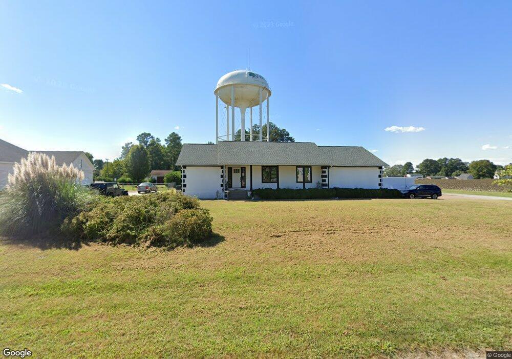
609 Quail Roost Rd Franklin, VA 23851
Estimated Value: $304,000 - $330,000
3
Beds
2
Baths
1,980
Sq Ft
$161/Sq Ft
Est. Value
About This Home
This home is located at 609 Quail Roost Rd, Franklin, VA 23851 and is currently estimated at $318,540, approximately $160 per square foot. 609 Quail Roost Rd is a home located in Franklin City with nearby schools including S.P. Morton Elementary School, Joseph P. King Jr. Middle School, and Franklin High School.
Ownership History
Date
Name
Owned For
Owner Type
Purchase Details
Closed on
Aug 1, 2022
Sold by
Jr Property Group Llc
Bought by
Garcia Adrian
Current Estimated Value
Home Financials for this Owner
Home Financials are based on the most recent Mortgage that was taken out on this home.
Original Mortgage
$274,928
Outstanding Balance
$260,540
Interest Rate
4.48%
Mortgage Type
FHA
Estimated Equity
$58,000
Purchase Details
Closed on
Jan 4, 2022
Sold by
Timothy Duck Iii Junius
Bought by
Jr Property Group Llc
Create a Home Valuation Report for This Property
The Home Valuation Report is an in-depth analysis detailing your home's value as well as a comparison with similar homes in the area
Home Values in the Area
Average Home Value in this Area
Purchase History
| Date | Buyer | Sale Price | Title Company |
|---|---|---|---|
| Garcia Adrian | $280,000 | New Title Company Name | |
| Jr Property Group Llc | $200,000 | New Title Company Name |
Source: Public Records
Mortgage History
| Date | Status | Borrower | Loan Amount |
|---|---|---|---|
| Open | Garcia Adrian | $274,928 |
Source: Public Records
Tax History Compared to Growth
Tax History
| Year | Tax Paid | Tax Assessment Tax Assessment Total Assessment is a certain percentage of the fair market value that is determined by local assessors to be the total taxable value of land and additions on the property. | Land | Improvement |
|---|---|---|---|---|
| 2024 | $2,862 | $277,900 | $50,000 | $227,900 |
| 2023 | $1,958 | $190,100 | $34,500 | $155,600 |
| 2022 | $1,958 | $190,100 | $34,500 | $155,600 |
| 2021 | $1,772 | $172,000 | $34,500 | $137,500 |
| 2020 | $1,467 | $172,000 | $34,500 | $137,500 |
| 2019 | $1,467 | $148,200 | $34,500 | $113,700 |
| 2018 | $1,467 | $148,200 | $34,500 | $113,700 |
| 2017 | $1,563 | $157,900 | $32,800 | $125,100 |
| 2016 | $1,563 | $157,900 | $32,800 | $125,100 |
| 2015 | -- | $0 | $0 | $0 |
| 2014 | -- | $0 | $0 | $0 |
| 2013 | -- | $0 | $0 | $0 |
Source: Public Records
Map
Nearby Homes
- 104 Andrews Ave
- 412 Crescent Dr
- 324 Old Sedley Rd
- 205 Country Club Rd
- 208 Country Club Rd
- 208 Holly Cove St
- 160 Beechwood Dr
- 144 Beechwood Dr
- 317 Carrie Dr
- 108 Lake Crescent
- 105 Barrister Ln
- 1320 Clay St
- 100 Sunset Dr
- 136 Wynnwood Dr
- 113 Rawlsdale Rd
- 132 Queens Ln
- 105 Homestead Rd
- 106 Summit View Ln
- 105 Summit View Ln
- 111 Summit View Ln
- 605 Quail Roost Rd
- 613 Quail Roost Rd
- 601 Quail Roost Rd
- 148 Covey Cir
- 149 Covey Cir
- 152 Covey Cir
- 131 Bobwhite Ln
- 630 Hunterdale Rd
- 153 Covey Cir
- 139 Bobwhite Ln
- 129 Bobwhite Ln
- 156 Covey Cir
- 157 Covey Cir
- 125 Bobwhite Ln
- 151 Bobwhite Ln
- 147 Bobwhite Ln
- 160 Covey Cir
- 121 Bobwhite Ln
- 161 Covey Cir
- 144 Bobwhite Ln