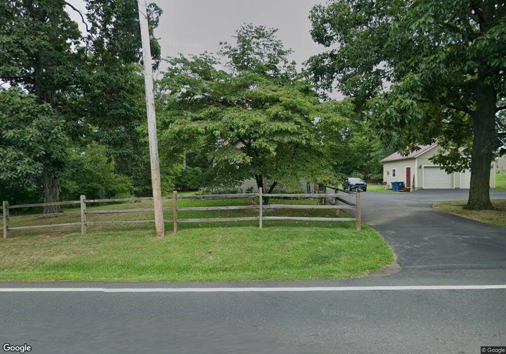
609 Route 152 Perkasie, PA 18944
Estimated Value: $306,000 - $457,877
4
Beds
2
Baths
1,604
Sq Ft
$253/Sq Ft
Est. Value
About This Home
This home is located at 609 Route 152, Perkasie, PA 18944 and is currently estimated at $405,969, approximately $253 per square foot. 609 Route 152 is a home located in Bucks County with nearby schools including Pennridge High School, Souderton Charter School Collaborative, and Plumstead Christ School Peace Val.
Ownership History
Date
Name
Owned For
Owner Type
Purchase Details
Closed on
May 28, 2021
Sold by
Benner Charles B
Bought by
Benner Charles B and Romanowski Kellyanne
Current Estimated Value
Home Financials for this Owner
Home Financials are based on the most recent Mortgage that was taken out on this home.
Original Mortgage
$165,350
Outstanding Balance
$123,894
Interest Rate
2.2%
Mortgage Type
New Conventional
Estimated Equity
$282,075
Purchase Details
Closed on
Jul 11, 2018
Sold by
Benner Christine M
Bought by
Benner Charles B
Purchase Details
Closed on
Aug 19, 1994
Sold by
Crawford Tim S and Crawford Donna G
Bought by
Benner Charles B and Benner Christine M
Home Financials for this Owner
Home Financials are based on the most recent Mortgage that was taken out on this home.
Original Mortgage
$121,600
Interest Rate
6.37%
Purchase Details
Closed on
Apr 12, 1979
Bought by
Crawford Tim S and Crawford Donna G
Create a Home Valuation Report for This Property
The Home Valuation Report is an in-depth analysis detailing your home's value as well as a comparison with similar homes in the area
Home Values in the Area
Average Home Value in this Area
Purchase History
| Date | Buyer | Sale Price | Title Company |
|---|---|---|---|
| Benner Charles B | -- | Hunter Title | |
| Benner Charles B | -- | None Available | |
| Benner Charles B | $128,000 | Fidelity National Title Ins | |
| Crawford Tim S | $44,000 | -- |
Source: Public Records
Mortgage History
| Date | Status | Borrower | Loan Amount |
|---|---|---|---|
| Open | Benner Charles B | $165,350 | |
| Previous Owner | Benner Charles B | $121,600 |
Source: Public Records
Tax History Compared to Growth
Tax History
| Year | Tax Paid | Tax Assessment Tax Assessment Total Assessment is a certain percentage of the fair market value that is determined by local assessors to be the total taxable value of land and additions on the property. | Land | Improvement |
|---|---|---|---|---|
| 2025 | $3,726 | $21,730 | $4,960 | $16,770 |
| 2024 | $3,726 | $21,730 | $4,960 | $16,770 |
| 2023 | $3,682 | $21,730 | $4,960 | $16,770 |
| 2022 | $3,337 | $19,690 | $4,960 | $14,730 |
| 2021 | $2,989 | $17,640 | $4,960 | $12,680 |
| 2020 | $2,989 | $17,640 | $4,960 | $12,680 |
| 2019 | $2,972 | $17,640 | $4,960 | $12,680 |
| 2018 | $2,972 | $17,640 | $4,960 | $12,680 |
| 2017 | $2,950 | $17,640 | $4,960 | $12,680 |
| 2016 | $2,950 | $17,640 | $4,960 | $12,680 |
| 2015 | -- | $17,640 | $4,960 | $12,680 |
| 2014 | -- | $17,640 | $4,960 | $12,680 |
Source: Public Records
Map
Nearby Homes
- 346 Maregan Dr
- 0010 Baldwin Way
- 0003 Baldwin Way
- 0004 Baldwin Way
- 0002 Baldwin Way
- 0009 Baldwin Way
- 2 Baldwin Way
- 0008 Baldwin Way
- 1 Baldwin Way
- 0007 Baldwin Way
- 0 Callowhill Rd Unit PABU2108060
- 810 Callowhill Rd
- 170 W Main St
- 206 Twinbrook Rd
- 1528 Hilltown Pike
- 420 Longleaf Dr
- 964 Route Unit 113
- 114 Orchard Rd
- 744 Broad St
- 508 Telegraph Rd
- 603 Route 152
- 652 Bennett Ln
- 656 Bennett Ln
- 648 Bennett Ln
- 660 Bennett Ln
- 1730 Fairhill Rd
- 647 Bennett Ln
- 644 Bennett Ln
- 664 Bennett Ln
- 659 Bennett Ln
- 1722 Fairhill Rd
- 668 Bennett Ln
- 640 Bennett Ln
- 663 Bennett Ln
- 672 Bennett Ln
- 639 Bennett Ln
- 711 Route 152
- 636 Bennett Ln
- 635 Bennett Ln
- 0 Hartzel Way Unit 6734302