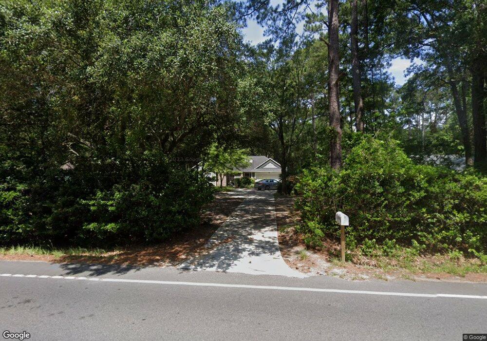
609 Sams Point Rd Beaufort, SC 29907
Estimated Value: $347,374 - $386,000
3
Beds
2
Baths
1,317
Sq Ft
$272/Sq Ft
Est. Value
About This Home
This home is located at 609 Sams Point Rd, Beaufort, SC 29907 and is currently estimated at $358,344, approximately $272 per square foot. 609 Sams Point Rd is a home located in Beaufort County with nearby schools including Coosa Elementary School, Lady's Island Middle School, and Beaufort High School.
Ownership History
Date
Name
Owned For
Owner Type
Purchase Details
Closed on
Feb 15, 2006
Sold by
Veit Gary L
Bought by
Veerkamp Derek D
Current Estimated Value
Home Financials for this Owner
Home Financials are based on the most recent Mortgage that was taken out on this home.
Original Mortgage
$157,500
Outstanding Balance
$87,824
Interest Rate
6.04%
Mortgage Type
Fannie Mae Freddie Mac
Estimated Equity
$270,520
Purchase Details
Closed on
Dec 31, 2001
Sold by
Lopresti June B
Bought by
Veit Gary L
Home Financials for this Owner
Home Financials are based on the most recent Mortgage that was taken out on this home.
Original Mortgage
$108,000
Interest Rate
8.75%
Create a Home Valuation Report for This Property
The Home Valuation Report is an in-depth analysis detailing your home's value as well as a comparison with similar homes in the area
Home Values in the Area
Average Home Value in this Area
Purchase History
| Date | Buyer | Sale Price | Title Company |
|---|---|---|---|
| Veerkamp Derek D | $175,000 | None Available | |
| Veit Gary L | $120,000 | -- |
Source: Public Records
Mortgage History
| Date | Status | Borrower | Loan Amount |
|---|---|---|---|
| Open | Veerkamp Derek D | $157,500 | |
| Previous Owner | Veit Gary L | $108,000 |
Source: Public Records
Tax History Compared to Growth
Tax History
| Year | Tax Paid | Tax Assessment Tax Assessment Total Assessment is a certain percentage of the fair market value that is determined by local assessors to be the total taxable value of land and additions on the property. | Land | Improvement |
|---|---|---|---|---|
| 2024 | $3,367 | $12,550 | $0 | $0 |
| 2023 | $3,367 | $12,550 | $0 | $0 |
| 2022 | $3,094 | $10,910 | $0 | $0 |
| 2021 | $3,000 | $10,910 | $0 | $0 |
| 2020 | $2,900 | $10,910 | $0 | $0 |
| 2019 | $2,861 | $10,910 | $0 | $0 |
| 2018 | $2,710 | $10,910 | $0 | $0 |
| 2017 | $2,459 | $9,490 | $0 | $0 |
| 2016 | $2,408 | $9,490 | $0 | $0 |
| 2014 | $1,847 | $9,490 | $0 | $0 |
Source: Public Records
Map
Nearby Homes
- 591 Sams Point Rd
- 1 Royal Pines Blvd
- 77 Wade Hampton Dr
- 9 Attaway Ln
- 571 Sams Point Rd
- 1 Pickens St
- 47 Wade Hampton Dr
- 19 Pickens St
- 47 Mary Elizabeth Dr
- 525 Sams Point Rd
- 123 Francis Marion Cir
- 22 Egret Dr
- 22 Wade Hampton Dr
- 15 Woods Ln
- 18 Hewlett Rd
- 13 Woods Ln
- 14 Wade Hampton Dr
- 34 Thomas Sumter St
- 9 Woods Ln
- 7 Woods Ln
- 605 Sams Point Rd
- 611 Sams Point Rd
- 601 Sams Point Rd
- 1 Attaway Ln
- 599 Sams Point Rd
- 5 Spring Knob Cir
- 595 Sams Point Rd
- 621 Sams Point Rd
- 25 Spring Knob Cir
- 7 Pine Run Trail
- 7 Spring Knob Cir
- 78 Wade Hampton Dr
- 4 Spring Knob Cir
- 2 Pine Run Trail
- 76 Wade Hampton Dr
- 4 Pine Run Trail
- 624 Sams Point Rd
- 84 Wade Hampton Dr
- 7 Royal Pines Blvd
- 72 Wade Hampton Dr