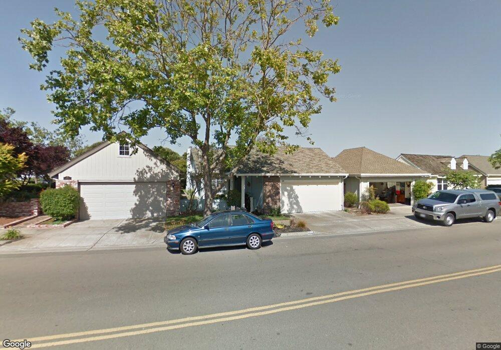
609 Sheffield Rd Alameda, CA 94502
Harbor Bay/Bay Farm NeighborhoodEstimated Value: $1,178,528 - $1,537,000
3
Beds
2
Baths
1,500
Sq Ft
$912/Sq Ft
Est. Value
About This Home
This home is located at 609 Sheffield Rd, Alameda, CA 94502 and is currently estimated at $1,368,132, approximately $912 per square foot. 609 Sheffield Rd is a home located in Alameda County with nearby schools including Amelia Earhart Elementary School, Lincoln Middle School, and Alameda High School.
Ownership History
Date
Name
Owned For
Owner Type
Purchase Details
Closed on
Feb 3, 2022
Sold by
Janmin Lee Philip and Adelena Maria
Bought by
Tonione Lee Family Trust
Current Estimated Value
Purchase Details
Closed on
Oct 17, 2008
Sold by
Richardson Carolyn A
Bought by
Lee Philip and Tonione Maria
Home Financials for this Owner
Home Financials are based on the most recent Mortgage that was taken out on this home.
Original Mortgage
$536,000
Interest Rate
5.9%
Mortgage Type
Purchase Money Mortgage
Create a Home Valuation Report for This Property
The Home Valuation Report is an in-depth analysis detailing your home's value as well as a comparison with similar homes in the area
Home Values in the Area
Average Home Value in this Area
Purchase History
| Date | Buyer | Sale Price | Title Company |
|---|---|---|---|
| Tonione Lee Family Trust | -- | Tseng Law Firm | |
| Lee Philip | $670,000 | Old Republic Title Company |
Source: Public Records
Mortgage History
| Date | Status | Borrower | Loan Amount |
|---|---|---|---|
| Previous Owner | Lee Philip | $536,000 |
Source: Public Records
Tax History
| Year | Tax Paid | Tax Assessment Tax Assessment Total Assessment is a certain percentage of the fair market value that is determined by local assessors to be the total taxable value of land and additions on the property. | Land | Improvement |
|---|---|---|---|---|
| 2025 | $12,302 | $862,738 | $258,821 | $603,917 |
| 2024 | $12,302 | $845,827 | $253,748 | $592,079 |
| 2023 | $11,827 | $829,244 | $248,773 | $580,471 |
| 2022 | $11,560 | $812,990 | $243,897 | $569,093 |
| 2021 | $11,274 | $797,051 | $239,115 | $557,936 |
| 2020 | $11,136 | $788,884 | $236,665 | $552,219 |
| 2019 | $10,622 | $773,420 | $232,026 | $541,394 |
| 2018 | $10,250 | $758,258 | $227,477 | $530,781 |
| 2017 | $9,870 | $743,391 | $223,017 | $520,374 |
| 2016 | $9,889 | $728,818 | $218,645 | $510,173 |
| 2015 | $9,778 | $717,877 | $215,363 | $502,514 |
| 2014 | $9,321 | $703,821 | $211,146 | $492,675 |
Source: Public Records
Map
Nearby Homes
- 2959 Sea View Pkwy
- 137 Parfait Ln
- 2857 Sea View Pkwy
- 267 Ennismore Ct
- 30 Sea Bridge
- 405 Centre Ct
- 608 Centre Ct
- 641 Centre Ct
- 154 Basinside Way
- 179 Oyster Pond Rd
- 622 Ironwood Rd
- 820 Island Dr
- 35 Leonard Ct
- 1007 Via Aliso
- 1037 Via Bonita
- 1100 Park Ave
- 1211 Court St
- 1119 Camino Del Valle
- 3037 Linda Vista
- 954 Park St
- 615 Sheffield Rd
- 605 Sheffield Rd
- 621 Sheffield Rd
- 142 Norwich Rd
- 146 Norwich Rd
- 625 Sheffield Rd
- 138 Norwich Rd
- 134 Norwich Rd
- 631 Sheffield Rd
- 130 Norwich Rd
- 134 Oak Park Dr
- 130 Oak Park Dr
- 42 Oak Park Dr
- 46 Oak Park Dr
- 148 Roxburg Ln
- 140 Roxburg Ln
- 138 Oak Park Dr
- 637 Sheffield Rd
- 126 Norwich Rd
- 38 Oak Park Dr
Your Personal Tour Guide
Ask me questions while you tour the home.