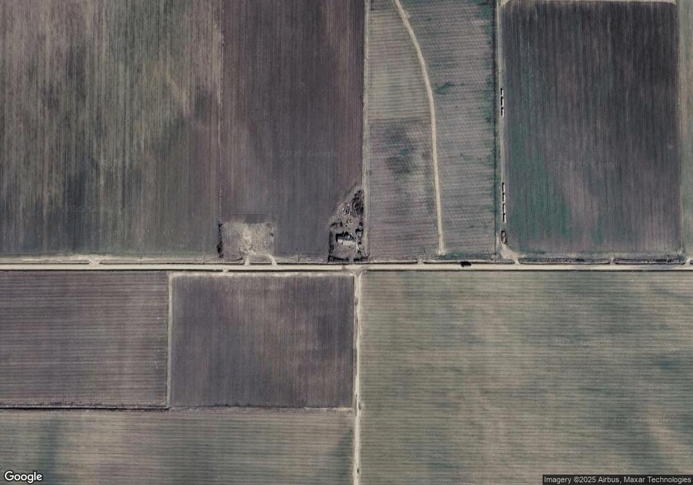
609 Smith Loop Tillar, AR 71670
Estimated Value: $91,000 - $229,850
Studio
2
Baths
1,566
Sq Ft
$99/Sq Ft
Est. Value
About This Home
This home is located at 609 Smith Loop, Tillar, AR 71670 and is currently estimated at $154,283, approximately $98 per square foot. 609 Smith Loop is a home located in Desha County with nearby schools including McGehee Elementary School, Conner Middle School, and McGehee High School.
Ownership History
Date
Name
Owned For
Owner Type
Purchase Details
Closed on
Jul 22, 2002
Bought by
Robert and Rita Robertson
Current Estimated Value
Purchase Details
Closed on
Oct 16, 1997
Bought by
Robert and Rita Robertson
Purchase Details
Closed on
Apr 20, 1993
Bought by
Robert and Rita Robertson
Purchase Details
Closed on
Dec 12, 1989
Bought by
Freeman and Mays
Purchase Details
Closed on
Sep 3, 1985
Bought by
Thomas Gregory
Purchase Details
Closed on
Jun 17, 1968
Bought by
Rancifer
Create a Home Valuation Report for This Property
The Home Valuation Report is an in-depth analysis detailing your home's value as well as a comparison with similar homes in the area
Home Values in the Area
Average Home Value in this Area
Purchase History
| Date | Buyer | Sale Price | Title Company |
|---|---|---|---|
| Robert | $900 | -- | |
| Robert | -- | -- | |
| Robert | $40,000 | -- | |
| Freeman | -- | -- | |
| Thomas Gregory | $1,000 | -- | |
| Rancifer | $15,000 | -- |
Source: Public Records
Tax History
| Year | Tax Paid | Tax Assessment Tax Assessment Total Assessment is a certain percentage of the fair market value that is determined by local assessors to be the total taxable value of land and additions on the property. | Land | Improvement |
|---|---|---|---|---|
| 2025 | $1,184 | $24,250 | $9,010 | $15,240 |
| 2024 | $1,032 | $24,250 | $9,010 | $15,240 |
| 2023 | $955 | $24,250 | $9,010 | $15,240 |
| 2022 | $939 | $24,250 | $9,010 | $15,240 |
| 2021 | $856 | $22,310 | $7,780 | $14,530 |
| 2020 | $801 | $22,310 | $7,780 | $14,530 |
| 2019 | $756 | $22,310 | $7,780 | $14,530 |
| 2018 | $737 | $22,310 | $7,780 | $14,530 |
| 2017 | $677 | $22,310 | $7,780 | $14,530 |
| 2015 | -- | $13,480 | $5,270 | $8,210 |
| 2014 | -- | $13,150 | $5,270 | $7,880 |
| 2013 | -- | $13,150 | $5,270 | $7,880 |
Source: Public Records
Map
Nearby Homes
- 391 Wolf Project
- 357 Wolf Project
- 357 Wolf Project
- 361 Wolf Project
- 468 Smith Loop
- 379 Wolf Project
- 493 Smith Loop
- 470 Smith Loop
- 401 Wolf Project
- 473 Smith Loop
- 755 Crawford Crossing
- 755 Crawford Crossing
- 308 Wolf Project
- 308 Wolf Project
- 291 Wolf Project
- 436 Smith Loop
- 447 Wolf Project
- 746 Crawford Crossing
- 449 Wolf Project
- 440 Wolf Project
