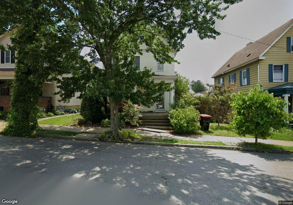
609 Spring St Latrobe, PA 15650
Estimated Value: $182,000 - $228,000
Studio
--
Bath
1,906
Sq Ft
$107/Sq Ft
Est. Value
About This Home
This home is located at 609 Spring St, Latrobe, PA 15650 and is currently estimated at $203,282, approximately $106 per square foot. 609 Spring St is a home located in Westmoreland County with nearby schools including Greater Latrobe Junior High School, Greater Latrobe Senior High School, and Christ the Divine Teacher School.
Ownership History
Date
Name
Owned For
Owner Type
Purchase Details
Closed on
Jun 22, 2007
Sold by
Jellison Robert G and Jellison Jody L
Bought by
Baum Melissa Nicole and Baum Alan W
Current Estimated Value
Home Financials for this Owner
Home Financials are based on the most recent Mortgage that was taken out on this home.
Original Mortgage
$110,500
Outstanding Balance
$66,693
Interest Rate
6.39%
Mortgage Type
Purchase Money Mortgage
Estimated Equity
$136,589
Purchase Details
Closed on
Jun 18, 2005
Sold by
Reed Norman E and Reed Mary D
Bought by
Jellison Robert G and Jellison Jody L
Home Financials for this Owner
Home Financials are based on the most recent Mortgage that was taken out on this home.
Original Mortgage
$93,000
Interest Rate
9.7%
Mortgage Type
Fannie Mae Freddie Mac
Create a Home Valuation Report for This Property
The Home Valuation Report is an in-depth analysis detailing your home's value as well as a comparison with similar homes in the area
Home Values in the Area
Average Home Value in this Area
Purchase History
| Date | Buyer | Sale Price | Title Company |
|---|---|---|---|
| Baum Melissa Nicole | $110,500 | None Available | |
| Jellison Robert G | $93,000 | United General Title Ins Co |
Source: Public Records
Mortgage History
| Date | Status | Borrower | Loan Amount |
|---|---|---|---|
| Open | Baum Melissa Nicole | $110,500 | |
| Previous Owner | Jellison Robert G | $93,000 |
Source: Public Records
Tax History
| Year | Tax Paid | Tax Assessment Tax Assessment Total Assessment is a certain percentage of the fair market value that is determined by local assessors to be the total taxable value of land and additions on the property. | Land | Improvement |
|---|---|---|---|---|
| 2026 | $1,785 | $12,840 | $1,980 | $10,860 |
| 2025 | $1,772 | $12,840 | $1,980 | $10,860 |
| 2024 | $1,772 | $12,840 | $1,980 | $10,860 |
| 2023 | $1,643 | $12,840 | $1,980 | $10,860 |
| 2022 | $1,643 | $12,840 | $1,980 | $10,860 |
| 2021 | $1,631 | $12,840 | $1,980 | $10,860 |
| 2020 | $1,608 | $12,840 | $1,980 | $10,860 |
| 2019 | $1,589 | $12,840 | $1,980 | $10,860 |
| 2018 | $1,582 | $12,840 | $1,980 | $10,860 |
| 2017 | $1,560 | $12,840 | $1,980 | $10,860 |
| 2016 | $1,547 | $12,840 | $1,980 | $10,860 |
| 2015 | $1,547 | $12,840 | $1,980 | $10,860 |
| 2014 | $1,534 | $12,840 | $1,980 | $10,860 |
Source: Public Records
Map
Nearby Homes
- 625 Spring St
- 1209 Ridge Ave
- 407 Walnut St
- 701 Fairmont St
- 417 Fairmont St
- 717 Brinker Ave
- 605 St Clair
- 1505 Raymond Ave
- 700 Hoke St
- 721 Lehmer St
- 1319 Jefferson St
- 1710 Raymond Ave
- 330 Spruce St
- 1608 Jefferson St
- 934 Wood St
- 201 Thompson St
- 209 Gertrude St
- 2101 Walnut Dr
- 1908 Walnut Dr
- 1815 Wood St
Your Personal Tour Guide
Ask me questions while you tour the home.