609 Victoria Station Way Unit 611 Fort Wayne, IN 46814
Southwest Fort Wayne NeighborhoodEstimated Value: $234,000 - $333,000
3
Beds
2
Baths
1,361
Sq Ft
$205/Sq Ft
Est. Value
About This Home
This home is located at 609 Victoria Station Way Unit 611, Fort Wayne, IN 46814 and is currently estimated at $278,993, approximately $204 per square foot. 609 Victoria Station Way Unit 611 is a home located in Allen County with nearby schools including Deer Ridge Elementary School, Woodside Middle School, and Homestead Senior High School.
Ownership History
Date
Name
Owned For
Owner Type
Purchase Details
Closed on
Jun 4, 2014
Sold by
Granite Ridge Builders Inc
Bought by
Duke Linda K
Current Estimated Value
Home Financials for this Owner
Home Financials are based on the most recent Mortgage that was taken out on this home.
Original Mortgage
$144,727
Outstanding Balance
$23,525
Interest Rate
4.34%
Mortgage Type
USDA
Estimated Equity
$255,468
Purchase Details
Closed on
Nov 18, 2013
Sold by
Parent Investment Associates Llc
Bought by
Ridge Builders Inc
Purchase Details
Closed on
Mar 15, 2013
Sold by
Pia Assoc
Bought by
Parent Investment Associates Llc
Purchase Details
Closed on
Mar 28, 2012
Sold by
Bibly Norman Douglas
Bought by
Grabill Bank
Purchase Details
Closed on
Dec 12, 2010
Sold by
Borgmann Lisbeth A
Bought by
P I A Assoc
Create a Home Valuation Report for This Property
The Home Valuation Report is an in-depth analysis detailing your home's value as well as a comparison with similar homes in the area
Home Values in the Area
Average Home Value in this Area
Purchase History
| Date | Buyer | Sale Price | Title Company |
|---|---|---|---|
| Duke Linda K | -- | Titan Title Services Llc | |
| Ridge Builders Inc | -- | Renaissance Title | |
| Parent Investment Associates Llc | -- | None Available | |
| Grabill Bank | -- | None Available | |
| P I A Assoc | $1,000 | None Available |
Source: Public Records
Mortgage History
| Date | Status | Borrower | Loan Amount |
|---|---|---|---|
| Open | Duke Linda K | $144,727 |
Source: Public Records
Tax History Compared to Growth
Tax History
| Year | Tax Paid | Tax Assessment Tax Assessment Total Assessment is a certain percentage of the fair market value that is determined by local assessors to be the total taxable value of land and additions on the property. | Land | Improvement |
|---|---|---|---|---|
| 2024 | $1,458 | $236,000 | $42,000 | $194,000 |
| 2022 | $1,321 | $205,200 | $25,000 | $180,200 |
| 2021 | $1,015 | $163,800 | $25,000 | $138,800 |
| 2020 | $945 | $154,300 | $25,000 | $129,300 |
| 2019 | $998 | $156,400 | $25,000 | $131,400 |
| 2018 | $974 | $154,600 | $25,000 | $129,600 |
| 2017 | $933 | $143,600 | $25,000 | $118,600 |
| 2016 | $895 | $137,200 | $25,000 | $112,200 |
| 2014 | $208 | $62,300 | $25,000 | $37,300 |
| 2013 | $5 | $300 | $300 | $0 |
Source: Public Records
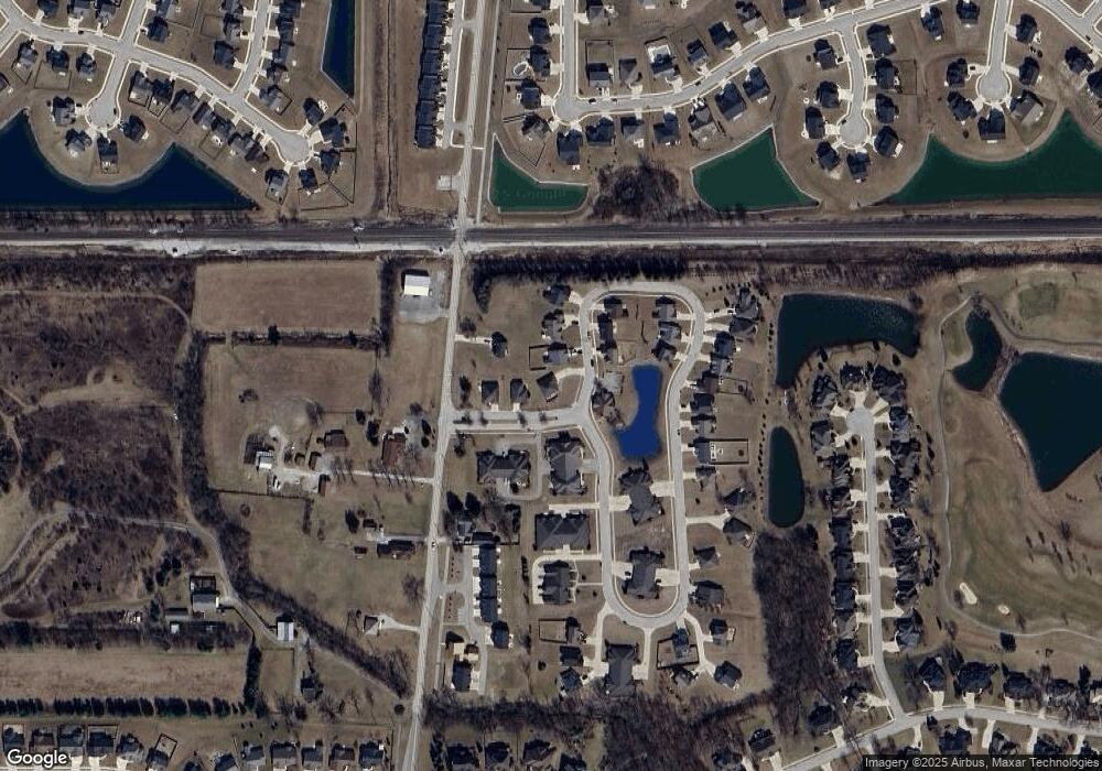
Map
Nearby Homes
- 12408 Hawkins Way
- 12671 Slash Pass
- 940 Mayrock Dr
- 13038 Silk Tree Trail
- 188 Begonia Ct
- 13035 Silk Tree Trail
- 967 Mayrock Dr
- 940 Meravi Cove
- 202 Royal Crest Dr
- 1017 Matteoti Ct
- 1261 W Hamilton Rd N
- 13079 Silk Tree Trail
- 1303 N West Hamilton Rd
- 12455 Palmira Blvd
- 12306 Mckays Point
- 12423 Palmira Blvd
- 12921 Slash Pass
- 12946 Magnolia Creek Trail
- 1262 Hendrix Run
- 13119 Halen Hill Ct
- 609 Victoria Station Way
- 12726 Grand Station Dr
- 12701 Grand Station Dr
- 626 Victoria Station Way
- 531 Victoria Station Way
- 705 Victoria Station Way
- 12739 Grand Station Dr
- 704 Victoria Station Way
- 12744 Grand Station Dr
- 12744 Grand Station Dr
- 12733 Grand Station Dr
- 529 Victoria Station Way
- 12709 Grand Station Dr
- 525 Victoria Station Way
- 714 Victoria Station Way
- 12725 Grand Station Dr
- 723 Victoria Station Way
- 633 Union Station Dr
- 12741 Grand Station Dr
- 12717 Grand Station Dr