Estimated Value: $1,643,962
1
Bed
1
Bath
2,733
Sq Ft
$602/Sq Ft
Est. Value
About This Home
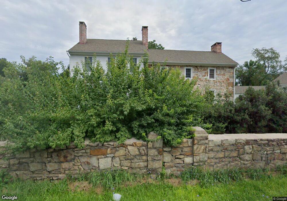
This home is located at 609 W Lincoln Hwy Unit 607 B, Exton, PA 19341 and is currently estimated at $1,643,962, approximately $601 per square foot. 609 W Lincoln Hwy Unit 607 B is a home located in Chester County with nearby schools including Mary C Howse Elementary School, E.N. Peirce Middle School, and Henderson High School.
Ownership History
Date
Name
Owned For
Owner Type
Purchase Details
Closed on
Jun 29, 2017
Sold by
Davies Ronald W and Ronald W Davies Living Trust
Bought by
West Whiteland Inn Llc
Current Estimated Value
Purchase Details
Closed on
Oct 1, 2015
Sold by
Dtc 479 Tjw Lp
Bought by
Posh Properties #24 and Wind Gap Family Limited Partnership
Purchase Details
Closed on
Jul 17, 2006
Sold by
Davies Ronald W
Bought by
Davies Ronald W and Ronald W Davies Living Trust
Purchase Details
Closed on
Oct 20, 2005
Sold by
Samuel Tabas Family Foundation
Bought by
Davies Ronald W
Create a Home Valuation Report for This Property
The Home Valuation Report is an in-depth analysis detailing your home's value as well as a comparison with similar homes in the area
Home Values in the Area
Average Home Value in this Area
Purchase History
| Date | Buyer | Sale Price | Title Company |
|---|---|---|---|
| West Whiteland Inn Llc | $1,050,000 | None Available | |
| Posh Properties #24 | $6,850,000 | Attorney | |
| Davies Ronald W | -- | None Available | |
| Davies Ronald W | $475,000 | -- |
Source: Public Records
Tax History Compared to Growth
Tax History
| Year | Tax Paid | Tax Assessment Tax Assessment Total Assessment is a certain percentage of the fair market value that is determined by local assessors to be the total taxable value of land and additions on the property. | Land | Improvement |
|---|---|---|---|---|
| 2025 | $13,785 | $475,550 | $323,370 | $152,180 |
| 2024 | $13,785 | $475,550 | $323,370 | $152,180 |
| 2023 | $13,173 | $475,550 | $323,370 | $152,180 |
| 2022 | $12,995 | $475,550 | $323,370 | $152,180 |
| 2021 | $12,805 | $475,550 | $323,370 | $152,180 |
| 2020 | $12,719 | $475,550 | $323,370 | $152,180 |
| 2019 | $12,536 | $475,550 | $323,370 | $152,180 |
| 2018 | $10,003 | $388,130 | $323,370 | $64,760 |
| 2017 | $9,776 | $388,130 | $323,370 | $64,760 |
| 2016 | $8,665 | $388,130 | $323,370 | $64,760 |
| 2015 | $8,665 | $388,130 | $323,370 | $64,760 |
| 2014 | $8,665 | $388,130 | $323,370 | $64,760 |
Source: Public Records
Map
Nearby Homes
- 555 Pewter Dr Unit 555
- 315 Tapestry Cir
- 470 Lee Place
- 16 Long Dr
- 315 Old Kings Hwy
- 427 Lee Place
- 26 Mcilvain Dr
- 13 Jackson Ct
- 315 Oak Ln W
- 422 Spackman Ln
- 510 Pine Needle Dr
- 1020 Boot Rd
- 214 Louis Dr
- 411 Rennard Dr
- 124 Azalea Dr
- 211 Hibiscus Way
- 5 Ansley Dr
- 300 Winding Way Unit B16
- 400 Winding Way Unit C16
- 300 Winding Way Unit B4
- 609 W Lincoln Hwy
- 79 Buttonwood Dr Unit 79
- 75 Buttonwood Dr Unit 7179
- 73 Buttonwood Dr Unit 73
- 71 Buttonwood Dr Unit 71
- 69 Buttonwood Dr
- 78 Buttonwood Dr Unit 78
- 76 Buttonwood Dr Unit 7078
- 74 Buttonwood Dr Unit 78
- 72 Buttonwood Dr Unit 7078
- 67 Buttonwood Dr
- 70 Buttonwood Dr Unit 7078
- 65 Buttonwood Dr Unit 65
- 63 Buttonwood Dr Unit 63
- 68 Buttonwood Dr Unit 68
- 66 Buttonwood Dr Unit 66
- 61 Buttonwood Dr Unit 61
- 64 Buttonwood Dr
- 62 Buttonwood Dr Unit 6268
- 101 Arrandale Blvd Unit 103