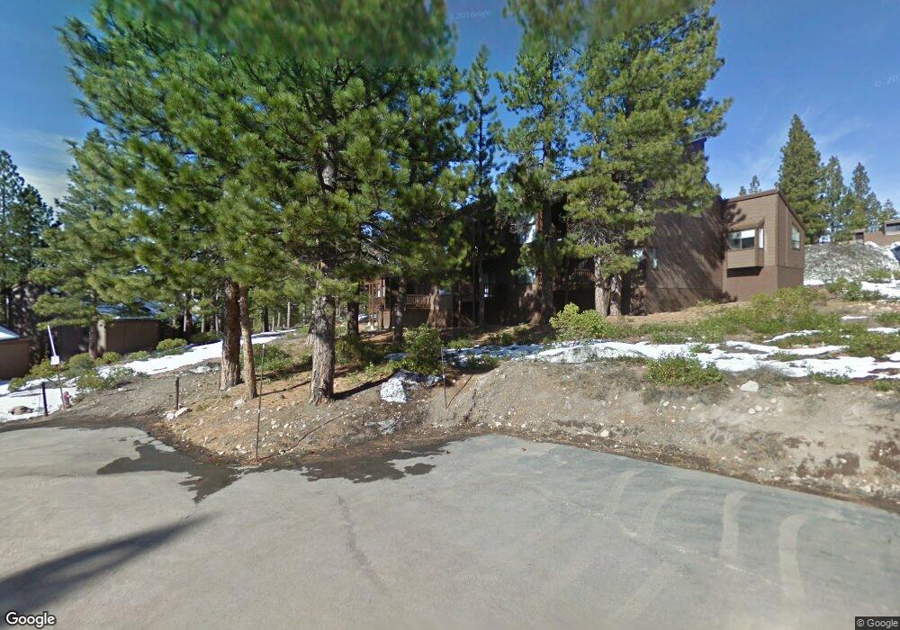
6091 Rocky Point Cir Truckee, CA 96161
South Truckee NeighborhoodEstimated Value: $709,000 - $807,000
2
Beds
2
Baths
1,000
Sq Ft
$744/Sq Ft
Est. Value
About This Home
This home is located at 6091 Rocky Point Cir, Truckee, CA 96161 and is currently estimated at $743,714, approximately $743 per square foot. 6091 Rocky Point Cir is a home located in Placer County with nearby schools including Truckee Elementary School, Alder Creek Middle School, and Tahoe Truckee High School.
Ownership History
Date
Name
Owned For
Owner Type
Purchase Details
Closed on
Jun 7, 2002
Sold by
Burrichter David J and Burrichter Kathleen M
Bought by
Dam Marjorie A
Current Estimated Value
Purchase Details
Closed on
Feb 3, 1998
Sold by
Biesheuvel Thomas R and Biesheuvel Linda
Bought by
Burrichter David J and Burrichter Kathleen M
Home Financials for this Owner
Home Financials are based on the most recent Mortgage that was taken out on this home.
Original Mortgage
$160,000
Interest Rate
6.95%
Create a Home Valuation Report for This Property
The Home Valuation Report is an in-depth analysis detailing your home's value as well as a comparison with similar homes in the area
Home Values in the Area
Average Home Value in this Area
Purchase History
| Date | Buyer | Sale Price | Title Company |
|---|---|---|---|
| Dam Marjorie A | $380,000 | Fidelity National Title | |
| Burrichter David J | $215,000 | Fidelity National Title Co |
Source: Public Records
Mortgage History
| Date | Status | Borrower | Loan Amount |
|---|---|---|---|
| Previous Owner | Burrichter David J | $160,000 |
Source: Public Records
Tax History Compared to Growth
Tax History
| Year | Tax Paid | Tax Assessment Tax Assessment Total Assessment is a certain percentage of the fair market value that is determined by local assessors to be the total taxable value of land and additions on the property. | Land | Improvement |
|---|---|---|---|---|
| 2025 | $8,277 | $543,628 | $196,470 | $347,158 |
| 2023 | $8,277 | $522,520 | $188,842 | $333,678 |
| 2022 | $7,968 | $512,276 | $185,140 | $327,136 |
| 2021 | $7,402 | $500,000 | $181,000 | $319,000 |
| 2020 | $6,435 | $405,000 | $147,000 | $258,000 |
| 2019 | $6,357 | $390,000 | $142,000 | $248,000 |
| 2018 | $6,077 | $380,000 | $138,000 | $242,000 |
| 2017 | $5,981 | $375,000 | $136,000 | $239,000 |
| 2016 | $6,012 | $375,000 | $135,500 | $239,500 |
| 2015 | $5,976 | $380,000 | $137,300 | $242,700 |
| 2014 | $6,534 | $379,999 | $137,335 | $242,664 |
Source: Public Records
Map
Nearby Homes
- 6070 Rocky Point Cir
- 6133 Feather Ridge
- 6138 Feather Ridge
- 1055 Martis Landing Unit B
- 2790 Cross Cut Ct
- 2785 Cross Cut Ct
- 2640 Mill Site Rd
- 1723 Grouse Ridge Rd Unit 4
- 5107 Gold Bend
- 5053 Gold Bend
- 5080 Gold Bend
- 5030 Gold Bend
- 253 Basque Dr Unit Share 2
- 1937 Gray Wolf
- 237 Basque Dr Unit 2
- 229 Basque Dr
- 2344 Overlook Place
- 1750 Grouse Ridge Rd
- 2301 Overlook Place
- 7201 Larkspur Ln Unit 4
- 6092 Rocky Point Cir
- 6089 Rocky Point Cir
- 6088 Rocky Point Cir
- 6074 Rocky Point Cir
- 6093 Rocky Point Cir
- 6085 Rocky Point Cir
- 6094 Rocky Point Cir
- 6073 Rocky Point Cir
- 6077 Rocky Point
- 6077 Rocky Point Cir
- 6087 Rocky Point Cir
- 6075 Rocky Point Cir
- 6095 Rocky Point Cir
- 6072 Rocky Point Cir
- 6071 Rocky Point Cir
- 6096 Rocky Point Cir
- 6078 Rocky Point Cir
- 6076 Rocky Point Cir
- 6069 Rocky Point Cir
- 6068 Rocky Point Cir