6093 Riverside Farm Ln Cape Charles, VA 23310
Estimated Value: $595,000 - $934,000
4
Beds
2
Baths
2,777
Sq Ft
$291/Sq Ft
Est. Value
About This Home
This home is located at 6093 Riverside Farm Ln, Cape Charles, VA 23310 and is currently estimated at $808,955, approximately $291 per square foot. 6093 Riverside Farm Ln is a home located in Northampton County with nearby schools including Northampton High School.
Ownership History
Date
Name
Owned For
Owner Type
Purchase Details
Closed on
Jun 13, 2016
Sold by
Scott Marion S
Bought by
Hunt Casey J
Current Estimated Value
Home Financials for this Owner
Home Financials are based on the most recent Mortgage that was taken out on this home.
Original Mortgage
$353,161
Outstanding Balance
$281,443
Interest Rate
3.61%
Mortgage Type
New Conventional
Estimated Equity
$527,512
Create a Home Valuation Report for This Property
The Home Valuation Report is an in-depth analysis detailing your home's value as well as a comparison with similar homes in the area
Home Values in the Area
Average Home Value in this Area
Purchase History
| Date | Buyer | Sale Price | Title Company |
|---|---|---|---|
| Hunt Casey J | $395,000 | Attorney |
Source: Public Records
Mortgage History
| Date | Status | Borrower | Loan Amount |
|---|---|---|---|
| Open | Hunt Casey J | $353,161 |
Source: Public Records
Tax History Compared to Growth
Tax History
| Year | Tax Paid | Tax Assessment Tax Assessment Total Assessment is a certain percentage of the fair market value that is determined by local assessors to be the total taxable value of land and additions on the property. | Land | Improvement |
|---|---|---|---|---|
| 2024 | $4,087 | $596,600 | $359,000 | $237,600 |
| 2023 | $3,470 | $456,600 | $295,500 | $161,100 |
| 2022 | $3,470 | $456,600 | $295,500 | $161,100 |
| 2021 | $3,312 | $396,700 | $237,000 | $159,700 |
| 2020 | $3,312 | $396,700 | $237,000 | $159,700 |
| 2019 | $3,313 | $399,100 | $237,000 | $162,100 |
| 2018 | $3,313 | $399,100 | $237,000 | $162,100 |
| 2017 | $3,520 | $399,100 | $237,000 | $162,100 |
| 2016 | $3,520 | $371,300 | $195,500 | $175,800 |
| 2015 | -- | $371,300 | $195,500 | $175,800 |
| 2011 | -- | $479,500 | $258,000 | $221,500 |
Source: Public Records
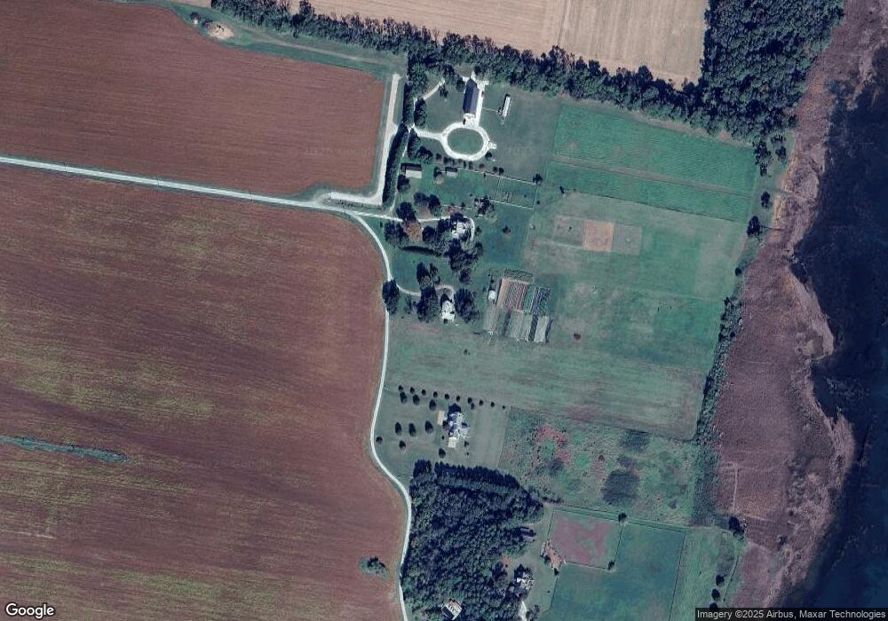
Map
Nearby Homes
- 411 Capt Orris Browne
- 22239 Seaside Rd
- 0 Briar Ct
- 22485 Briar Ct
- 3323 Tower Hill Cir
- 22170 Raymond Ln
- 22336 Woodcock Cir
- 22152 Raymond Ln Unit 132
- 25487 Lankford Hwy
- 214 Muirfield Dr
- 6541 Broadwater Cir
- 4 N Plantation Ln Unit 3,4,5
- 6526 Broadwater Cir
- 4360 Sunnyside Rd Unit A
- 3351+ Stone Rd Unit P1&P2
- Lot 10 Katherine Ln Unit 10
- 74 Creekside Ln Unit 51
- 000 Parsons Cir Unit 59B
- 199 Old Course Loop
- 3410 Tower Hill Cir
- 6071 Riverside Farm Ln
- 311 Capt Orris Browne
- 301 Capt Orris Browne Unit 110A
- 311 Capt Orris Browne Unit 106
- 302 Capt Orris Browne Unit 98
- 411 Capt Orris Browne Unit 71
- 413 Capt Orris Browne Unit 70
- 312 Capt Orris Browne Unit 103
- 308 Capt Orris Browne Unit 101
- 304 Capt Orris Browne Unit 99
- 306 Capt Orris Browne Unit 100
- 305 Capt Orris Browne Unit 109
- 305 Capt Orris Browne
- 310 Capt Orris Browne
- 6209 Riverside Farm Ln
- 6207 Riverside Farm Ln
- 6221 Riverside Farm Ln
- 6119 Riverside Farm Ln
- Lot 5 Bay Vistas Way Unit BV5
- Lot 5 Bay Vistas Way