6096 Cornell Rd Keystone Heights, FL 32656
Estimated Value: $17,670 - $39,000
Studio
--
Bath
--
Sq Ft
15,682
Sq Ft Lot
About This Home
This home is located at 6096 Cornell Rd, Keystone Heights, FL 32656 and is currently estimated at $28,557. 6096 Cornell Rd is a home located in Clay County with nearby schools including Keystone Heights Elementary School and Keystone Heights Junior/Senior High School.
Ownership History
Date
Name
Owned For
Owner Type
Purchase Details
Closed on
Apr 20, 2007
Sold by
Socratus Inc
Bought by
Cher Fl Llc
Current Estimated Value
Purchase Details
Closed on
Nov 10, 2005
Sold by
Cher Fl Llc
Bought by
Socratus Inc
Home Financials for this Owner
Home Financials are based on the most recent Mortgage that was taken out on this home.
Original Mortgage
$7,500
Interest Rate
5%
Mortgage Type
Purchase Money Mortgage
Purchase Details
Closed on
Jun 2, 2005
Sold by
Uteinger Theodore H
Bought by
Cher Fl Llc
Create a Home Valuation Report for This Property
The Home Valuation Report is an in-depth analysis detailing your home's value as well as a comparison with similar homes in the area
Home Values in the Area
Average Home Value in this Area
Purchase History
| Date | Buyer | Sale Price | Title Company |
|---|---|---|---|
| Cher Fl Llc | $7,500 | None Available | |
| Socratus Inc | $12,500 | Sunshine Title Corporation | |
| Cher Fl Llc | $4,500 | -- |
Source: Public Records
Mortgage History
| Date | Status | Borrower | Loan Amount |
|---|---|---|---|
| Previous Owner | Socratus Inc | $7,500 |
Source: Public Records
Tax History
| Year | Tax Paid | Tax Assessment Tax Assessment Total Assessment is a certain percentage of the fair market value that is determined by local assessors to be the total taxable value of land and additions on the property. | Land | Improvement |
|---|---|---|---|---|
| 2025 | $68 | $5,000 | $5,000 | -- |
| 2024 | $66 | $5,000 | $5,000 | -- |
| 2023 | $66 | $5,000 | $5,000 | $0 |
| 2022 | $53 | $3,500 | $3,500 | $0 |
| 2021 | $55 | $3,500 | $3,500 | $0 |
| 2020 | $53 | $3,500 | $3,500 | $0 |
| 2019 | $54 | $3,500 | $3,500 | $0 |
| 2018 | $51 | $3,500 | $0 | $0 |
| 2017 | $52 | $3,500 | $0 | $0 |
| 2016 | $53 | $3,500 | $0 | $0 |
| 2015 | $54 | $3,500 | $0 | $0 |
| 2014 | $54 | $3,500 | $0 | $0 |
Source: Public Records
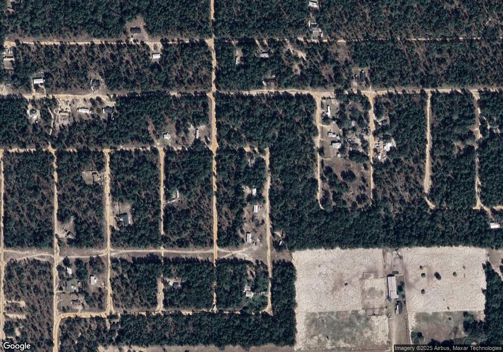
Map
Nearby Homes
- 6185 Cornell Rd
- 6151 Cornell Rd
- 00 Cornell Rd
- 7269 Citadel St
- 7248 Citadel St
- 7211 Davidson St
- 7228 Davidson St
- 7260 Davidson St
- 6099 Harvard Ave
- 6259 Emory Ave
- 6218 Emory Ave
- 00 Emory Ave
- 6115 Center Cir
- 7232 Woodstock St
- 7243 Woodstock St
- 00 Harvard Ave
- 7260 Woodstock St
- 6208 Hunter Ave
- 6160 Hunter Ave
- 7315 Yale St
- 6107 Cornell Rd
- Lot 7 & 8 Cornell Rd
- 6133 Cornell Rd
- 6185 Cornell Rd
- 7247 Cambridge St
- 7243 Oxford St
- 7447 Cambridge St
- 7244 Furman St
- 6171 Cornell Rd
- 7240 Cambridge St
- 7215 Cambridge St
- 7210 Cambridge St
- 7231 Cambridge St
- 7244 Oxford St
- 7228 Oxford St
- 7227 Cambridge St Unit H-144
- 7227 Cambridge St
- 6112 Cornell Rd
- 6131 Cornell Rd
- 7211 Citadel St
Your Personal Tour Guide
Ask me questions while you tour the home.