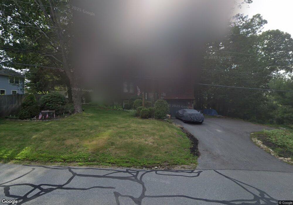
61 1/2 Conant Rd Nashua, NH 03062
Southwest Nashua NeighborhoodEstimated Value: $589,000 - $614,000
3
Beds
2
Baths
1,636
Sq Ft
$365/Sq Ft
Est. Value
About This Home
This home is located at 61 1/2 Conant Rd, Nashua, NH 03062 and is currently estimated at $597,375, approximately $365 per square foot. 61 1/2 Conant Rd is a home located in Hillsborough County with nearby schools including Main Dunstable School, Elm Street Middle School, and Nashua High School South.
Create a Home Valuation Report for This Property
The Home Valuation Report is an in-depth analysis detailing your home's value as well as a comparison with similar homes in the area
Home Values in the Area
Average Home Value in this Area
Tax History Compared to Growth
Tax History
| Year | Tax Paid | Tax Assessment Tax Assessment Total Assessment is a certain percentage of the fair market value that is determined by local assessors to be the total taxable value of land and additions on the property. | Land | Improvement |
|---|---|---|---|---|
| 2024 | $8,508 | $535,100 | $159,300 | $375,800 |
| 2023 | $8,127 | $445,800 | $127,500 | $318,300 |
| 2022 | $8,056 | $445,800 | $127,500 | $318,300 |
| 2021 | $7,050 | $303,600 | $85,000 | $218,600 |
| 2020 | $6,731 | $297,700 | $85,000 | $212,700 |
| 2019 | $6,478 | $297,700 | $85,000 | $212,700 |
| 2018 | $5,814 | $297,700 | $85,000 | $212,700 |
| 2017 | $6,043 | $234,300 | $66,100 | $168,200 |
| 2016 | $5,874 | $234,300 | $66,100 | $168,200 |
| 2015 | $5,747 | $234,300 | $66,100 | $168,200 |
| 2014 | -- | $234,300 | $66,100 | $168,200 |
Source: Public Records
Map
Nearby Homes
- 5 Wilderness Dr
- 2 Rene Dr
- 188 Harris Rd
- 15 Westray Dr
- 22 Newburgh Rd
- 25 Cortez Dr Unit U57
- 4 Henry David Dr Unit 203
- 31 Tenby Dr
- 23 Glen Dr
- 33 Cannon Dr
- 28 Nottingham Dr
- 16 Laurel Ct Unit U320
- 57 Wethersfield Rd
- 29 Greenwood Dr
- 47 Dogwood Dr Unit U202
- 13 Bramble Dr
- 12 Spring Cove Rd Unit U103
- 8 Althea Ln Unit U26
- 40 Spring Cove Rd Unit U117
- 247 Main Dunstable Rd