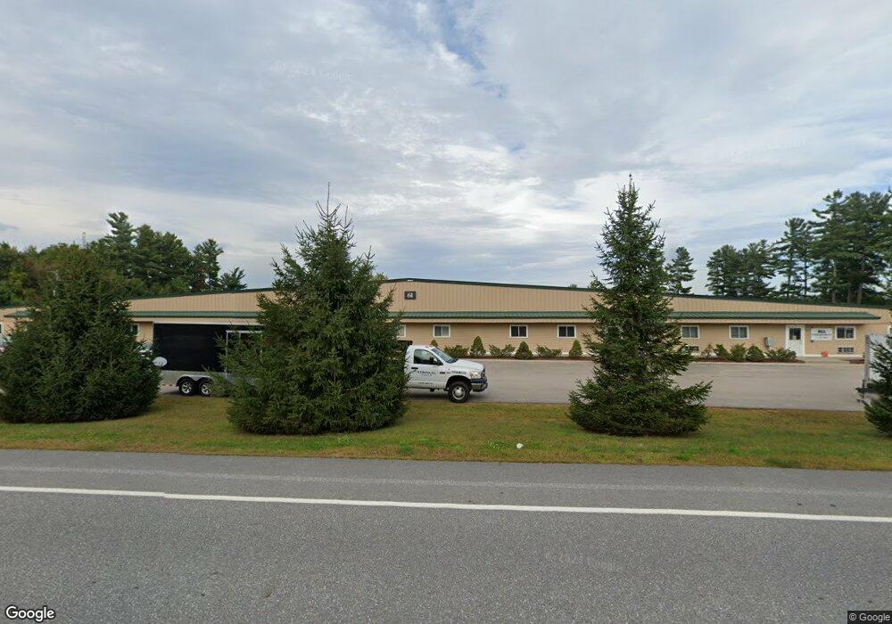
61 Airport Dr Unit 3 Rochester, NH 03867
Estimated Value: $337,240
--
Bed
--
Bath
1,600
Sq Ft
$211/Sq Ft
Est. Value
About This Home
This home is located at 61 Airport Dr Unit 3, Rochester, NH 03867 and is currently estimated at $337,240, approximately $210 per square foot. 61 Airport Dr Unit 3 is a home located in Strafford County with nearby schools including East Rochester School, Nancy Loud School, and Rochester Middle School.
Ownership History
Date
Name
Owned For
Owner Type
Purchase Details
Closed on
Dec 29, 2016
Sold by
Solid Machine Llc
Bought by
Propertie Brick and Propertie Mortar
Current Estimated Value
Purchase Details
Closed on
Nov 23, 2016
Sold by
Solid Machine Llc
Bought by
Propertie Brick and Propertie Mortar
Purchase Details
Closed on
Oct 24, 2013
Sold by
Robmar Realty Llc
Bought by
Solid Machine Llc
Create a Home Valuation Report for This Property
The Home Valuation Report is an in-depth analysis detailing your home's value as well as a comparison with similar homes in the area
Home Values in the Area
Average Home Value in this Area
Purchase History
| Date | Buyer | Sale Price | Title Company |
|---|---|---|---|
| Propertie Brick | -- | -- | |
| Propertie Brick | -- | -- | |
| Solid Machine Llc | $125,000 | -- |
Source: Public Records
Tax History Compared to Growth
Tax History
| Year | Tax Paid | Tax Assessment Tax Assessment Total Assessment is a certain percentage of the fair market value that is determined by local assessors to be the total taxable value of land and additions on the property. | Land | Improvement |
|---|---|---|---|---|
| 2024 | $2,435 | $164,000 | $0 | $164,000 |
| 2023 | $3,012 | $117,000 | $0 | $117,000 |
| 2022 | $2,958 | $117,000 | $0 | $117,000 |
| 2021 | $2,884 | $117,000 | $0 | $117,000 |
| 2020 | $2,852 | $115,900 | $0 | $115,900 |
| 2019 | $2,886 | $115,900 | $0 | $115,900 |
| 2018 | $3,027 | $110,000 | $0 | $110,000 |
| 2017 | $2,896 | $110,000 | $0 | $110,000 |
| 2016 | $3,109 | $110,000 | $0 | $110,000 |
| 2015 | $3,097 | $110,000 | $0 | $110,000 |
| 2014 | $3,022 | $110,000 | $0 | $110,000 |
| 2013 | $2,805 | $106,400 | $0 | $106,400 |
| 2012 | $2,732 | $106,400 | $0 | $106,400 |
Source: Public Records
Map
Nearby Homes
- 61 Sullivan Farm Dr
- Lot 12 Rochester Hill Rd
- Lot 12-2 Rochester Hill Rd
- 34 Shaw Dr
- 395 Route 108
- 320 Old Dover Rd
- 45 Crystal Springs Way
- 64 Goldrush Ln
- 2 Cleo Cir
- 33 Cleo Cir
- 10 Tumbleweed Dr
- 5 Bermuda Ln
- 13 Dockside Ln
- 43 Otis Rd
- 159 W High St
- 5 S Blueberry Ln
- 22 S Dewberry Ln
- 9 S Blueberry Ln
- 63 Royal Crest Park
- 5 N Fuchsia Dr
- 61 Airport Dr
- 61 Airport Dr Unit 6
- 61 Airport Dr Unit 5
- 61 Airport Dr
- 49 Innovation Dr Unit A
- 97 Airport Dr
- 290 Rochester Hill Rd
- 296 Rochester Hill Rd
- 263 Rochester Hill Rd
- 265 Rochester Hill Rd
- 271 Rochester Hill Rd
- 302 Rochester Hill Rd
- 145 Airport Dr Unit 34 & 35
- 301 Rochester Hill Rd
- 259 Rochester Hill Rd
- 287 Rochester Hill Rd
- 287 Rochester Hill Rd Unit 5
- 49 Laperle Dr
- 49 Laperle Dr Unit 4
- Lot #4 Laperle Dr