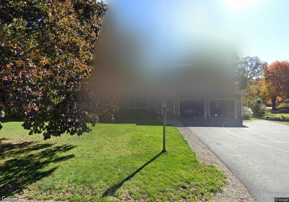
61 Arborway Dr Scituate, MA 02066
Estimated Value: $863,715 - $1,107,000
3
Beds
2
Baths
1,504
Sq Ft
$651/Sq Ft
Est. Value
About This Home
This home is located at 61 Arborway Dr, Scituate, MA 02066 and is currently estimated at $979,179, approximately $651 per square foot. 61 Arborway Dr is a home located in Plymouth County with nearby schools including Cushing Elementary School, Lester J. Gates Middle School, and Scituate High School.
Ownership History
Date
Name
Owned For
Owner Type
Purchase Details
Closed on
May 8, 2025
Sold by
Kelly Laurie A
Bought by
Laurie Ann Nason Kelly T and Laurie Kelly
Current Estimated Value
Purchase Details
Closed on
Jun 27, 2017
Sold by
Kelly G Kenneth G and Kelly Laurie N
Bought by
Kelly 3Rd George K and Kelly Laurie N
Purchase Details
Closed on
Aug 10, 2007
Sold by
Martin William A and Martin Joanne T
Bought by
Kelly G Kenneth and Kelly Laurie N
Purchase Details
Closed on
Jun 19, 1998
Sold by
Hooper Peter F and Hooper Margaret E
Bought by
Martin William A and Martin Joanne T
Create a Home Valuation Report for This Property
The Home Valuation Report is an in-depth analysis detailing your home's value as well as a comparison with similar homes in the area
Home Values in the Area
Average Home Value in this Area
Purchase History
| Date | Buyer | Sale Price | Title Company |
|---|---|---|---|
| Laurie Ann Nason Kelly T | -- | None Available | |
| Laurie Ann Nason Kelly T | -- | None Available | |
| Kelly 3Rd George K | -- | -- | |
| Kelly 3Rd George K | -- | -- | |
| Kelly G Kenneth | $414,000 | -- | |
| Kelly G Kenneth G | $414,000 | -- | |
| Martin William A | $207,000 | -- | |
| Martin William A | $207,000 | -- |
Source: Public Records
Mortgage History
| Date | Status | Borrower | Loan Amount |
|---|---|---|---|
| Previous Owner | Martin William A | $540,000 | |
| Previous Owner | Martin William A | $327,000 |
Source: Public Records
Tax History Compared to Growth
Tax History
| Year | Tax Paid | Tax Assessment Tax Assessment Total Assessment is a certain percentage of the fair market value that is determined by local assessors to be the total taxable value of land and additions on the property. | Land | Improvement |
|---|---|---|---|---|
| 2025 | $7,123 | $713,000 | $374,900 | $338,100 |
| 2024 | $6,966 | $672,400 | $340,900 | $331,500 |
| 2023 | $7,209 | $625,900 | $327,100 | $298,800 |
| 2022 | $7,209 | $571,200 | $296,000 | $275,200 |
| 2021 | $6,864 | $514,900 | $281,900 | $233,000 |
| 2020 | $6,561 | $486,000 | $271,000 | $215,000 |
| 2019 | $6,439 | $468,600 | $265,700 | $202,900 |
| 2018 | $6,166 | $442,000 | $276,800 | $165,200 |
| 2017 | $6,073 | $431,000 | $265,800 | $165,200 |
| 2016 | $5,780 | $408,800 | $243,600 | $165,200 |
| 2015 | $5,210 | $397,700 | $232,500 | $165,200 |
Source: Public Records
Map
Nearby Homes
- 14 Aberdeen Dr
- 32 Fairview Ave
- 9 Kyle Path
- 59 Captain Peirce Rd
- 11 Forest Ln
- 9 Forest Ln Unit 9
- 112 Hollett St
- 54 Woodland Rd
- 575 First Parish Rd
- 16 3 Ring Rd
- 84 Booth Hill Rd
- 8 Trudys Ln
- 22 Kings Way
- 2 Windward Ln
- 116 Old Forge Rd
- 26 Mordecai Lincoln Rd
- 378 Tilden Rd
- 115 Elm St
- 111 Elm St
- 131 Maple St