61 Birch Island Ln Georgetown, ME 04548
Georgetown NeighborhoodEstimated Value: $846,000 - $1,000,467
2
Beds
2
Baths
1,840
Sq Ft
$509/Sq Ft
Est. Value
About This Home
This home is located at 61 Birch Island Ln, Georgetown, ME 04548 and is currently estimated at $936,156, approximately $508 per square foot. 61 Birch Island Ln is a home located in Sagadahoc County.
Ownership History
Date
Name
Owned For
Owner Type
Purchase Details
Closed on
Jul 18, 2011
Sold by
Susan T Panzani Lt
Bought by
Maggied Sandy R and Aukeman Mark C
Current Estimated Value
Home Financials for this Owner
Home Financials are based on the most recent Mortgage that was taken out on this home.
Original Mortgage
$24,960
Outstanding Balance
$18,327
Interest Rate
6%
Mortgage Type
Commercial
Estimated Equity
$917,829
Purchase Details
Closed on
Apr 19, 2006
Sold by
Panzani Susan T
Bought by
Susan T Panzani Lt
Create a Home Valuation Report for This Property
The Home Valuation Report is an in-depth analysis detailing your home's value as well as a comparison with similar homes in the area
Home Values in the Area
Average Home Value in this Area
Purchase History
| Date | Buyer | Sale Price | Title Company |
|---|---|---|---|
| Maggied Sandy R | -- | -- | |
| Susan T Panzani Lt | -- | -- |
Source: Public Records
Mortgage History
| Date | Status | Borrower | Loan Amount |
|---|---|---|---|
| Open | Maggied Sandy R | $24,960 |
Source: Public Records
Tax History Compared to Growth
Tax History
| Year | Tax Paid | Tax Assessment Tax Assessment Total Assessment is a certain percentage of the fair market value that is determined by local assessors to be the total taxable value of land and additions on the property. | Land | Improvement |
|---|---|---|---|---|
| 2024 | $5,972 | $992,000 | $804,200 | $187,800 |
| 2023 | $5,090 | $522,100 | $406,200 | $115,900 |
| 2022 | $4,615 | $522,100 | $406,200 | $115,900 |
| 2021 | $4,307 | $522,100 | $406,200 | $115,900 |
| 2020 | $4,229 | $522,100 | $406,200 | $115,900 |
| 2019 | $4,100 | $525,700 | $406,200 | $119,500 |
| 2018 | $4,048 | $525,700 | $406,200 | $119,500 |
| 2017 | $4,032 | $527,100 | $406,200 | $120,900 |
| 2016 | $3,885 | $507,900 | $406,200 | $101,700 |
| 2015 | $3,748 | $507,900 | $406,200 | $101,700 |
| 2014 | $3,748 | $507,900 | $406,200 | $101,700 |
| 2013 | $3,606 | $507,900 | $406,200 | $101,700 |
Source: Public Records
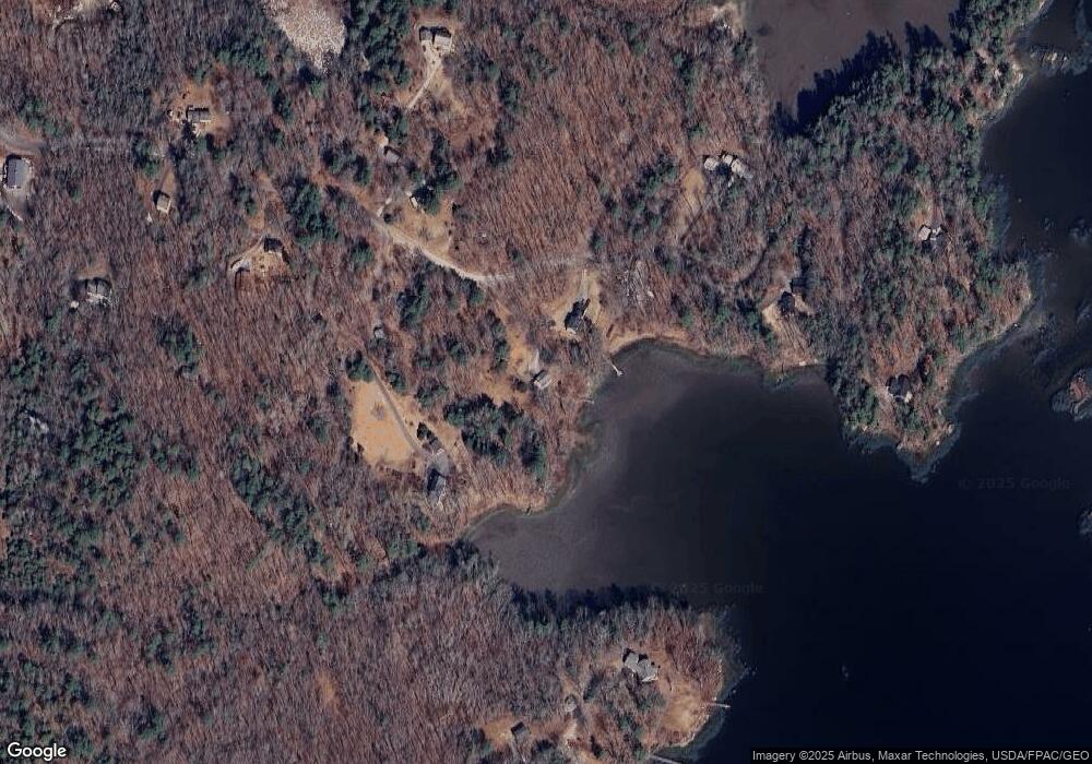
Map
Nearby Homes
- 12 Spruce Gum Ln
- 1 Plum Ln Unit D
- Lot 17A Snowman Ln
- 129 Five Islands Rd
- Lot 45-B Cove Rd
- 25 N End Rd
- 15 Blueberry Hill Rd
- 68 Narrows Way
- 17-1 Bald Head Rd
- 742 Old Stage Rd
- 15 Church Ln
- 119 Knubble Bay Rd
- 550 Main Rd
- 124 Main Rd
- 461 Hendricks Hill Rd
- 218 Sam Day Hill Rd
- 25 Echo Ln
- 0 Main Rd
- 0 Smithfield Crossing Unit 1643601
- 11 Youngs Rd
- 73 Birch Island Ln
- 5 Birch Island Ln
- 47 Birch Island Ln
- 56 Birch Island Ln
- 7 Reynolds Point Ln
- 4 Reynolds Point Ln
- 27 Cunningham Ln
- 43 Birch Island Ln
- 1 Heald Rd
- 22 Cunningham Ln
- 33 Reynolds Point Ln
- 54 Birch Island Ln
- 39 Reynolds Point Ln
- 32 Birch Island Ln
- 84 Heald Rd
- 47 Heald Rd
- 25 Birch Island Ln
- 504 Five Islands Rd
- 94 Heald Rd
- 12 Harrosa Ln