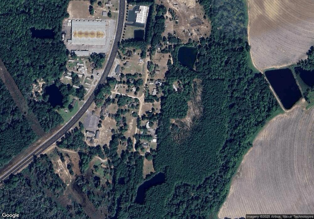
61 Bobby Rd Tifton, GA 31793
Estimated Value: $45,000 - $238,000
3
Beds
2
Baths
1,568
Sq Ft
$73/Sq Ft
Est. Value
About This Home
This home is located at 61 Bobby Rd, Tifton, GA 31793 and is currently estimated at $114,971, approximately $73 per square foot. 61 Bobby Rd is a home with nearby schools including Matt Wilson Elementary School, J.T. Reddick School, and Annie Belle Clark Primary School.
Ownership History
Date
Name
Owned For
Owner Type
Purchase Details
Closed on
Nov 25, 2024
Sold by
Carter James Ronald
Bought by
Strickland Linda Dawn
Current Estimated Value
Purchase Details
Closed on
Jul 16, 2020
Sold by
Carter Kay
Bought by
Carter Kay and Carter James R
Purchase Details
Closed on
Jul 9, 2020
Sold by
Brink Janice
Bought by
Carter Kay
Purchase Details
Closed on
Jul 8, 2020
Sold by
Brink Terry
Bought by
Carter Kay
Purchase Details
Closed on
Oct 25, 2007
Sold by
Simmons Carol R
Bought by
Brink Terry and Brink Gary
Purchase Details
Closed on
Oct 2, 1992
Sold by
Simmons Glen C and Simmons Carol R
Bought by
Simmons Glen C
Create a Home Valuation Report for This Property
The Home Valuation Report is an in-depth analysis detailing your home's value as well as a comparison with similar homes in the area
Home Values in the Area
Average Home Value in this Area
Purchase History
| Date | Buyer | Sale Price | Title Company |
|---|---|---|---|
| Strickland Linda Dawn | -- | -- | |
| Carter Kay | -- | -- | |
| Carter Kay | $5,000 | -- | |
| Carter Kay | $5,000 | -- | |
| Brink Terry | -- | -- | |
| Simmons Glen C | $18,000 | -- |
Source: Public Records
Tax History Compared to Growth
Tax History
| Year | Tax Paid | Tax Assessment Tax Assessment Total Assessment is a certain percentage of the fair market value that is determined by local assessors to be the total taxable value of land and additions on the property. | Land | Improvement |
|---|---|---|---|---|
| 2024 | $103 | $4,730 | $3,346 | $1,384 |
| 2023 | $140 | $4,734 | $2,600 | $2,134 |
| 2022 | $482 | $23,584 | $2,600 | $20,984 |
| 2021 | $141 | $4,734 | $2,600 | $2,134 |
| 2020 | $123 | $4,026 | $2,600 | $1,426 |
| 2019 | $122 | $4,026 | $2,600 | $1,426 |
| 2018 | $122 | $4,026 | $2,600 | $1,426 |
| 2017 | $123 | $4,026 | $2,600 | $1,426 |
| 2016 | $123 | $4,026 | $2,600 | $1,426 |
| 2015 | $123 | $4,026 | $2,600 | $1,426 |
| 2014 | $123 | $4,026 | $2,600 | $1,426 |
| 2013 | -- | $4,025 | $2,600 | $1,425 |
Source: Public Records
Map
Nearby Homes
- 187 Bussell Rd
- 5015 Union Rd
- 4716 Union Rd
- 0 Union Industrial Way
- 45 Surrey Cir
- 33 Surrey Cir
- 54 Jacks Way
- 27 Water's Edge Way
- 17 Waters Edge Way
- 4554 Carpenter Rd S
- 0 Jordan Rd
- 4502 Carpenter Rd S
- 0 Deer Run Cir
- 1802 Golden Rd W
- 4480 Union Rd
- 0 Union Rd
- 4104 London Ln
- 604 Golden Rd W
- 171 Ellis Bryan Rd
- 0 S Us Hwy 41 Lee Ball Rd Unit 134993
- 67 Bobby Rd
- 53 Bobby Rd
- 4467 Us Highway 319 S
- 47 Bobby Rd
- 5 Bobby Dr
- 14 Bobby Dr
- 4475 Us Highway 319 S
- 75 Bobby Rd
- 4461 Us Highway 319 S
- 4461 S Us Hwy 319
- 4457 Us Highway 319 S
- 35 Bobby Rd
- 4470 Us Highway 319 S
- 4484 U S 319
- 4484 Us Highway 319 S
- 4414 Us Highway 319 S
- 4435 Us Highway 319 S
- 4438 Us Highway 319 S
- 4501 Us Highway 319 S
- 4436 Us Highway 319 S
