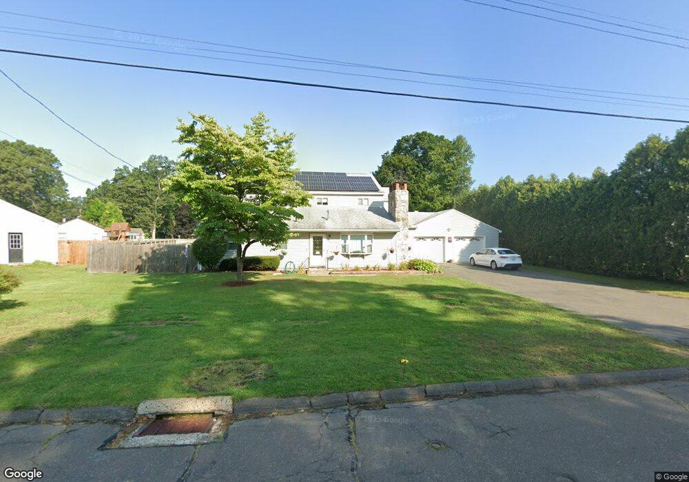
61 Bristol Rd Windsor Locks, CT 06096
Estimated Value: $455,333 - $538,000
5
Beds
4
Baths
3,245
Sq Ft
$154/Sq Ft
Est. Value
About This Home
This home is located at 61 Bristol Rd, Windsor Locks, CT 06096 and is currently estimated at $498,833, approximately $153 per square foot. 61 Bristol Rd is a home located in Hartford County with nearby schools including North Street School, South Elementary School, and Windsor Locks Middle School.
Ownership History
Date
Name
Owned For
Owner Type
Purchase Details
Closed on
Oct 20, 1994
Sold by
Boutwell Edwin
Bought by
Boutwell Melanie
Current Estimated Value
Home Financials for this Owner
Home Financials are based on the most recent Mortgage that was taken out on this home.
Original Mortgage
$105,000
Interest Rate
8%
Mortgage Type
Unknown
Create a Home Valuation Report for This Property
The Home Valuation Report is an in-depth analysis detailing your home's value as well as a comparison with similar homes in the area
Home Values in the Area
Average Home Value in this Area
Purchase History
| Date | Buyer | Sale Price | Title Company |
|---|---|---|---|
| Boutwell Melanie | $100,000 | -- |
Source: Public Records
Mortgage History
| Date | Status | Borrower | Loan Amount |
|---|---|---|---|
| Open | Boutwell Melanie | $182,700 | |
| Closed | Boutwell Melanie | $115,000 | |
| Closed | Boutwell Melanie | $120,000 | |
| Closed | Boutwell Melanie | $105,000 |
Source: Public Records
Tax History
| Year | Tax Paid | Tax Assessment Tax Assessment Total Assessment is a certain percentage of the fair market value that is determined by local assessors to be the total taxable value of land and additions on the property. | Land | Improvement |
|---|---|---|---|---|
| 2025 | $7,070 | $294,700 | $54,320 | $240,380 |
| 2024 | $5,015 | $178,220 | $41,020 | $137,200 |
| 2023 | $4,693 | $178,220 | $41,020 | $137,200 |
| 2022 | $4,603 | $178,220 | $41,020 | $137,200 |
| 2021 | $4,603 | $178,220 | $41,020 | $137,200 |
| 2020 | $4,603 | $178,220 | $41,020 | $137,200 |
| 2019 | $4,603 | $178,220 | $41,020 | $137,200 |
| 2017 | $4,140 | $155,300 | $40,600 | $114,700 |
| 2016 | $4,140 | $155,300 | $40,600 | $114,700 |
| 2015 | $4,160 | $155,300 | $40,600 | $114,700 |
| 2014 | $4,527 | $172,600 | $46,100 | $126,500 |
Source: Public Records
Map
Nearby Homes
- 34 Cornwall Dr
- 32 Walnut Cir
- 30 Jackson St
- 443 Elm St
- 404 Woodland St
- 4 Woodland Hollow St
- 548 Mulberry St
- 24 Coolidge St
- 58 Hollow Brook Rd
- 102 Orchard Hill Dr
- 94 Raymond Rd
- 1946 Poquonock Ave
- 202 Reed Ave
- 59 Elm St
- 80 West St
- 35 Hollow Brook Rd
- 124 Bel-Aire Cir
- 24 Bel-Aire Cir
- 25 High St
- 13 Quail Ct
Your Personal Tour Guide
Ask me questions while you tour the home.