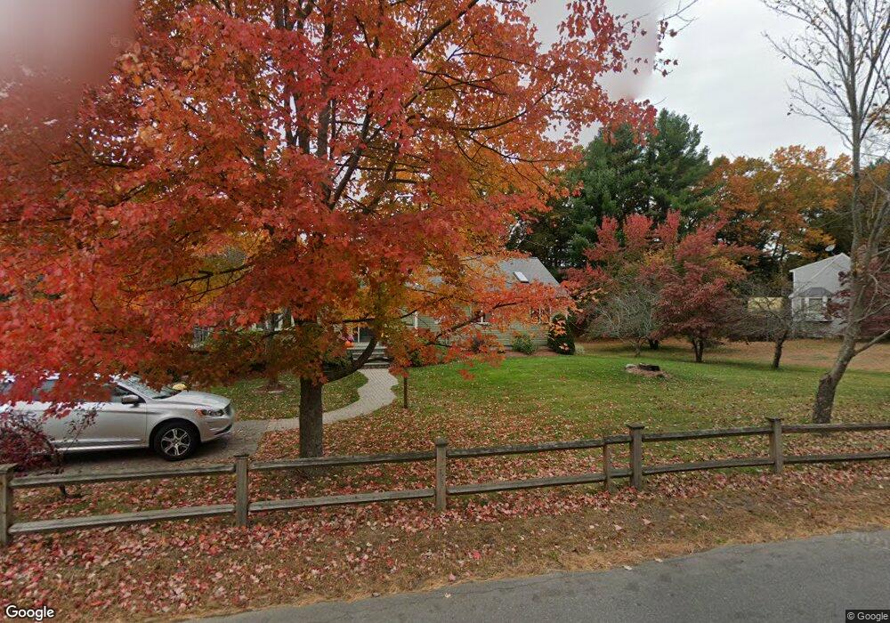
61 Brook St Hudson, MA 01749
Gospel Hill NeighborhoodEstimated Value: $759,000 - $888,000
3
Beds
2
Baths
2,154
Sq Ft
$374/Sq Ft
Est. Value
About This Home
This home is located at 61 Brook St, Hudson, MA 01749 and is currently estimated at $804,591, approximately $373 per square foot. 61 Brook St is a home located in Middlesex County with nearby schools including David J. Quinn Middle School, Hudson High School, and Darnell School For Educational & Behavioral Service.
Ownership History
Date
Name
Owned For
Owner Type
Purchase Details
Closed on
Jan 30, 2024
Sold by
Connor Thomas J and Connor Kristine E
Bought by
Ktconner Rt and Connor
Current Estimated Value
Purchase Details
Closed on
Jul 15, 1996
Sold by
Sauta Kevin J and Sauta Linda J
Bought by
Connor Thomas J and Connor Kristine E
Home Financials for this Owner
Home Financials are based on the most recent Mortgage that was taken out on this home.
Original Mortgage
$134,000
Interest Rate
7.98%
Mortgage Type
Purchase Money Mortgage
Create a Home Valuation Report for This Property
The Home Valuation Report is an in-depth analysis detailing your home's value as well as a comparison with similar homes in the area
Home Values in the Area
Average Home Value in this Area
Purchase History
| Date | Buyer | Sale Price | Title Company |
|---|---|---|---|
| Ktconner Rt | -- | None Available | |
| Ktconner Rt | -- | None Available | |
| Connor Thomas J | $167,500 | -- |
Source: Public Records
Mortgage History
| Date | Status | Borrower | Loan Amount |
|---|---|---|---|
| Previous Owner | Connor Thomas J | $134,000 | |
| Previous Owner | Connor Thomas J | $120,000 |
Source: Public Records
Tax History
| Year | Tax Paid | Tax Assessment Tax Assessment Total Assessment is a certain percentage of the fair market value that is determined by local assessors to be the total taxable value of land and additions on the property. | Land | Improvement |
|---|---|---|---|---|
| 2025 | $8,663 | $624,100 | $236,900 | $387,200 |
| 2024 | $8,285 | $591,800 | $215,400 | $376,400 |
| 2023 | $8,050 | $551,400 | $207,300 | $344,100 |
| 2022 | $7,388 | $465,800 | $188,400 | $277,400 |
| 2021 | $8,960 | $446,200 | $179,500 | $266,700 |
| 2020 | $12,645 | $442,500 | $175,800 | $266,700 |
| 2019 | $7,066 | $414,900 | $175,800 | $239,100 |
| 2018 | $12,433 | $395,900 | $167,300 | $228,600 |
| 2017 | $4,873 | $377,500 | $159,700 | $217,800 |
| 2016 | $6,453 | $373,200 | $159,700 | $213,500 |
| 2015 | $5,822 | $337,100 | $143,900 | $193,200 |
| 2014 | $5,505 | $316,000 | $125,700 | $190,300 |
Source: Public Records
Map
Nearby Homes
- 9 & 9A Abigail
- 210 Barton Rd
- 84 Crosby Rd
- 7 Old North Rd
- 1 Glendale Rd
- 168 Blanchette Dr
- 1 Town Line Rd
- 1 Town Line Rd Unit 18
- 8 Town Line Rd Unit 4
- 10 Old County Rd Unit 19
- 14 Old County Rd Unit 21
- 3 Shore Line Dr Unit 15
- 5 Shore Line Rd
- 304 Cox St
- 8 Shoreline Dr Unit 11
- 51 Hale Rd
- 786 Main St
- 788 Main St
- 34 Hallock Point Rd
- 425 Main St Unit 7C
- 59 Brook St
- 63 Brook St
- 54 Brook St
- 73 Brook St
- 31 Brook St
- 131 Murphy Rd
- 44 Brook St
- 22 Barnes Blvd Unit 37
- 174 Chestnut St
- 25 Brook St
- 30 Barnes Blvd Unit 29
- 0 Chestnut St L:2 Unit 72991392
- 0 Chestnut St Unit 72922277
- 0 Chestnut St L:2 Unit 72797889
- 541 Main St
- 172 Chestnut St
- 543 Main St
- 34 Barnes Blvd Unit 25
- 545A Main St
- 545 Main St Unit A
Your Personal Tour Guide
Ask me questions while you tour the home.