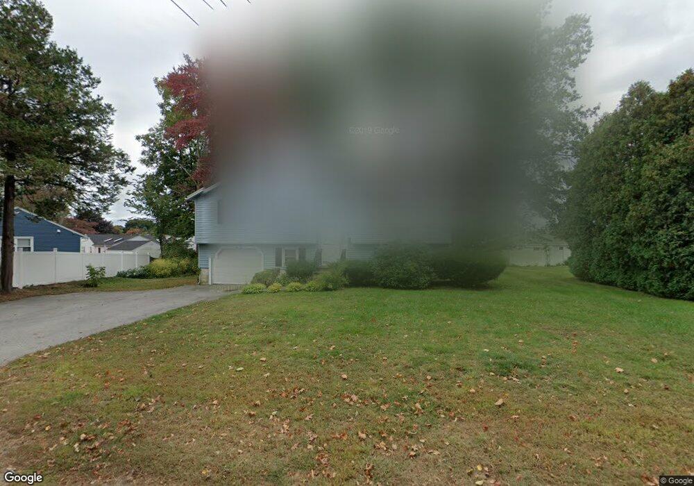
61 East St Methuen, MA 01844
The East End NeighborhoodEstimated Value: $569,000 - $630,000
3
Beds
1
Bath
1,688
Sq Ft
$350/Sq Ft
Est. Value
About This Home
This home is located at 61 East St, Methuen, MA 01844 and is currently estimated at $590,404, approximately $349 per square foot. 61 East St is a home located in Essex County with nearby schools including Timony Grammar School, South Point Elementary School, and Methuen High School.
Ownership History
Date
Name
Owned For
Owner Type
Purchase Details
Closed on
Mar 7, 2007
Sold by
Ovoain Margaret S and Ovoian Michael J
Bought by
Ovoian Michael J
Current Estimated Value
Purchase Details
Closed on
Aug 7, 1987
Sold by
Finelli Rose
Bought by
Ovoian Marsis
Home Financials for this Owner
Home Financials are based on the most recent Mortgage that was taken out on this home.
Original Mortgage
$99,900
Interest Rate
10.37%
Mortgage Type
Purchase Money Mortgage
Create a Home Valuation Report for This Property
The Home Valuation Report is an in-depth analysis detailing your home's value as well as a comparison with similar homes in the area
Home Values in the Area
Average Home Value in this Area
Purchase History
| Date | Buyer | Sale Price | Title Company |
|---|---|---|---|
| Ovoian Michael J | -- | -- | |
| Ovoian Michael J | -- | -- | |
| Ovoian Marsis | $149,900 | -- |
Source: Public Records
Mortgage History
| Date | Status | Borrower | Loan Amount |
|---|---|---|---|
| Previous Owner | Ovoian Marsis | $89,500 | |
| Previous Owner | Ovoian Marsis | $86,000 | |
| Previous Owner | Ovoian Marsis | $99,900 |
Source: Public Records
Tax History Compared to Growth
Tax History
| Year | Tax Paid | Tax Assessment Tax Assessment Total Assessment is a certain percentage of the fair market value that is determined by local assessors to be the total taxable value of land and additions on the property. | Land | Improvement |
|---|---|---|---|---|
| 2025 | $5,085 | $480,600 | $205,300 | $275,300 |
| 2024 | $4,960 | $456,700 | $171,100 | $285,600 |
| 2023 | $4,900 | $418,800 | $171,100 | $247,700 |
| 2022 | $4,660 | $357,100 | $140,000 | $217,100 |
| 2021 | $4,405 | $334,000 | $132,200 | $201,800 |
| 2020 | $4,367 | $324,900 | $132,200 | $192,700 |
| 2019 | $4,298 | $302,900 | $124,400 | $178,500 |
| 2018 | $4,031 | $282,500 | $116,700 | $165,800 |
| 2017 | $3,859 | $263,400 | $116,700 | $146,700 |
| 2016 | $3,577 | $241,500 | $101,100 | $140,400 |
| 2015 | $3,479 | $238,300 | $101,100 | $137,200 |
Source: Public Records
Map
Nearby Homes
- 83 Oakside Ave
- 87 Oakside Ave
- 82 Oakside Ave
- 48 Larchwood Rd
- 18 Larchwood Rd
- 5 Arlington Terrace
- 183 Berkeley St
- 2 Lawrence St
- 364 Lawrence St
- 7 Magnolia Rd
- 169 Berkeley St
- 6 Longwood Dr
- 129-131 Lexington St
- 100-102 Phillips St
- 35 Hardy St
- 434-438 Hampshire St
- 2 Horne St
- 69 Broadway
- 20 Knox St Unit 43
- 20 Knox St Unit 23
- 65 East St
- 97 Elmwood Rd
- 104 Birchwood Rd
- 59 East St
- 90 Elmwood Rd
- 102 Birchwood Rd
- 71 East St
- 93 Elmwood Rd Unit 95
- 98 Birchwood Rd Unit 100
- 97 Kenwood Rd
- 89 Elmwood Rd Unit 91
- 86 Elmwood Rd
- 93 Kenwood Rd
- 90 Birchwood Rd Unit 92
- 105 Birchwood Rd
- 107 Birchwood Rd
- 101 Birchwood Rd
- 101 Birchwood Rd Unit 1
- 89-91 Kenwood Rd
- 89 Kenwood Rd Unit 91