61 Eber Taft Rd Uxbridge, MA 01569
Estimated Value: $685,000 - $758,000
3
Beds
3
Baths
2,432
Sq Ft
$298/Sq Ft
Est. Value
About This Home
This home is located at 61 Eber Taft Rd, Uxbridge, MA 01569 and is currently estimated at $724,701, approximately $297 per square foot. 61 Eber Taft Rd is a home located in Worcester County with nearby schools including Uxbridge High School and Our Lady of the Valley Regional School.
Ownership History
Date
Name
Owned For
Owner Type
Purchase Details
Closed on
Mar 14, 2007
Sold by
Rodman David K
Bought by
Deary Heather M and Deary Justin P
Current Estimated Value
Home Financials for this Owner
Home Financials are based on the most recent Mortgage that was taken out on this home.
Original Mortgage
$300,000
Interest Rate
6.4%
Mortgage Type
Purchase Money Mortgage
Purchase Details
Closed on
Jun 18, 2001
Sold by
Kennedy Matthew S
Bought by
Rodman David K
Home Financials for this Owner
Home Financials are based on the most recent Mortgage that was taken out on this home.
Original Mortgage
$240,000
Interest Rate
7.15%
Mortgage Type
Purchase Money Mortgage
Create a Home Valuation Report for This Property
The Home Valuation Report is an in-depth analysis detailing your home's value as well as a comparison with similar homes in the area
Home Values in the Area
Average Home Value in this Area
Purchase History
| Date | Buyer | Sale Price | Title Company |
|---|---|---|---|
| Deary Heather M | $375,000 | -- | |
| Rodman David K | $314,000 | -- |
Source: Public Records
Mortgage History
| Date | Status | Borrower | Loan Amount |
|---|---|---|---|
| Open | Rodman David K | $289,220 | |
| Closed | Deary Heather M | $300,000 | |
| Previous Owner | Rodman David K | $30,000 | |
| Previous Owner | Rodman David K | $248,000 | |
| Previous Owner | Rodman David K | $240,000 |
Source: Public Records
Tax History
| Year | Tax Paid | Tax Assessment Tax Assessment Total Assessment is a certain percentage of the fair market value that is determined by local assessors to be the total taxable value of land and additions on the property. | Land | Improvement |
|---|---|---|---|---|
| 2025 | $82 | $626,900 | $172,200 | $454,700 |
| 2024 | $7,513 | $581,500 | $163,500 | $418,000 |
| 2023 | $7,130 | $511,100 | $141,200 | $369,900 |
| 2022 | $7,116 | $469,400 | $123,800 | $345,600 |
| 2021 | $7,043 | $445,200 | $123,800 | $321,400 |
| 2020 | $7,593 | $453,600 | $132,500 | $321,100 |
| 2019 | $7,323 | $422,100 | $145,500 | $276,600 |
| 2018 | $7,163 | $417,200 | $145,500 | $271,700 |
| 2017 | $6,687 | $394,300 | $131,000 | $263,300 |
| 2016 | $6,916 | $393,600 | $104,400 | $289,200 |
| 2015 | $6,770 | $389,100 | $104,400 | $284,700 |
Source: Public Records
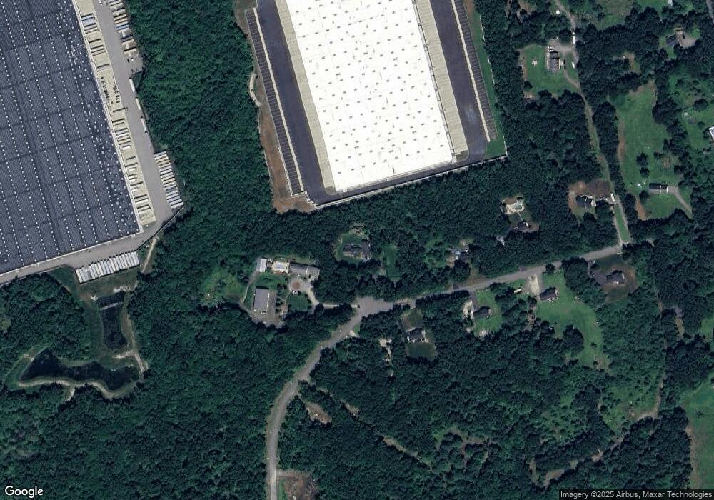
Map
Nearby Homes
- 395 High St
- 405 West St
- 11 Summerfield Dr Unit 11
- 61 Spring Hill Dr Unit 61
- 145 Mantell Rd
- 169 Mantell Rd
- 137 Mantell Rd
- 127 Turner Farm Rd
- 114 Turner Farm Rd
- 139 Turner Farm Rd
- 376 Douglas St
- 197 Crownshield Ave Unit 16B
- 197 Crownshield Ave Unit 16A
- 197 Crownshield Ave Unit 16C
- 126 Turner Farm Rd
- 136 Turner Farm Rd
- 145 Turner Farm Rd
- 47 Turner Farm Rd
- 46 Turner Farm Rd
- 45 Turner Farm Rd
- 51 Eber Taft Rd
- 60 Eber Taft Rd
- 81 Eber Taft Rd
- 120 Eber Taft Rd
- 50 Eber Taft Rd
- 41 Eber Taft Rd
- Lot0000000 Eber Taft
- 31 Eber Taft Rd
- 30 Eber Taft Rd
- 25 Eber Taft Rd
- 21 Eber Taft Rd
- 163 Pond St
- 111 Pond St
- 125 Pond St
- 135 Pond St
- 10 Eber Taft Rd
- 5 Eber Taft Rd
- 155 Pond St
- lot A West St
- 3 Eber Taft Rd
Your Personal Tour Guide
Ask me questions while you tour the home.