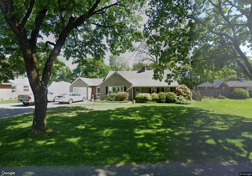
61 Emerson Rd Agawam, MA 01001
Estimated Value: $429,000 - $484,000
3
Beds
3
Baths
2,136
Sq Ft
$213/Sq Ft
Est. Value
About This Home
This home is located at 61 Emerson Rd, Agawam, MA 01001 and is currently estimated at $455,427, approximately $213 per square foot. 61 Emerson Rd is a home located in Hampden County with nearby schools including Agawam Junior High School, Agawam High School, and St Thomas The Apostle School.
Ownership History
Date
Name
Owned For
Owner Type
Purchase Details
Closed on
Sep 20, 2022
Sold by
Barker Scott E
Bought by
Chapin-Barker Brett
Current Estimated Value
Purchase Details
Closed on
Aug 27, 1984
Bought by
Barker Scott E and Barker Marcia A
Create a Home Valuation Report for This Property
The Home Valuation Report is an in-depth analysis detailing your home's value as well as a comparison with similar homes in the area
Home Values in the Area
Average Home Value in this Area
Purchase History
| Date | Buyer | Sale Price | Title Company |
|---|---|---|---|
| Chapin-Barker Brett | -- | None Available | |
| Barker Scott E | -- | None Available | |
| Barker Scott E | -- | -- |
Source: Public Records
Mortgage History
| Date | Status | Borrower | Loan Amount |
|---|---|---|---|
| Previous Owner | Barker Scott E | $15,000 | |
| Previous Owner | Barker Scott E | $93,700 | |
| Previous Owner | Barker Scott E | $80,000 |
Source: Public Records
Tax History Compared to Growth
Tax History
| Year | Tax Paid | Tax Assessment Tax Assessment Total Assessment is a certain percentage of the fair market value that is determined by local assessors to be the total taxable value of land and additions on the property. | Land | Improvement |
|---|---|---|---|---|
| 2025 | $5,566 | $380,200 | $108,300 | $271,900 |
| 2024 | $5,320 | $365,900 | $108,300 | $257,600 |
| 2023 | $4,938 | $312,900 | $93,700 | $219,200 |
| 2022 | $4,701 | $291,800 | $93,700 | $198,100 |
| 2021 | $4,330 | $255,200 | $80,600 | $174,600 |
| 2020 | $4,165 | $247,500 | $79,400 | $168,100 |
| 2019 | $4,036 | $242,400 | $77,800 | $164,600 |
| 2018 | $3,844 | $231,400 | $77,800 | $153,600 |
| 2017 | $3,655 | $224,100 | $77,800 | $146,300 |
| 2016 | $3,611 | $223,200 | $77,800 | $145,400 |
| 2015 | $3,417 | $217,100 | $77,800 | $139,300 |
Source: Public Records
Map
Nearby Homes
- 869-871 Main St
- 4H Mapleviewlane Unit 4H
- 0 Silver St
- 15 Bailey St
- 4 H Castle Hills Rd Unit H
- 15 B Castle Hills Rd Unit B
- 1 Castle Hill Rd Unit D
- 25 Castle Hill Rd Unit E
- 52 Peros Dr
- 20 Castle Hill Rd Unit D
- 64 Woodside Dr
- 209 Pineview Cir
- 144 Mallard Cir
- 111 Cottonwood Ln
- 6 Mansion Woods Dr Unit A
- 49 Hearthstone Dr
- 73 Silver Lake Dr
- 95 Meadowbrook Rd
- 135 Corey Colonial
- 25 Clifton Dr