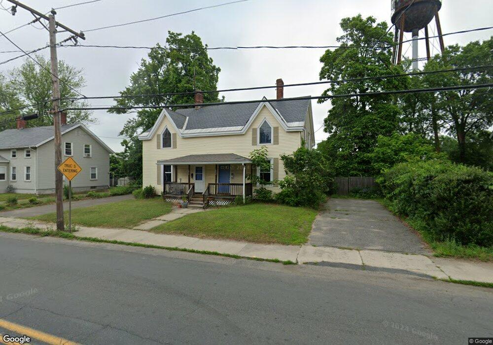
61 Ferry St Unit 63 Easthampton, MA 01027
Estimated Value: $374,420 - $450,000
6
Beds
5
Baths
2,304
Sq Ft
$173/Sq Ft
Est. Value
About This Home
This home is located at 61 Ferry St Unit 63, Easthampton, MA 01027 and is currently estimated at $398,355, approximately $172 per square foot. 61 Ferry St Unit 63 is a home located in Hampshire County with nearby schools including Easthampton High School, Hilltown Cooperative Charter Public School, and Tri-County Schools.
Ownership History
Date
Name
Owned For
Owner Type
Purchase Details
Closed on
Dec 12, 2005
Sold by
Hockman Diane L and Laprade Diane L
Bought by
Harrison Amanda J and Harrison Nathan D
Current Estimated Value
Home Financials for this Owner
Home Financials are based on the most recent Mortgage that was taken out on this home.
Original Mortgage
$159,600
Outstanding Balance
$88,660
Interest Rate
6.17%
Mortgage Type
Purchase Money Mortgage
Estimated Equity
$309,695
Create a Home Valuation Report for This Property
The Home Valuation Report is an in-depth analysis detailing your home's value as well as a comparison with similar homes in the area
Home Values in the Area
Average Home Value in this Area
Purchase History
| Date | Buyer | Sale Price | Title Company |
|---|---|---|---|
| Harrison Amanda J | $199,500 | -- |
Source: Public Records
Mortgage History
| Date | Status | Borrower | Loan Amount |
|---|---|---|---|
| Open | Harrison Amanda J | $159,600 |
Source: Public Records
Tax History
| Year | Tax Paid | Tax Assessment Tax Assessment Total Assessment is a certain percentage of the fair market value that is determined by local assessors to be the total taxable value of land and additions on the property. | Land | Improvement |
|---|---|---|---|---|
| 2025 | $4,776 | $349,400 | $84,500 | $264,900 |
| 2024 | $4,601 | $339,300 | $82,000 | $257,300 |
| 2023 | $3,443 | $235,000 | $64,700 | $170,300 |
| 2022 | $3,885 | $235,000 | $64,700 | $170,300 |
| 2021 | $4,490 | $233,100 | $64,700 | $168,400 |
| 2020 | $4,174 | $235,000 | $64,700 | $170,300 |
| 2019 | $3,049 | $197,200 | $64,700 | $132,500 |
| 2018 | $2,976 | $186,000 | $61,100 | $124,900 |
| 2017 | $2,915 | $179,800 | $58,700 | $121,100 |
| 2016 | $2,892 | $185,500 | $58,700 | $126,800 |
| 2015 | $2,810 | $185,500 | $58,700 | $126,800 |
Source: Public Records
Map
Nearby Homes
- 29 Parsons St Unit 1
- 18-20 Oakdale Place
- 10 Glen Cove Place Unit A
- 12 Glen Cove Place Unit B
- 33 Knipfer Ave
- 2 Oak St
- 40 Clark St
- 7 Union Ct
- 19 Nicols Way Unit 19
- 4 Gaugh St
- 11 Dragon Cir
- 296 Old Wilson Rd
- 6 Wilton Rd
- M143 &152 Glendale St
- 967 Florence Rd
- 385 Main St
- 131 West St Unit 131
- 41 South St Unit 11
- 336 Main St
- 6 S St & Abutting Lots
- 67 Ferry St Unit LARGE DUPLEX -3 BEDR
- 65 Ferry St Unit 67
- 57 Ferry St Unit 59
- 62 Ferry St Unit 66
- 53 Ferry St Unit 55
- 56 Ferry St Unit 2
- 54 Ferry St Unit 60
- 69 Ferry St Unit 14
- 69 Ferry St Unit 16
- 69 Ferry St Unit 19
- 69 Ferry St Unit 18
- 69 Ferry St Unit 20
- 69 Ferry St Unit 17
- 69 Ferry St Unit 12
- 69 Ferry St Unit 11
- 69 Ferry St Unit 10
- 69 Ferry St Unit 9
- 69 Ferry St Unit 8
- 69 Ferry St Unit 7
- 69 Ferry St Unit 6
Your Personal Tour Guide
Ask me questions while you tour the home.