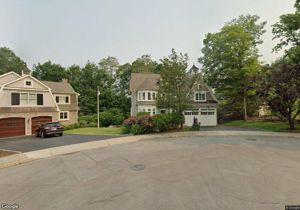
61 Guydan Ln Fairfield, CT 06824
University NeighborhoodEstimated Value: $1,470,435 - $1,947,000
4
Beds
4
Baths
3,202
Sq Ft
$546/Sq Ft
Est. Value
About This Home
This home is located at 61 Guydan Ln, Fairfield, CT 06824 and is currently estimated at $1,748,359, approximately $546 per square foot. 61 Guydan Ln is a home located in Fairfield County with nearby schools including Osborn Hill Elementary School, Fairfield Woods Middle School, and Fairfield Ludlowe High School.
Ownership History
Date
Name
Owned For
Owner Type
Purchase Details
Closed on
Aug 15, 2011
Sold by
Kampel Michelle
Bought by
Deng Bojuan
Current Estimated Value
Home Financials for this Owner
Home Financials are based on the most recent Mortgage that was taken out on this home.
Original Mortgage
$800,000
Interest Rate
4.51%
Mortgage Type
Purchase Money Mortgage
Create a Home Valuation Report for This Property
The Home Valuation Report is an in-depth analysis detailing your home's value as well as a comparison with similar homes in the area
Home Values in the Area
Average Home Value in this Area
Purchase History
| Date | Buyer | Sale Price | Title Company |
|---|---|---|---|
| Deng Bojuan | $1,025,000 | -- | |
| Deng Bojuan | $1,025,000 | -- |
Source: Public Records
Mortgage History
| Date | Status | Borrower | Loan Amount |
|---|---|---|---|
| Open | Deng Bojuan | $300,000 | |
| Open | Deng Bojuan | $700,000 | |
| Closed | Deng Bojuan | $800,000 |
Source: Public Records
Tax History
| Year | Tax Paid | Tax Assessment Tax Assessment Total Assessment is a certain percentage of the fair market value that is determined by local assessors to be the total taxable value of land and additions on the property. | Land | Improvement |
|---|---|---|---|---|
| 2025 | $16,228 | $571,620 | $237,230 | $334,390 |
| 2024 | $15,948 | $571,620 | $237,230 | $334,390 |
| 2023 | $15,725 | $571,620 | $237,230 | $334,390 |
| 2022 | $15,571 | $571,620 | $237,230 | $334,390 |
| 2021 | $15,422 | $571,620 | $237,230 | $334,390 |
| 2020 | $16,683 | $622,720 | $194,810 | $427,910 |
| 2019 | $16,683 | $622,720 | $194,810 | $427,910 |
| 2018 | $16,415 | $622,720 | $194,810 | $427,910 |
| 2017 | $16,079 | $622,720 | $194,810 | $427,910 |
| 2016 | $15,848 | $622,720 | $194,810 | $427,910 |
| 2015 | $15,418 | $621,950 | $205,800 | $416,150 |
| 2014 | $15,176 | $621,950 | $205,800 | $416,150 |
Source: Public Records
Map
Nearby Homes
- 210 Pansy Rd
- 106 Stillson Rd
- 706 Judd St
- 164 Farist Rd
- 288 Melody Ln
- 115 Mayfair Rd
- 109 Katona Dr Unit 18
- 217 Fairland Dr
- 12 Sugar Plum Ln
- 245 Reid St
- 359 Reid St
- 218 Lower Farm Rd
- 204 Glen Ridge Rd
- 41 Pepperbush Ln
- 196 Robin Ln
- 774 Fairfield Woods Rd
- 42 Robin Cir
- 1 Garden Dr
- 148 Millspaugh Dr
- 100 Tuller Rd
- 55 Guydan Ln
- 271 Samp Mortar Dr
- 233 Samp Mortar Dr
- 43 Guydan Ln
- 60 Guydan Ln
- 45 Abbey Rd
- 217 Samp Mortar Dr
- 21 Guydan Ln
- 41 Abbey Rd
- 152 Brookside Dr
- 10 Guydan Ln
- 122 Brookside Dr
- 270 Samp Mortar Dr
- 244 Samp Mortar Dr
- 98 Brookside Dr
- 203 Samp Mortar Dr
- 31 Abbey Rd
- 10 Abbey Rd
- 222 Samp Mortar Dr
- 7 Guydan Ln
Your Personal Tour Guide
Ask me questions while you tour the home.