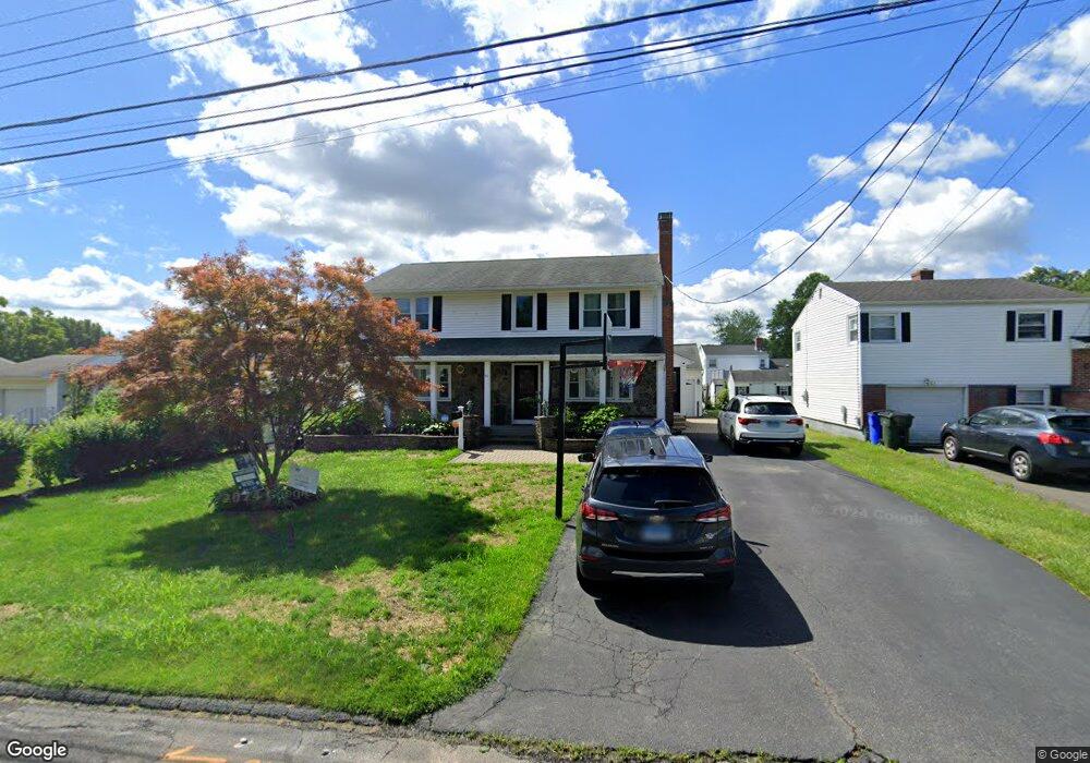
61 Harding St Wethersfield, CT 06109
Estimated Value: $426,000 - $564,000
4
Beds
3
Baths
2,832
Sq Ft
$183/Sq Ft
Est. Value
About This Home
This home is located at 61 Harding St, Wethersfield, CT 06109 and is currently estimated at $518,847, approximately $183 per square foot. 61 Harding St is a home located in Hartford County with nearby schools including Emerson-Williams School, Silas Deane Middle School, and Wethersfield High School.
Ownership History
Date
Name
Owned For
Owner Type
Purchase Details
Closed on
Mar 9, 2010
Sold by
Jay Parikh Inc
Bought by
Bristol City Of
Current Estimated Value
Purchase Details
Closed on
Jun 11, 2008
Sold by
Mangal Rampersaud and Mangal Sabitri
Bought by
Khan Hafeez and Mangal Danieta
Home Financials for this Owner
Home Financials are based on the most recent Mortgage that was taken out on this home.
Original Mortgage
$210,000
Interest Rate
6.13%
Create a Home Valuation Report for This Property
The Home Valuation Report is an in-depth analysis detailing your home's value as well as a comparison with similar homes in the area
Home Values in the Area
Average Home Value in this Area
Purchase History
| Date | Buyer | Sale Price | Title Company |
|---|---|---|---|
| Bristol City Of | -- | -- | |
| Khan Hafeez | $350,000 | -- |
Source: Public Records
Mortgage History
| Date | Status | Borrower | Loan Amount |
|---|---|---|---|
| Open | Khan Hafeez | $100,000 | |
| Previous Owner | Khan Hafeez | $213,000 | |
| Previous Owner | Khan Hafeez | $210,000 |
Source: Public Records
Tax History
| Year | Tax Paid | Tax Assessment Tax Assessment Total Assessment is a certain percentage of the fair market value that is determined by local assessors to be the total taxable value of land and additions on the property. | Land | Improvement |
|---|---|---|---|---|
| 2025 | $12,720 | $308,590 | $69,260 | $239,330 |
| 2024 | $9,974 | $230,780 | $72,100 | $158,680 |
| 2023 | $9,642 | $230,780 | $72,100 | $158,680 |
| 2022 | $9,480 | $230,780 | $72,100 | $158,680 |
| 2021 | $9,386 | $230,780 | $72,100 | $158,680 |
| 2020 | $9,390 | $230,780 | $72,090 | $158,690 |
| 2019 | $9,402 | $230,780 | $72,090 | $158,690 |
| 2018 | $8,564 | $210,000 | $68,400 | $141,600 |
| 2017 | $8,352 | $210,000 | $68,400 | $141,600 |
| 2016 | $8,093 | $210,000 | $68,400 | $141,600 |
| 2015 | $8,020 | $210,000 | $68,400 | $141,600 |
| 2014 | $7,715 | $210,000 | $68,400 | $141,600 |
Source: Public Records
Map
Nearby Homes
- 295 Ridge Rd Unit 8
- 55 Rutledge Rd
- 1 Bristol St
- 144 Brown St
- 19 Albert Ave
- 1 Brussels Ave
- 173 Timber Trail
- 273 Forest Dr
- 20 Forest Dr
- 63 Wells Farm Dr
- 129 Goff Rd
- 192 Wolcott Hill Rd
- 219-221 Jordan Ln
- 764 Ridge Rd
- 62 Schoolhouse Crossing
- 15 Potter Crossing
- 25 Tinsmith Crossing
- 208 Mountain St
- 23 Hillcrest Ave
- 158 Dix Rd
Your Personal Tour Guide
Ask me questions while you tour the home.