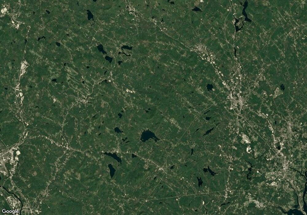
61 Joalco Rd Strafford, NH 03884
Estimated Value: $616,000 - $828,000
3
Beds
3
Baths
2,893
Sq Ft
$247/Sq Ft
Est. Value
About This Home
This home is located at 61 Joalco Rd, Strafford, NH 03884 and is currently estimated at $713,443, approximately $246 per square foot. 61 Joalco Rd is a home located in Strafford County with nearby schools including Strafford School and Coe-Brown Northwood Academy.
Ownership History
Date
Name
Owned For
Owner Type
Purchase Details
Closed on
Mar 28, 2008
Sold by
Gatchell John and Gatchell Kimberly
Bought by
Miller Todd and Miller Michelle
Current Estimated Value
Home Financials for this Owner
Home Financials are based on the most recent Mortgage that was taken out on this home.
Original Mortgage
$316,984
Interest Rate
5.76%
Create a Home Valuation Report for This Property
The Home Valuation Report is an in-depth analysis detailing your home's value as well as a comparison with similar homes in the area
Home Values in the Area
Average Home Value in this Area
Purchase History
| Date | Buyer | Sale Price | Title Company |
|---|---|---|---|
| Miller Todd | $322,000 | -- |
Source: Public Records
Mortgage History
| Date | Status | Borrower | Loan Amount |
|---|---|---|---|
| Open | Miller Todd | $299,344 | |
| Closed | Miller Todd | $316,984 |
Source: Public Records
Tax History Compared to Growth
Tax History
| Year | Tax Paid | Tax Assessment Tax Assessment Total Assessment is a certain percentage of the fair market value that is determined by local assessors to be the total taxable value of land and additions on the property. | Land | Improvement |
|---|---|---|---|---|
| 2024 | $8,513 | $430,800 | $68,700 | $362,100 |
| 2023 | $7,987 | $428,500 | $68,700 | $359,800 |
| 2022 | $7,340 | $428,500 | $68,700 | $359,800 |
| 2021 | $7,910 | $428,500 | $68,700 | $359,800 |
| 2020 | $8,100 | $315,800 | $63,900 | $251,900 |
| 2019 | $62,979 | $312,100 | $63,900 | $248,200 |
| 2018 | $41,910 | $312,100 | $63,900 | $248,200 |
| 2016 | $6,632 | $312,100 | $63,900 | $248,200 |
| 2015 | $6,997 | $320,800 | $77,800 | $243,000 |
| 2014 | $7,430 | $320,800 | $77,800 | $243,000 |
| 2013 | $7,244 | $319,400 | $77,800 | $241,600 |
| 2012 | $7,148 | $319,400 | $77,800 | $241,600 |
Source: Public Records
Map
Nearby Homes
- 1760 Province Rd
- Map 102 Lot 9 Kramas Ln
- 133 & 137 Browns Pasture Rd
- 152 Evans Rd
- 21 Quimby Dr
- 20 Quimby Dr
- Map 3 Lot 18-2b and 18-2c Water St
- Map 219 Lot 6-8 Ridge Rd
- R11 07 Clough Rd
- 11 Drake Hill Rd
- 8 Bow Lake Rd
- 955 Catamount Rd
- 0 1st New Hampshire Turnpike Unit 5026030
- 0 1st New Hampshire Turnpike Unit 5013320
- 150A 1st New Hampshire Turnpike
- 17 Brook Circle Rd
- 64 Kelsey Mill Rd
- 152 Olde Canterbury Rd
- M37 L40 Beaver Rd
- 19 Brook Cir
- 67 Joalco Rd
- 49 Jo Al Co Rd
- 83 Joalco Rd
- 83 Jo Al Co Rd
- 35 Joalco Rd
- 85 Joalco Rd
- 95 Joalco Rd
- 95 Jo Al County Rd
- 25 Joalco Rd
- off Jo Al Co Rd Unit Map 1 Lot 35
- 11 Joalco Rd
- 11 Jo Al Co Rd
- 109 Joalco Rd
- 109 Jo Al Co Rd
- 1232 Province Rd
- 1196 Province Rd
- 119 Joalco Rd
- 1268 Province Rd
- 5 Joalco Rd
- 1244 Province Rd
