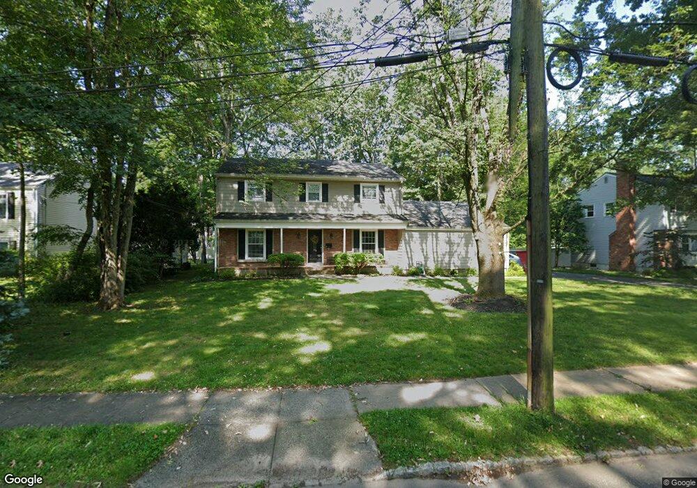
61 Jones Dr New Providence, NJ 07974
Estimated Value: $966,828 - $1,136,000
--
Bed
--
Bath
2,327
Sq Ft
$441/Sq Ft
Est. Value
About This Home
This home is located at 61 Jones Dr, New Providence, NJ 07974 and is currently estimated at $1,025,457, approximately $440 per square foot. 61 Jones Dr is a home located in Union County with nearby schools including New Providence High School and The Academy of Our Lady of Peace.
Ownership History
Date
Name
Owned For
Owner Type
Purchase Details
Closed on
Jan 24, 2003
Sold by
Miller Laird
Bought by
Mansfield Robert and Mansfield Barbara
Current Estimated Value
Home Financials for this Owner
Home Financials are based on the most recent Mortgage that was taken out on this home.
Original Mortgage
$210,000
Outstanding Balance
$89,392
Interest Rate
5.99%
Estimated Equity
$936,065
Create a Home Valuation Report for This Property
The Home Valuation Report is an in-depth analysis detailing your home's value as well as a comparison with similar homes in the area
Home Values in the Area
Average Home Value in this Area
Purchase History
| Date | Buyer | Sale Price | Title Company |
|---|---|---|---|
| Mansfield Robert | $555,000 | -- |
Source: Public Records
Mortgage History
| Date | Status | Borrower | Loan Amount |
|---|---|---|---|
| Open | Mansfield Robert | $210,000 |
Source: Public Records
Tax History Compared to Growth
Tax History
| Year | Tax Paid | Tax Assessment Tax Assessment Total Assessment is a certain percentage of the fair market value that is determined by local assessors to be the total taxable value of land and additions on the property. | Land | Improvement |
|---|---|---|---|---|
| 2025 | $18,356 | $355,600 | $141,200 | $214,400 |
| 2024 | $17,805 | $355,600 | $141,200 | $214,400 |
| 2023 | $17,805 | $355,600 | $141,200 | $214,400 |
| 2022 | $17,560 | $355,600 | $141,200 | $214,400 |
| 2021 | $17,432 | $355,600 | $141,200 | $214,400 |
| 2020 | $17,424 | $355,600 | $141,200 | $214,400 |
| 2019 | $17,318 | $355,600 | $141,200 | $214,400 |
| 2018 | $16,701 | $344,700 | $141,200 | $203,500 |
| 2017 | $16,428 | $344,700 | $141,200 | $203,500 |
| 2016 | $16,197 | $344,700 | $141,200 | $203,500 |
| 2015 | $15,973 | $344,700 | $141,200 | $203,500 |
| 2014 | $15,732 | $344,700 | $141,200 | $203,500 |
Source: Public Records
Map
Nearby Homes