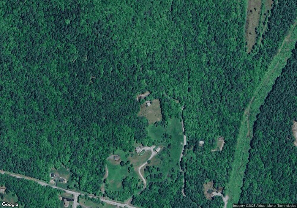
61 Keyes Rd Sunapee, NH 03782
Estimated Value: $377,622 - $418,000
1
Bed
1
Bath
931
Sq Ft
$426/Sq Ft
Est. Value
About This Home
This home is located at 61 Keyes Rd, Sunapee, NH 03782 and is currently estimated at $396,406, approximately $425 per square foot. 61 Keyes Rd is a home located in Sullivan County.
Ownership History
Date
Name
Owned For
Owner Type
Purchase Details
Closed on
Jun 10, 2025
Sold by
Thompson Eric S
Bought by
Eric S Thompson 2025 Ret and Thompson
Current Estimated Value
Purchase Details
Closed on
Nov 19, 2018
Sold by
Kennedy-Bascom Jeanne F
Bought by
Thompson Eric S
Home Financials for this Owner
Home Financials are based on the most recent Mortgage that was taken out on this home.
Original Mortgage
$140,000
Interest Rate
4.7%
Mortgage Type
Purchase Money Mortgage
Purchase Details
Closed on
Dec 11, 1996
Sold by
Johnson Peter M
Bought by
Jean Ann Kennedy T
Create a Home Valuation Report for This Property
The Home Valuation Report is an in-depth analysis detailing your home's value as well as a comparison with similar homes in the area
Home Values in the Area
Average Home Value in this Area
Purchase History
| Date | Buyer | Sale Price | Title Company |
|---|---|---|---|
| Eric S Thompson 2025 Ret | -- | None Available | |
| Thompson Eric S | $190,000 | -- | |
| Thompson Eric S | $190,000 | -- | |
| Jean Ann Kennedy T | $80,000 | -- | |
| Jean Ann Kennedy T | $80,000 | -- |
Source: Public Records
Mortgage History
| Date | Status | Borrower | Loan Amount |
|---|---|---|---|
| Previous Owner | Thompson Eric S | $140,000 |
Source: Public Records
Tax History Compared to Growth
Tax History
| Year | Tax Paid | Tax Assessment Tax Assessment Total Assessment is a certain percentage of the fair market value that is determined by local assessors to be the total taxable value of land and additions on the property. | Land | Improvement |
|---|---|---|---|---|
| 2024 | $2,222 | $222,000 | $115,400 | $106,600 |
| 2023 | $4,138 | $427,500 | $227,000 | $200,500 |
| 2022 | $3,106 | $222,000 | $115,400 | $106,600 |
| 2021 | $3,026 | $222,000 | $115,400 | $106,600 |
| 2020 | $5,028 | $207,400 | $115,400 | $92,000 |
| 2019 | $3,046 | $191,200 | $98,000 | $93,200 |
| 2018 | $2,972 | $191,200 | $98,000 | $93,200 |
| 2017 | $2,874 | $191,200 | $98,000 | $93,200 |
| 2016 | $2,874 | $191,200 | $98,000 | $93,200 |
| 2015 | $2,885 | $192,200 | $90,500 | $101,700 |
| 2014 | $2,918 | $192,200 | $90,500 | $101,700 |
| 2013 | $2,810 | $192,200 | $90,500 | $101,700 |
Source: Public Records
Map
Nearby Homes
- 367 North Rd
- 242 Prospect Hill Rd
- 00 Granite Ridge Rd Unit 2
- 770 Jobs Creek Rd
- 76 Tonset Slope
- 5 Northshore Rd
- 0 Northshore Rd
- 28 Northshore Rd
- 155B Avery Rd
- 1043 Main St
- 1024 Lake
- 1279 Route 11
- 1100 Lake Ave
- 75 Westwood Rd
- 1376 New Hampshire 11
- 72 Marys Rd
- 12 Ryder Corner Rd
- 6 Paquette Ln
- 140 Hogg Hill Rd
- 0 Woodland Rd
- 124 Trow Hill Rd
- 36 Keyes Rd
- 100 Trow Hill Rd
- 153 Trow Hill Rd
- 133 Trow Hill Rd
- 107 Trow Hill Rd
- 125 Trow Hill Rd
- 139 Trow Hill Rd
- 131 Trow Hill Rd
- 4 Fieldstone Dr Unit 4
- 156 Trow Hill Rd
- 0 Fieldstone Dr Unit 4629291
- 0 Fieldstone Dr Unit 4232592
- 2 Fieldstone Dr
- 3 Fieldstone Dr
- 5 Fieldstone Dr
- 7 Fieldstone Dr
- 6 Fieldstone Dr
- 8 Fieldstone Dr
- 11 Fieldstone Dr
