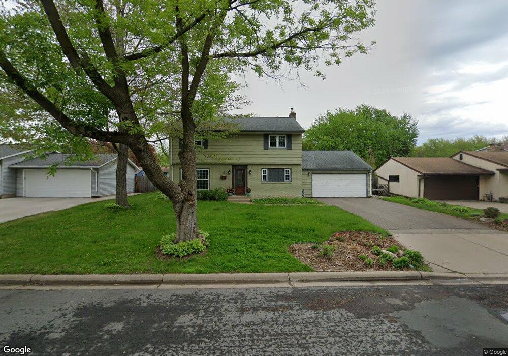
61 Langer Cir West St. Paul, MN 55118
Estimated Value: $392,135 - $509,000
4
Beds
3
Baths
2,226
Sq Ft
$201/Sq Ft
Est. Value
About This Home
This home is located at 61 Langer Cir, West St. Paul, MN 55118 and is currently estimated at $448,284, approximately $201 per square foot. 61 Langer Cir is a home located in Dakota County with nearby schools including Moreland Arts & Health Sciences Magnet School, Heritage E-STEM Magnet School, and Two Rivers High School.
Ownership History
Date
Name
Owned For
Owner Type
Purchase Details
Closed on
Oct 24, 2011
Sold by
Johnson Jeffrey F and Johnson Corrine A
Bought by
Maryin Kathleen M and Risch Richard K
Current Estimated Value
Purchase Details
Closed on
Jun 20, 1996
Sold by
Colestock Richar
Bought by
Johnson Jeff F and Johnson Corrine A
Create a Home Valuation Report for This Property
The Home Valuation Report is an in-depth analysis detailing your home's value as well as a comparison with similar homes in the area
Home Values in the Area
Average Home Value in this Area
Purchase History
| Date | Buyer | Sale Price | Title Company |
|---|---|---|---|
| Maryin Kathleen M | $238,000 | None Available | |
| Johnson Jeff F | $159,900 | -- |
Source: Public Records
Tax History Compared to Growth
Tax History
| Year | Tax Paid | Tax Assessment Tax Assessment Total Assessment is a certain percentage of the fair market value that is determined by local assessors to be the total taxable value of land and additions on the property. | Land | Improvement |
|---|---|---|---|---|
| 2024 | $5,110 | $395,800 | $85,200 | $310,600 |
| 2023 | $4,802 | $412,400 | $90,200 | $322,200 |
| 2022 | $4,438 | $399,300 | $89,900 | $309,400 |
| 2021 | $4,296 | $342,000 | $78,200 | $263,800 |
| 2020 | $4,104 | $329,600 | $74,400 | $255,200 |
| 2019 | $3,780 | $307,700 | $70,900 | $236,800 |
| 2018 | $3,679 | $273,200 | $66,300 | $206,900 |
| 2017 | $3,415 | $276,700 | $63,100 | $213,600 |
| 2016 | $3,289 | $249,100 | $57,400 | $191,700 |
| 2015 | $3,342 | $225,559 | $52,671 | $172,888 |
| 2014 | -- | $222,071 | $48,727 | $173,344 |
| 2013 | -- | $201,470 | $44,342 | $157,128 |
Source: Public Records
Map
Nearby Homes
- 69 Langer Cir
- 63 Langer Cir
- 280 Edith Dr
- 111 Imperial Dr W Unit 102
- 100 Imperial Dr W Unit 204
- 1450 Bidwell St Unit 110
- 158 Southwind Ln
- 389 Edith Dr
- 1384 Smith Ave S
- 1277 Hall Ave
- 1220 Stryker Ave
- 1513 Smith Ave S
- 170 Wentworth Ave W Unit F
- 1620 Charlton St Unit 109
- 242 Butler Ave W
- 180 Wentworth Ave W Unit E
- 69 Amelia Ave
- 1062 Ohio St
- 1084 Hall Ave
- 8 Dorset Rd
- 61 Langer Cir
- 59 Langer Cir
- 217 Emerson Ave W
- 55 Langer Cir
- 1343 Allen Ave
- 1357 Allen Ave
- 1343 Allen Ave
- 60 Langer Cir
- 237 Emerson Ave W
- 237 237 Emerson-Avenue-w
- 237 237 Emerson Ave W
- 1365 Allen Ave
- 1337 Allen Ave
- 58 Langer Cir
- 1337 Allen Ave
- 1344 1344 Allen-Avenue-
- 212 212 Emerson-Avenue-w
- 48 48 Langer-Circle-
- 240 Emerson Ave W
- 56 Langer Cir