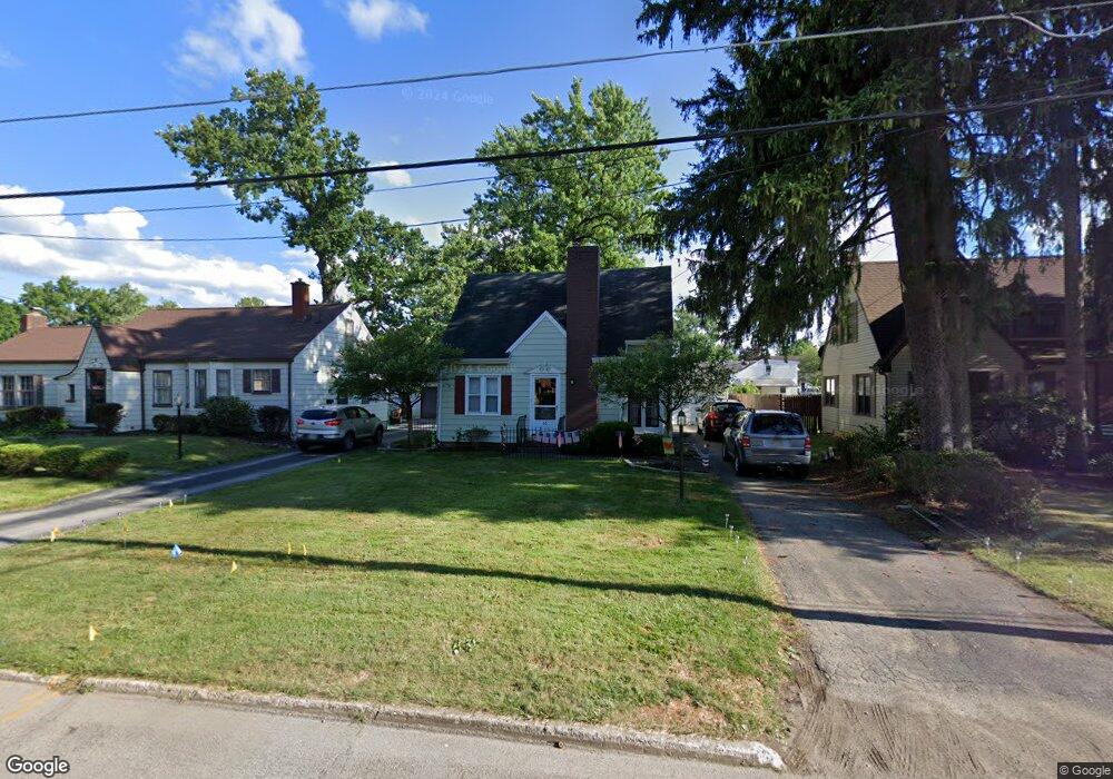
61 Leighton Ave Youngstown, OH 44512
Estimated Value: $99,000 - $118,000
2
Beds
1
Bath
918
Sq Ft
$117/Sq Ft
Est. Value
About This Home
This home is located at 61 Leighton Ave, Youngstown, OH 44512 and is currently estimated at $107,028, approximately $116 per square foot. 61 Leighton Ave is a home located in Mahoning County with nearby schools including Boardman Glenwood Junior High School, Boardman High School, and Horizon Science Academy - Youngstown.
Ownership History
Date
Name
Owned For
Owner Type
Purchase Details
Closed on
Sep 20, 2005
Sold by
Oyster Joan
Bought by
Hoover Quinton F and Hoover Diana M
Current Estimated Value
Home Financials for this Owner
Home Financials are based on the most recent Mortgage that was taken out on this home.
Original Mortgage
$30,000
Outstanding Balance
$16,131
Interest Rate
5.93%
Mortgage Type
Fannie Mae Freddie Mac
Estimated Equity
$90,897
Purchase Details
Closed on
Jul 21, 1986
Bought by
Oyster Rebecca and Oyster Joan
Create a Home Valuation Report for This Property
The Home Valuation Report is an in-depth analysis detailing your home's value as well as a comparison with similar homes in the area
Home Values in the Area
Average Home Value in this Area
Purchase History
| Date | Buyer | Sale Price | Title Company |
|---|---|---|---|
| Hoover Quinton F | $40,000 | -- | |
| Oyster Rebecca | $45,000 | -- |
Source: Public Records
Mortgage History
| Date | Status | Borrower | Loan Amount |
|---|---|---|---|
| Open | Hoover Quinton F | $30,000 |
Source: Public Records
Tax History Compared to Growth
Tax History
| Year | Tax Paid | Tax Assessment Tax Assessment Total Assessment is a certain percentage of the fair market value that is determined by local assessors to be the total taxable value of land and additions on the property. | Land | Improvement |
|---|---|---|---|---|
| 2024 | $1,317 | $25,040 | $3,780 | $21,260 |
| 2023 | $1,300 | $25,040 | $3,780 | $21,260 |
| 2022 | $1,082 | $15,860 | $3,770 | $12,090 |
| 2021 | $1,082 | $15,860 | $3,770 | $12,090 |
| 2020 | $1,088 | $15,860 | $3,770 | $12,090 |
| 2019 | $1,090 | $13,910 | $3,310 | $10,600 |
| 2018 | $915 | $13,910 | $3,310 | $10,600 |
| 2017 | $897 | $13,910 | $3,310 | $10,600 |
| 2016 | $943 | $14,490 | $3,590 | $10,900 |
| 2015 | $924 | $14,490 | $3,590 | $10,900 |
| 2014 | $927 | $14,490 | $3,590 | $10,900 |
| 2013 | $915 | $14,490 | $3,590 | $10,900 |
Source: Public Records
Map
Nearby Homes
- 44 Gertrude Ave
- 103 Wildwood Dr
- 197 Mathews Rd Unit B
- 149 Argyle Ave
- 26 Marlindale Ave
- 169 Wolcott Dr
- 167 Afton Ave
- 81 Melrose Ave
- 6001 Applecrest Dr
- 0 Mathews Rd Unit 5038026
- 6511 Pembrooke Place
- 235 Wolcott Dr
- 127 Melrose Ave
- 96 Aylesboro Ave
- 6726 Glendale Ave
- 242 Oakley Ave
- 642 Oakridge Dr
- 329 Afton Ave
- 6785 Tanglewood Dr
- 707 Oakridge Dr