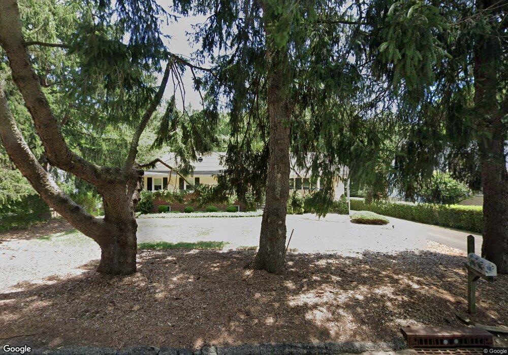
61 Malapardis Rd Whippany, NJ 07981
Estimated Value: $621,000 - $772,000
--
Bed
--
Bath
1,696
Sq Ft
$409/Sq Ft
Est. Value
About This Home
This home is located at 61 Malapardis Rd, Whippany, NJ 07981 and is currently estimated at $694,445, approximately $409 per square foot. 61 Malapardis Rd is a home located in Morris County with nearby schools including Whippany Park High School, Arrow Academy, and Allegro School.
Ownership History
Date
Name
Owned For
Owner Type
Purchase Details
Closed on
Oct 29, 2018
Sold by
Ecker Francesca
Bought by
Ecker Francesca M and Ecker Konrad Z
Current Estimated Value
Home Financials for this Owner
Home Financials are based on the most recent Mortgage that was taken out on this home.
Original Mortgage
$400,000
Interest Rate
4.7%
Mortgage Type
New Conventional
Create a Home Valuation Report for This Property
The Home Valuation Report is an in-depth analysis detailing your home's value as well as a comparison with similar homes in the area
Home Values in the Area
Average Home Value in this Area
Purchase History
| Date | Buyer | Sale Price | Title Company |
|---|---|---|---|
| Ecker Francesca M | -- | Foundation Title Llc |
Source: Public Records
Mortgage History
| Date | Status | Borrower | Loan Amount |
|---|---|---|---|
| Closed | Ecker Francesca M | $400,000 |
Source: Public Records
Tax History Compared to Growth
Tax History
| Year | Tax Paid | Tax Assessment Tax Assessment Total Assessment is a certain percentage of the fair market value that is determined by local assessors to be the total taxable value of land and additions on the property. | Land | Improvement |
|---|---|---|---|---|
| 2025 | $8,894 | $415,400 | $208,500 | $206,900 |
| 2024 | $8,782 | $415,400 | $208,500 | $206,900 |
| 2023 | $8,782 | $415,400 | $208,500 | $206,900 |
| 2022 | $7,784 | $415,400 | $208,500 | $206,900 |
| 2021 | $7,784 | $415,400 | $208,500 | $206,900 |
| 2020 | $7,556 | $415,400 | $208,500 | $206,900 |
| 2019 | $7,942 | $415,400 | $208,500 | $206,900 |
| 2018 | $7,818 | $415,400 | $208,500 | $206,900 |
| 2017 | $7,639 | $415,400 | $208,500 | $206,900 |
| 2016 | $7,523 | $415,400 | $208,500 | $206,900 |
| 2015 | $6,982 | $415,400 | $208,500 | $206,900 |
| 2014 | $6,833 | $415,400 | $208,500 | $206,900 |
Source: Public Records
Map
Nearby Homes
- 1031 State Route 10
- 306 Brook Hollow Dr Unit 306
- 1005 Meadow Brook Ct Unit 1005
- 20 Gladstone Ct
- 71 Mountain Ave
- 9 Barberry Ct
- 36 Gladstone Ct
- 23 Gladstone Ct
- 39 Gladstone Ct
- 42 Gladstone Ct
- 34 Gladstone Ct
- 16 Gladstone Ct
- 14 Gladstone Ct
- 47 Gladstone Ct
- 37 Gladstone Ct
- 92 Sunrise Dr
- 13 Mountview Rd
- Monterey Plan at The Grove - The Monterey Collection
- Pershing Plan at The Grove - The Pershing Collection
- 22 Karla Dr
- 57 Malapardis Rd
- 67 Malapardis Rd
- 71 Malapardis Rd
- 51 Malapardis Rd
- 56 Malapardis Rd
- 45 Malapardis Rd
- 54 Malapardis Rd
- 50 Malapardis Rd
- 41 Malapardis Rd
- 48 Malapardis Rd
- 42 Malapardis Rd
- 39 Malapardis Rd
- 38 Malapardis Rd
- 84 Malapardis Rd
- 33 Malapardis Rd
- 34 Malapardis Rd
- 90 Malapardis Rd
- 27 Malapardis Rd
- 32 Malapardis Rd
- 97 Malapardis Rd