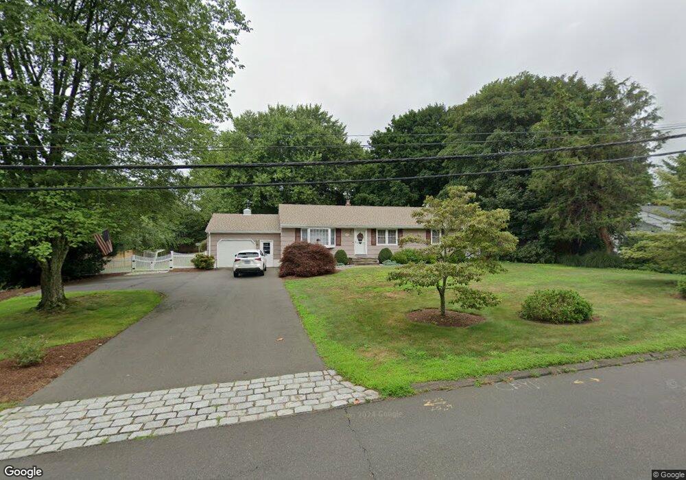
61 Mungertown Rd Madison, CT 06443
Estimated Value: $519,626 - $547,000
3
Beds
3
Baths
1,488
Sq Ft
$359/Sq Ft
Est. Value
About This Home
This home is located at 61 Mungertown Rd, Madison, CT 06443 and is currently estimated at $534,907, approximately $359 per square foot. 61 Mungertown Rd is a home located in New Haven County with nearby schools including Walter C. Polson Upper Middle School, Daniel Hand High School, and Our Lady of Mercy Preparatory Academy.
Ownership History
Date
Name
Owned For
Owner Type
Purchase Details
Closed on
Oct 31, 2008
Sold by
Mackedan Gerald W and Mackedan Michelle L
Bought by
Ferro James and Ianucci Alieia M
Current Estimated Value
Home Financials for this Owner
Home Financials are based on the most recent Mortgage that was taken out on this home.
Original Mortgage
$130,000
Interest Rate
5.83%
Purchase Details
Closed on
May 24, 2000
Sold by
Musket Matthew M and Musket Jennifer L
Bought by
Mackedon Gerald W and Mackedon Michele L
Purchase Details
Closed on
Mar 18, 1992
Sold by
Rosinus Edith S
Bought by
Musket Matthew M and Musket Jennifer L
Create a Home Valuation Report for This Property
The Home Valuation Report is an in-depth analysis detailing your home's value as well as a comparison with similar homes in the area
Home Values in the Area
Average Home Value in this Area
Purchase History
| Date | Buyer | Sale Price | Title Company |
|---|---|---|---|
| Ferro James | $280,000 | -- | |
| Mackedon Gerald W | $177,000 | -- | |
| Musket Matthew M | $135,000 | -- |
Source: Public Records
Mortgage History
| Date | Status | Borrower | Loan Amount |
|---|---|---|---|
| Open | Musket Matthew M | $80,000 | |
| Closed | Musket Matthew M | $125,608 | |
| Closed | Musket Matthew M | $130,000 |
Source: Public Records
Tax History Compared to Growth
Tax History
| Year | Tax Paid | Tax Assessment Tax Assessment Total Assessment is a certain percentage of the fair market value that is determined by local assessors to be the total taxable value of land and additions on the property. | Land | Improvement |
|---|---|---|---|---|
| 2025 | $6,956 | $310,100 | $114,100 | $196,000 |
| 2024 | $6,822 | $310,100 | $114,100 | $196,000 |
| 2023 | $6,087 | $203,100 | $87,700 | $115,400 |
| 2022 | $5,973 | $203,100 | $87,700 | $115,400 |
| 2021 | $5,859 | $203,100 | $87,700 | $115,400 |
| 2020 | $5,758 | $203,100 | $87,700 | $115,400 |
| 2019 | $3,294 | $203,100 | $87,700 | $115,400 |
| 2018 | $5,863 | $209,100 | $90,500 | $118,600 |
| 2017 | $5,708 | $209,100 | $90,500 | $118,600 |
| 2016 | $5,539 | $209,100 | $90,500 | $118,600 |
| 2015 | $5,119 | $198,700 | $90,500 | $108,200 |
| 2014 | $5,724 | $227,400 | $119,400 | $108,000 |
Source: Public Records
Map
Nearby Homes
- 9 Old Farms Rd
- 108 Boston Post Rd
- 41 Allison Dr
- 31 Stony Lane Lot 3 Rd
- 31 Stony Lane Lot 6 Rd
- 31 Stony Lane Lot 2 Rd
- 31 Stony Lane Lot 1 Rd
- 90 Boston Post Rd
- 3 Arrowhead Rd
- 115 Harbor Ave
- 146 Chittenden Field Ln
- 28 Riverside Ln
- 43 Fort Path Rd
- 75 Fairview Dr
- 513 Boston Post Rd
- 42 Horseshoe Rd
- 519 Boston Post Rd
- 15 Highland Terrace
- 26 Opening Hill Rd
- 38 Opening Hill Rd
- 65 Mungertown Rd
- 55 Mungertown Rd
- 4 Johnson Ln
- 71 Mungertown Rd
- 104 Sandlewood Dr
- 100 Sandlewood Dr
- 96 Sandlewood Dr
- 5 Johnson Ln
- 101 Sandlewood Dr
- 95 Sandlewood Dr
- 10 Johnson Ln
- 75 Mungertown Rd
- 105 Sandlewood Dr
- 92 Sandlewood Dr
- 58 Old Farms Rd
- 76 Mungertown Rd
- 15 Johnson Ln
- 90 Sandlewood Dr
- 16 Johnson Ln
- 87 Sandlewood Dr