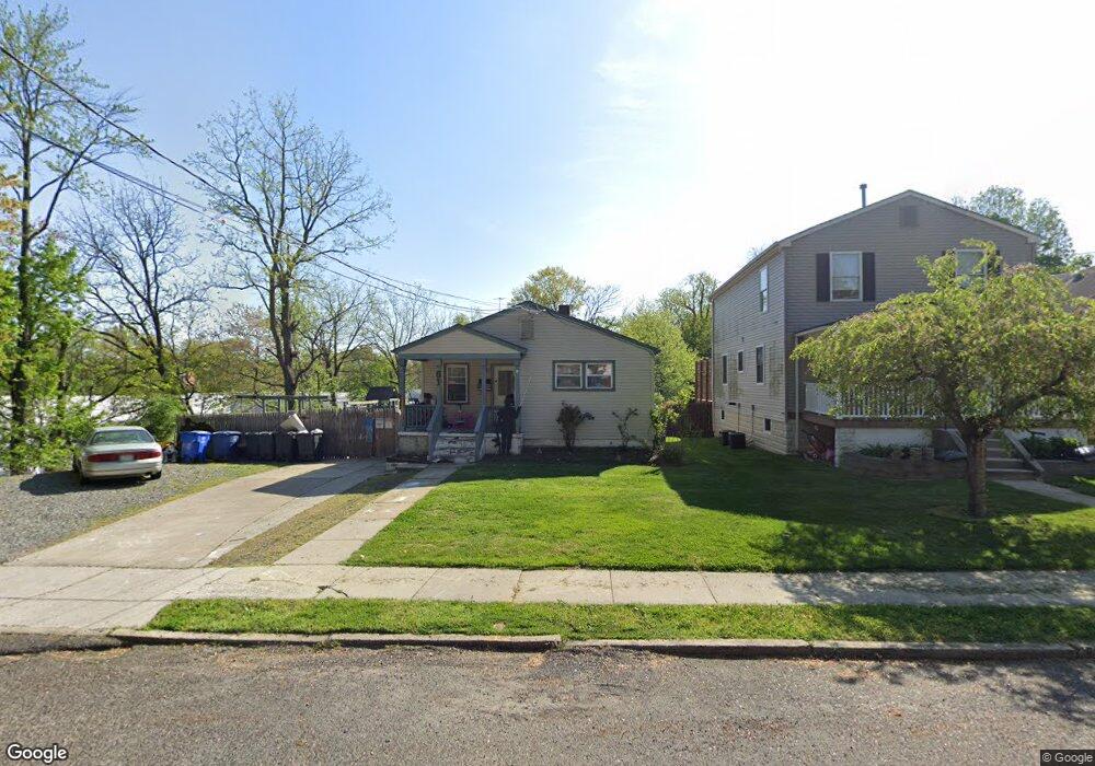
61 N Cedar Ave Maple Shade, NJ 08052
Estimated Value: $268,000 - $298,570
Studio
--
Bath
968
Sq Ft
$290/Sq Ft
Est. Value
About This Home
This home is located at 61 N Cedar Ave, Maple Shade, NJ 08052 and is currently estimated at $281,143, approximately $290 per square foot. 61 N Cedar Ave is a home located in Burlington County with nearby schools including Ralph J Steinhauer Elementary School, Maude M. Wilkins Elementary School, and Howard R Yocum School.
Ownership History
Date
Name
Owned For
Owner Type
Purchase Details
Closed on
Sep 28, 2023
Sold by
Morris Emily D
Bought by
Henry Karen E
Current Estimated Value
Home Financials for this Owner
Home Financials are based on the most recent Mortgage that was taken out on this home.
Original Mortgage
$128,612
Outstanding Balance
$126,135
Interest Rate
7.23%
Mortgage Type
FHA
Estimated Equity
$155,008
Purchase Details
Closed on
Sep 20, 2002
Sold by
Parmelee Joyce
Bought by
Morris Robert and Morris Karen E
Home Financials for this Owner
Home Financials are based on the most recent Mortgage that was taken out on this home.
Original Mortgage
$108,300
Interest Rate
6.24%
Mortgage Type
Stand Alone First
Create a Home Valuation Report for This Property
The Home Valuation Report is an in-depth analysis detailing your home's value as well as a comparison with similar homes in the area
Home Values in the Area
Average Home Value in this Area
Purchase History
| Date | Buyer | Sale Price | Title Company |
|---|---|---|---|
| Henry Karen E | -- | None Listed On Document | |
| Henry Karen E | -- | None Listed On Document | |
| Morris Robert | $114,000 | Congress Title Corp |
Source: Public Records
Mortgage History
| Date | Status | Borrower | Loan Amount |
|---|---|---|---|
| Open | Henry Karen E | $128,612 | |
| Closed | Henry Karen E | $128,612 | |
| Previous Owner | Morris Robert | $108,300 |
Source: Public Records
Tax History
| Year | Tax Paid | Tax Assessment Tax Assessment Total Assessment is a certain percentage of the fair market value that is determined by local assessors to be the total taxable value of land and additions on the property. | Land | Improvement |
|---|---|---|---|---|
| 2025 | $5,542 | $146,000 | $42,800 | $103,200 |
| 2024 | $5,382 | $146,000 | $42,800 | $103,200 |
| 2023 | $5,382 | $146,000 | $42,800 | $103,200 |
| 2022 | $5,298 | $146,000 | $42,800 | $103,200 |
| 2021 | $5,247 | $146,000 | $42,800 | $103,200 |
| 2020 | $5,262 | $146,000 | $42,800 | $103,200 |
| 2019 | $5,069 | $146,000 | $42,800 | $103,200 |
| 2018 | $4,982 | $146,000 | $42,800 | $103,200 |
| 2017 | $4,923 | $146,000 | $42,800 | $103,200 |
| 2016 | $4,850 | $146,000 | $42,800 | $103,200 |
| 2015 | $4,745 | $146,000 | $42,800 | $103,200 |
| 2014 | $4,600 | $146,000 | $42,800 | $103,200 |
Source: Public Records
Map
Nearby Homes
- 26 Morris Ave
- 15 S Pine Ave
- 44 S Pine Ave
- 620 N Lincoln Ave
- 411 A3 Stiles Ave Unit A-3
- 411 C12 Stiles Ave Unit C-12
- 411 A2 Stiles Ave Unit A-2
- 115 S Walnut Ave
- 106 Pine St
- 207 E Park Ave
- 712 E Woodlawn Ave
- 42 Spruce Ave
- 11 Errickson Ave
- 728 Haverford Ave
- 61 S Maple Ave
- 22 Theodore Ave
- 21 N Lenola Rd
- 9 N Lenola Rd
- 206 S Maple Ave
- 5 Vincent Way
Your Personal Tour Guide
Ask me questions while you tour the home.