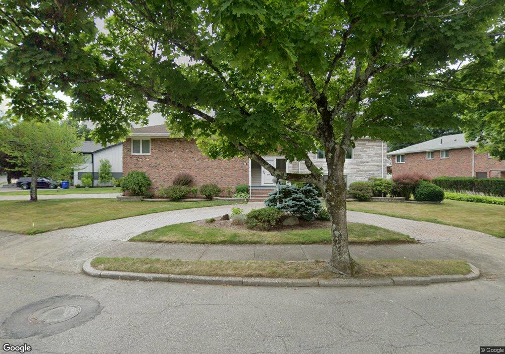
61 Nardell Rd Newton Center, MA 02459
Oak Hill NeighborhoodEstimated Value: $1,681,000 - $2,017,000
3
Beds
3
Baths
2,436
Sq Ft
$775/Sq Ft
Est. Value
About This Home
This home is located at 61 Nardell Rd, Newton Center, MA 02459 and is currently estimated at $1,887,045, approximately $774 per square foot. 61 Nardell Rd is a home located in Middlesex County with nearby schools including Memorial Spaulding Elementary School, Oak Hill Middle School, and Newton South High School.
Ownership History
Date
Name
Owned For
Owner Type
Purchase Details
Closed on
Dec 1, 1999
Sold by
Cohen Aharon and Cohen Esther
Bought by
Poberezsky Boris and Poberezsky Nehama
Current Estimated Value
Home Financials for this Owner
Home Financials are based on the most recent Mortgage that was taken out on this home.
Original Mortgage
$464,000
Interest Rate
7.86%
Mortgage Type
Purchase Money Mortgage
Purchase Details
Closed on
Mar 15, 1994
Sold by
Forman Stephen B
Bought by
Cohen Aharon and Cohen Esther
Home Financials for this Owner
Home Financials are based on the most recent Mortgage that was taken out on this home.
Original Mortgage
$365,500
Interest Rate
6.93%
Mortgage Type
Purchase Money Mortgage
Create a Home Valuation Report for This Property
The Home Valuation Report is an in-depth analysis detailing your home's value as well as a comparison with similar homes in the area
Home Values in the Area
Average Home Value in this Area
Purchase History
| Date | Buyer | Sale Price | Title Company |
|---|---|---|---|
| Poberezsky Boris | $580,000 | -- | |
| Cohen Aharon | $430,000 | -- |
Source: Public Records
Mortgage History
| Date | Status | Borrower | Loan Amount |
|---|---|---|---|
| Open | Cohen Aharon | $528,750 | |
| Closed | Cohen Aharon | $464,000 | |
| Previous Owner | Cohen Aharon | $42,000 | |
| Previous Owner | Cohen Aharon | $365,500 |
Source: Public Records
Tax History Compared to Growth
Tax History
| Year | Tax Paid | Tax Assessment Tax Assessment Total Assessment is a certain percentage of the fair market value that is determined by local assessors to be the total taxable value of land and additions on the property. | Land | Improvement |
|---|---|---|---|---|
| 2025 | $14,592 | $1,489,000 | $1,205,100 | $283,900 |
| 2024 | $14,109 | $1,445,600 | $1,170,000 | $275,600 |
| 2023 | $13,415 | $1,317,800 | $908,900 | $408,900 |
| 2022 | $12,837 | $1,220,200 | $841,600 | $378,600 |
| 2021 | $7,757 | $1,151,100 | $794,000 | $357,100 |
| 2020 | $12,017 | $1,151,100 | $794,000 | $357,100 |
| 2019 | $11,679 | $1,117,600 | $770,900 | $346,700 |
| 2018 | $6,561 | $1,004,500 | $705,300 | $299,200 |
| 2017 | $10,537 | $947,600 | $665,400 | $282,200 |
| 2016 | $10,078 | $885,600 | $621,900 | $263,700 |
| 2015 | $9,610 | $827,700 | $581,200 | $246,500 |
Source: Public Records
Map
Nearby Homes
- 99 Baldpate Hill Rd
- 56 Cynthia Rd
- 63 Drumlin Rd
- 59 Deborah Rd
- 14 Rolling Ln
- 70 Pond Brook Rd
- 41 Juniper Ln
- 109 Harwich Rd
- 135 Hartman Rd
- 80 Louise Rd Unit 82
- 79 Florence St Unit 600S
- 79 Florence St Unit 402S
- 65 Levbert Rd
- 136 Dudley Rd
- 38 Tanglewood Rd
- 44 Lovett Rd
- 21 Lovett Rd
- 5 Heathwood Ln
- 280 Boylston St Unit 203
- 280 Boylston St Unit 905