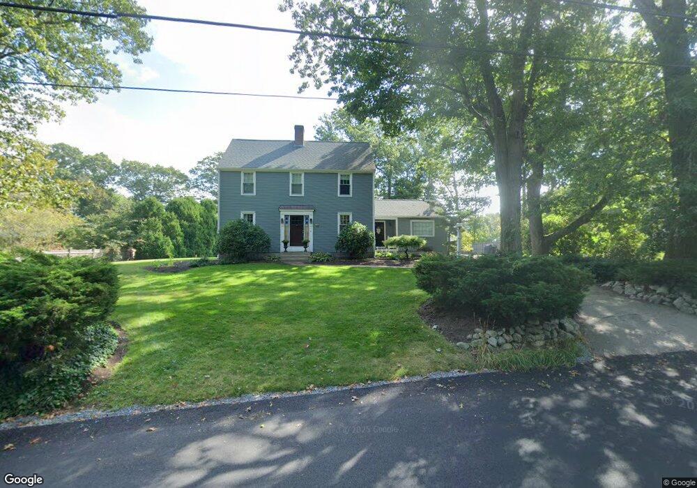
61 Pratt Rd Scituate, MA 02066
Estimated Value: $936,282 - $1,200,000
4
Beds
2
Baths
2,142
Sq Ft
$490/Sq Ft
Est. Value
About This Home
This home is located at 61 Pratt Rd, Scituate, MA 02066 and is currently estimated at $1,049,571, approximately $489 per square foot. 61 Pratt Rd is a home located in Plymouth County with nearby schools including Cushing Elementary School, Lester J. Gates Middle School, and Scituate High School.
Ownership History
Date
Name
Owned For
Owner Type
Purchase Details
Closed on
May 28, 2004
Sold by
Flaherty Robert E and Flaherty Susan M B
Bought by
Ahern Stephen J and Ahern Karen L
Current Estimated Value
Home Financials for this Owner
Home Financials are based on the most recent Mortgage that was taken out on this home.
Original Mortgage
$377,500
Interest Rate
5.88%
Mortgage Type
Purchase Money Mortgage
Purchase Details
Closed on
Aug 8, 1988
Sold by
Macrae Edward C
Bought by
Flaherty Robert E
Create a Home Valuation Report for This Property
The Home Valuation Report is an in-depth analysis detailing your home's value as well as a comparison with similar homes in the area
Home Values in the Area
Average Home Value in this Area
Purchase History
| Date | Buyer | Sale Price | Title Company |
|---|---|---|---|
| Ahern Stephen J | $577,500 | -- | |
| Flaherty Robert E | $240,000 | -- |
Source: Public Records
Mortgage History
| Date | Status | Borrower | Loan Amount |
|---|---|---|---|
| Open | Flaherty Robert E | $333,700 | |
| Closed | Flaherty Robert E | $65,000 | |
| Closed | Flaherty Robert E | $377,500 |
Source: Public Records
Tax History
| Year | Tax Paid | Tax Assessment Tax Assessment Total Assessment is a certain percentage of the fair market value that is determined by local assessors to be the total taxable value of land and additions on the property. | Land | Improvement |
|---|---|---|---|---|
| 2025 | $8,008 | $801,600 | $417,600 | $384,000 |
| 2024 | $7,834 | $756,200 | $379,600 | $376,600 |
| 2023 | $7,678 | $698,800 | $345,100 | $353,700 |
| 2022 | $7,678 | $608,400 | $311,800 | $296,600 |
| 2021 | $7,634 | $572,700 | $311,100 | $261,600 |
| 2020 | $7,448 | $551,700 | $299,100 | $252,600 |
| 2019 | $7,303 | $531,500 | $293,200 | $238,300 |
| 2018 | $7,014 | $502,800 | $288,700 | $214,100 |
| 2017 | $6,810 | $483,300 | $277,600 | $205,700 |
| 2016 | $6,520 | $461,100 | $255,400 | $205,700 |
| 2015 | $5,895 | $450,000 | $244,300 | $205,700 |
Source: Public Records
Map
Nearby Homes
- 67 Pratt Rd
- 629 Country Way
- 49 Whittier Dr
- 701 Country Way
- 11 Forest Ln
- 9 Forest Ln Unit 9
- 59 Captain Peirce Rd
- 7 3 Ring Rd
- 54 Woodland Rd
- 26 Mordecai Lincoln Rd
- 537 First Parish Rd
- 74 Branch St Unit 15
- 817 Country Way
- 327 Country Way
- 627 First Parish Rd
- 430 Hatherly Rd
- 430 Hatherly Rd Unit Exhibit “A”
- 430 Hatherly Rd Unit Exhibit “B”
- 20 Lawson Rd
- 49 Jackson Rd
- 57 Pratt Rd
- 62 Pratt Rd
- 53 Pratt Rd
- 50 Hatchet Rock Rd
- 68 Pratt Rd
- 73 Pratt Rd
- 190 Captain Pierce Rd
- 196 Captain Pierce Rd
- 53 Creelman Dr
- 44 Hatchet Rock Rd
- 39 Creelman Dr
- 35 Creelman Dr
- 49 Creelman Dr
- 74 Pratt Rd
- 189 Captain Pierce Rd
- 79 Pratt Rd
- 187 Captain Pierce Rd
- 55 Creelman Dr
- 38 Hatchet Rock Rd
- 191 Captain Peirce Rd
Your Personal Tour Guide
Ask me questions while you tour the home.