61 S Shore Rd Embden, ME 04958
Estimated Value: $624,000
2
Beds
2
Baths
1,328
Sq Ft
$470/Sq Ft
Est. Value
About This Home
This home is located at 61 S Shore Rd, Embden, ME 04958 and is currently priced at $624,000, approximately $469 per square foot. 61 S Shore Rd is a home located in Somerset County.
Ownership History
Date
Name
Owned For
Owner Type
Purchase Details
Closed on
Sep 26, 2022
Sold by
Tranten Ralph T and Tranten Tammy
Bought by
Charpentier Tracy and Charpentier Michelle
Current Estimated Value
Home Financials for this Owner
Home Financials are based on the most recent Mortgage that was taken out on this home.
Original Mortgage
$287,000
Outstanding Balance
$272,570
Interest Rate
5.22%
Mortgage Type
Purchase Money Mortgage
Purchase Details
Closed on
May 3, 2013
Sold by
Johnson Douglas A and Johnson Elizabeth A
Bought by
Tranten Ralph E and Tranten Tammy L
Create a Home Valuation Report for This Property
The Home Valuation Report is an in-depth analysis detailing your home's value as well as a comparison with similar homes in the area
Purchase History
| Date | Buyer | Sale Price | Title Company |
|---|---|---|---|
| Charpentier Tracy | $452,500 | None Available | |
| Charpentier Tracy | $452,500 | None Available | |
| Tranten Ralph E | -- | -- | |
| Tranten Ralph E | -- | -- | |
| Tranten Ralph E | -- | -- | |
| Tranten Ralph E | -- | -- |
Source: Public Records
Mortgage History
| Date | Status | Borrower | Loan Amount |
|---|---|---|---|
| Open | Charpentier Tracy | $287,000 |
Source: Public Records
Tax History
| Year | Tax Paid | Tax Assessment Tax Assessment Total Assessment is a certain percentage of the fair market value that is determined by local assessors to be the total taxable value of land and additions on the property. | Land | Improvement |
|---|---|---|---|---|
| 2024 | $3,132 | $355,900 | $225,800 | $130,100 |
| 2023 | $2,891 | $246,900 | $166,200 | $80,700 |
| 2022 | $2,844 | $213,000 | $138,500 | $74,500 |
| 2021 | $2,685 | $185,200 | $120,400 | $64,800 |
| 2020 | $2,778 | $185,200 | $120,400 | $64,800 |
| 2019 | $2,732 | $185,200 | $120,400 | $64,800 |
| 2018 | $2,778 | $185,200 | $120,400 | $64,800 |
| 2017 | $2,559 | $186,100 | $120,400 | $65,700 |
| 2016 | $2,400 | $186,200 | $120,400 | $65,800 |
| 2015 | $2,426 | $187,200 | $120,400 | $66,800 |
| 2014 | $2,344 | $188,100 | $120,400 | $67,700 |
Source: Public Records
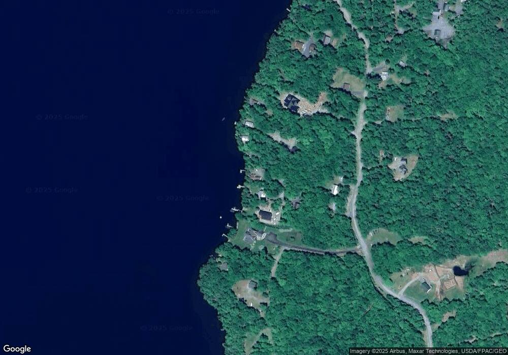
Map
Nearby Homes
- 18 Winter Dr
- TBD Spruce Dr
- 203 E Shore Rd
- M7 L13-1 Pine Bluff Rd
- M7 L19-5 Pine Bluff Rd
- M7 L1-20 Off Pine Bluff Dr
- 047-025 Cardinal Dr
- 20 Blue Jay Dr
- 1 Katie Crotch Rd
- 452 New Portland Rd
- 6 Locust Dr
- 167 Rd
- 215 Embden Pond Rd
- 184 Meadow Brook Rd
- 167 Town Farm Rd
- 012-013-01 Bert Berry Rd
- 167 (House) Town Farm Rd
- 146 Ferry St
- 283 Meadow Brook Rd
- 28 Long Falls Dam Rd
Your Personal Tour Guide
Ask me questions while you tour the home.