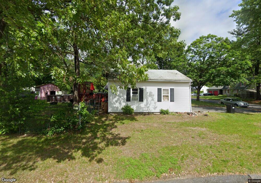
61 Sparrow Dr Springfield, MA 01119
Sixteen Acres NeighborhoodEstimated Value: $327,878 - $348,000
4
Beds
2
Baths
1,470
Sq Ft
$232/Sq Ft
Est. Value
About This Home
This home is located at 61 Sparrow Dr, Springfield, MA 01119 and is currently estimated at $341,470, approximately $232 per square foot. 61 Sparrow Dr is a home located in Hampden County with nearby schools including Mary M. Lynch Elementary School, John J Duggan Middle, and Springfield Central High School.
Create a Home Valuation Report for This Property
The Home Valuation Report is an in-depth analysis detailing your home's value as well as a comparison with similar homes in the area
Home Values in the Area
Average Home Value in this Area
Tax History
| Year | Tax Paid | Tax Assessment Tax Assessment Total Assessment is a certain percentage of the fair market value that is determined by local assessors to be the total taxable value of land and additions on the property. | Land | Improvement |
|---|---|---|---|---|
| 2025 | $4,169 | $265,900 | $52,400 | $213,500 |
| 2024 | $3,972 | $247,300 | $52,400 | $194,900 |
| 2023 | $3,829 | $224,600 | $49,900 | $174,700 |
| 2022 | $3,478 | $184,800 | $49,900 | $134,900 |
| 2021 | $3,432 | $181,600 | $45,300 | $136,300 |
| 2020 | $3,283 | $168,100 | $45,300 | $122,800 |
| 2019 | $3,155 | $160,300 | $45,300 | $115,000 |
| 2018 | $3,147 | $159,900 | $45,300 | $114,600 |
| 2017 | $3,151 | $160,300 | $45,200 | $115,100 |
| 2016 | $2,874 | $146,200 | $45,200 | $101,000 |
| 2015 | $2,882 | $146,500 | $45,200 | $101,300 |
Source: Public Records
Map
Nearby Homes
- 381 N Brook Rd
- 854 Grayson Dr
- 63 Granger St
- 186 Bolton St
- 130 Spear Rd
- 56 Contessa Ln
- 195 Almira Rd
- 64 Wilmington St
- 106-108 Breckwood Cir
- Lot 37 Kane St
- 108 Birchland Ave
- 187 Lamont St
- 106 Almira Rd
- 251 Rosewell St
- 70 Shumway St Unit 29
- 42 Better Way
- - Glenwood St
- 40 Better Way
- 39 Wallace St
- 34 Wallace St
Your Personal Tour Guide
Ask me questions while you tour the home.