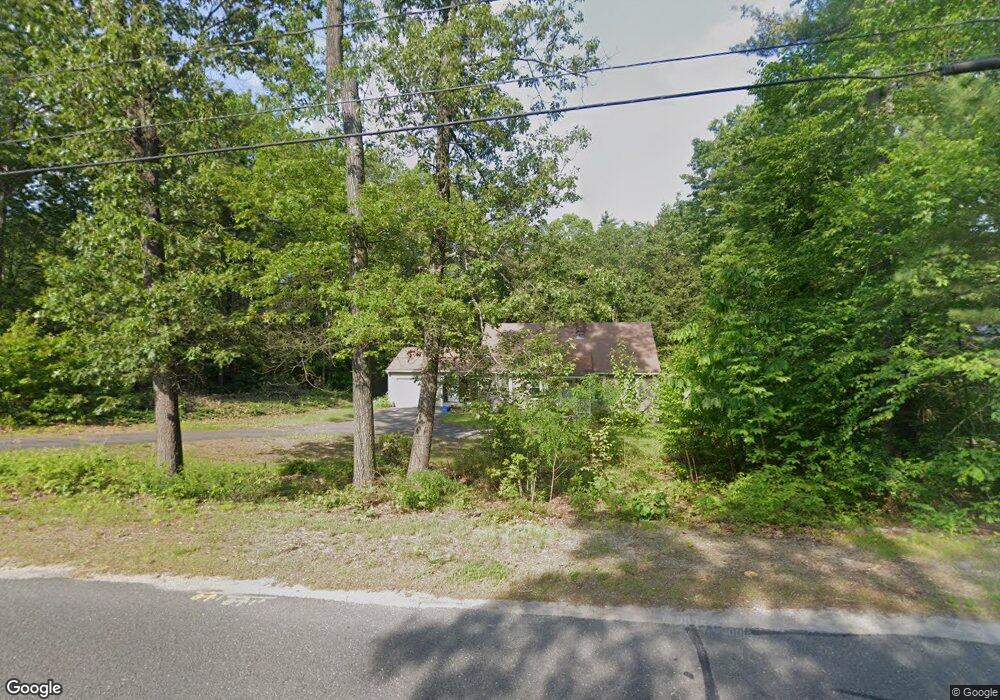
61 Strong Rd Southampton, MA 01073
Estimated Value: $438,642 - $517,000
3
Beds
2
Baths
1,883
Sq Ft
$248/Sq Ft
Est. Value
About This Home
This home is located at 61 Strong Rd, Southampton, MA 01073 and is currently estimated at $466,161, approximately $247 per square foot. 61 Strong Rd is a home located in Hampshire County with nearby schools including William E Norris School, White Oak School, and Westfield Christian Academy.
Ownership History
Date
Name
Owned For
Owner Type
Purchase Details
Closed on
Oct 31, 2012
Sold by
Skypeck Joyce E
Bought by
Hogan 3Rd Thomas J and Hogan Lisa A
Current Estimated Value
Purchase Details
Closed on
Sep 3, 1985
Bought by
Skypeck Joyce E
Create a Home Valuation Report for This Property
The Home Valuation Report is an in-depth analysis detailing your home's value as well as a comparison with similar homes in the area
Home Values in the Area
Average Home Value in this Area
Purchase History
| Date | Buyer | Sale Price | Title Company |
|---|---|---|---|
| Hogan 3Rd Thomas J | -- | -- | |
| Skypeck Joyce E | -- | -- |
Source: Public Records
Mortgage History
| Date | Status | Borrower | Loan Amount |
|---|---|---|---|
| Previous Owner | Skypeck Joyce E | $50,000 | |
| Previous Owner | Skypeck Joyce E | $25,000 | |
| Previous Owner | Skypeck Joyce E | $30,000 |
Source: Public Records
Tax History Compared to Growth
Tax History
| Year | Tax Paid | Tax Assessment Tax Assessment Total Assessment is a certain percentage of the fair market value that is determined by local assessors to be the total taxable value of land and additions on the property. | Land | Improvement |
|---|---|---|---|---|
| 2025 | $4,825 | $340,500 | $96,700 | $243,800 |
| 2024 | $4,852 | $340,500 | $96,700 | $243,800 |
| 2023 | $4,706 | $328,400 | $96,700 | $231,700 |
| 2022 | $4,452 | $295,400 | $88,000 | $207,400 |
| 2021 | $4,339 | $271,700 | $82,000 | $189,700 |
| 2020 | $4,344 | $274,600 | $82,000 | $192,600 |
| 2019 | $4,241 | $260,000 | $82,000 | $178,000 |
| 2018 | $3,373 | $232,200 | $73,400 | $158,800 |
| 2017 | $3,790 | $232,200 | $73,400 | $158,800 |
| 2015 | $3,662 | $233,100 | $66,900 | $166,200 |
Source: Public Records
Map
Nearby Homes
- 369 College Hwy
- Lot 57 White Loaf Rd
- 36 County Rd
- 119 Brickyard Rd
- Lot 5 Brickyard Rd
- 4 Fitch Farm Way
- Lot 5 Gil Farm Rd
- Lot 6 Gil Farm Rd
- 14 Eastwood Dr
- 150 Middle Rd
- 94 Pequot Rd (Rear)
- 405 Rock Valley Rd
- 47 Jaeger Dr
- 45 Jaeger Dr
- 36 Line St
- 64 Old Stage Rd
- 59 Campbell Dr
- 22 Phelps St
- 17 Maple St
- 95 Gunn Rd
- 8 Cheryl Ln
- 10 Cheryl Ln
- 8 Madeline Way
- 79 Moose Brook Rd
- 6 Cheryl Ln
- 7 Cheryl Ln
- 77 Moose Brook Rd
- 75 Moose Brook Rd
- 6 Madeline Way
- 4 Cheryl Ln
- 5 Cheryl Ln
- 9 Madeline Way
- 3 Cheryl Ln
- 73 Moose Brook Rd
- 73 Moose Brook Rd Unit 1
- 4 Madeline Way
- 69 Moose Brook Rd
- 7 Madeline Way
- 63 Strong Rd
- 5 Madeline Way