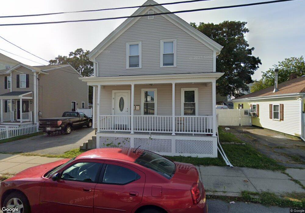
61 Swindells St Fall River, MA 02723
Flint NeighborhoodEstimated Value: $346,000 - $432,000
3
Beds
2
Baths
1,324
Sq Ft
$286/Sq Ft
Est. Value
About This Home
This home is located at 61 Swindells St, Fall River, MA 02723 and is currently estimated at $378,791, approximately $286 per square foot. 61 Swindells St is a home located in Bristol County with nearby schools including Samuel Watson, Talbot Innovation School, and B M C Durfee High School.
Ownership History
Date
Name
Owned For
Owner Type
Purchase Details
Closed on
Apr 29, 2003
Sold by
Dupont Arline and Dupont Roger N
Bought by
Amaral Thomas J
Current Estimated Value
Home Financials for this Owner
Home Financials are based on the most recent Mortgage that was taken out on this home.
Original Mortgage
$178,398
Interest Rate
5.64%
Mortgage Type
Purchase Money Mortgage
Create a Home Valuation Report for This Property
The Home Valuation Report is an in-depth analysis detailing your home's value as well as a comparison with similar homes in the area
Home Values in the Area
Average Home Value in this Area
Purchase History
| Date | Buyer | Sale Price | Title Company |
|---|---|---|---|
| Amaral Thomas J | $174,900 | -- |
Source: Public Records
Mortgage History
| Date | Status | Borrower | Loan Amount |
|---|---|---|---|
| Open | Amaral Thomas J | $165,100 | |
| Closed | Amaral Thomas J | $178,398 | |
| Previous Owner | Amaral Thomas J | $56,000 |
Source: Public Records
Tax History
| Year | Tax Paid | Tax Assessment Tax Assessment Total Assessment is a certain percentage of the fair market value that is determined by local assessors to be the total taxable value of land and additions on the property. | Land | Improvement |
|---|---|---|---|---|
| 2025 | $3,421 | $298,800 | $126,200 | $172,600 |
| 2024 | $3,171 | $276,000 | $121,400 | $154,600 |
| 2023 | $2,869 | $233,800 | $104,100 | $129,700 |
| 2022 | $2,635 | $208,800 | $94,600 | $114,200 |
| 2021 | $2,474 | $178,900 | $87,600 | $91,300 |
| 2020 | $2,267 | $156,900 | $83,800 | $73,100 |
| 2019 | $2,151 | $147,500 | $79,800 | $67,700 |
| 2018 | $2,013 | $137,700 | $78,300 | $59,400 |
| 2017 | $1,904 | $136,000 | $79,900 | $56,100 |
| 2016 | $1,880 | $137,900 | $83,200 | $54,700 |
| 2015 | $1,763 | $134,800 | $80,100 | $54,700 |
| 2014 | $1,812 | $144,000 | $84,400 | $59,600 |
Source: Public Records
Map
Nearby Homes
- 38 Eaton St
- 1792 Pleasant St Unit 1808
- 1768 Pleasant St
- 34 Alsop St
- 712 Eastern Ave
- 215 Earle St Unit 1
- 219 Earle St Unit 3
- 217 Earle St Unit 2
- 352 Barnes St
- 3 Edgemond St
- 366 Alden St
- 144 Choate St
- 529 Eastern Ave
- 756 County St
- 152 Alden St
- 580 County St
- 178 Thomas St
- 25 Lebanon St Unit D
- 25 Lebanon St Unit C
- 274 Harrison St
- 51 Swindells St
- 71 Swindells St
- 81 Swindells St Unit 2
- 81 Swindells St
- 67 Swindells St
- 85 Swindells St
- 160 Barlow St
- 150 Barlow St
- 150 Barlow St Unit 3
- 170 Barlow St
- 50 Swindells St
- 72 Swindells St
- 93 Swindells St
- 42 Swindells St
- 182 Barlow St
- 142 Barlow St
- 142 Barlow St Unit 1
- 82 Swindells St
- 19 Swindells St
- 99 Swindells St
Your Personal Tour Guide
Ask me questions while you tour the home.