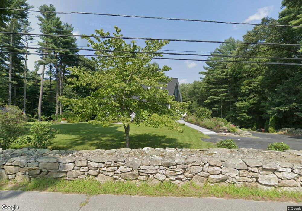
61 Torrey Rd Sutton, MA 01590
Estimated Value: $484,000 - $515,394
2
Beds
2
Baths
1,232
Sq Ft
$409/Sq Ft
Est. Value
About This Home
This home is located at 61 Torrey Rd, Sutton, MA 01590 and is currently estimated at $504,099, approximately $409 per square foot. 61 Torrey Rd is a home located in Worcester County with nearby schools including Sutton Elementary School, Sutton Middle School, and Sutton High School.
Create a Home Valuation Report for This Property
The Home Valuation Report is an in-depth analysis detailing your home's value as well as a comparison with similar homes in the area
Home Values in the Area
Average Home Value in this Area
Tax History
| Year | Tax Paid | Tax Assessment Tax Assessment Total Assessment is a certain percentage of the fair market value that is determined by local assessors to be the total taxable value of land and additions on the property. | Land | Improvement |
|---|---|---|---|---|
| 2025 | $5,503 | $457,800 | $207,800 | $250,000 |
| 2024 | $5,646 | $445,300 | $195,600 | $249,700 |
| 2023 | $5,352 | $386,400 | $179,600 | $206,800 |
| 2022 | $4,918 | $324,000 | $148,400 | $175,600 |
| 2021 | $5,016 | $313,500 | $148,400 | $165,100 |
| 2020 | $3,621 | $306,300 | $148,400 | $157,900 |
| 2019 | $4,766 | $288,500 | $148,400 | $140,100 |
| 2018 | $4,320 | $261,000 | $129,800 | $131,200 |
| 2017 | $3,409 | $251,600 | $116,900 | $134,700 |
| 2016 | $4,108 | $246,300 | $116,900 | $129,400 |
| 2015 | $3,988 | $239,100 | $116,900 | $122,200 |
| 2014 | $3,952 | $234,100 | $117,300 | $116,800 |
Source: Public Records
Map
Nearby Homes
- 19 Birch St
- 108 Mumford St
- 18 Lakeshore Dr
- 266 Putnam Hill Rd
- 26 Compass Point Dr Unit 26
- Lot 27 Cedar St
- 33 Nautical Way Unit 107
- 60 Webster St
- 24 Manchaug Rd
- 9 Church St
- 22 Gilboa St
- 3 S East Main St
- 5 B St
- 8 Hough Rd
- 109 Mendon Rd
- 265 Mendon Rd
- 408 NE Main St
- 2 White Ct
- 80 Barnett Rd
- 7 Tower Hill Rd
Your Personal Tour Guide
Ask me questions while you tour the home.