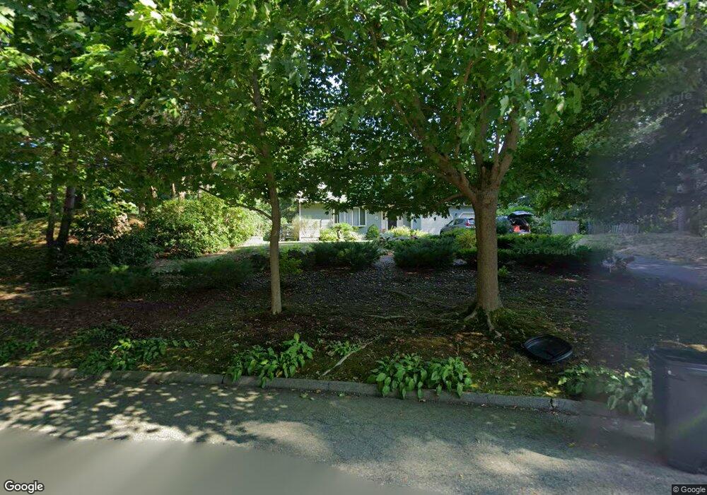
61 Travelers Ln Marshfield, MA 02050
Estimated Value: $836,000 - $926,000
4
Beds
3
Baths
2,156
Sq Ft
$408/Sq Ft
Est. Value
About This Home
This home is located at 61 Travelers Ln, Marshfield, MA 02050 and is currently estimated at $879,401, approximately $407 per square foot. 61 Travelers Ln is a home located in Plymouth County with nearby schools including Governor Edward Winslow School, Furnace Brook Middle School, and Marshfield High School.
Ownership History
Date
Name
Owned For
Owner Type
Purchase Details
Closed on
Aug 15, 2022
Sold by
Sombronsky Donald R and Sombronsky Paula R
Bought by
Sombronsky Ret and Sombronsky
Current Estimated Value
Purchase Details
Closed on
Sep 28, 1990
Sold by
Acorn Rt
Bought by
Sombronsky Donald R
Create a Home Valuation Report for This Property
The Home Valuation Report is an in-depth analysis detailing your home's value as well as a comparison with similar homes in the area
Home Values in the Area
Average Home Value in this Area
Purchase History
| Date | Buyer | Sale Price | Title Company |
|---|---|---|---|
| Sombronsky Ret | -- | None Available | |
| Sombronsky Donald R | $230,000 | -- |
Source: Public Records
Mortgage History
| Date | Status | Borrower | Loan Amount |
|---|---|---|---|
| Previous Owner | Sombronsky Donald R | $176,500 | |
| Previous Owner | Sombronsky Donald R | $140,000 | |
| Previous Owner | Sombronsky Donald R | $10,000 |
Source: Public Records
Tax History Compared to Growth
Tax History
| Year | Tax Paid | Tax Assessment Tax Assessment Total Assessment is a certain percentage of the fair market value that is determined by local assessors to be the total taxable value of land and additions on the property. | Land | Improvement |
|---|---|---|---|---|
| 2025 | $7,567 | $764,300 | $304,600 | $459,700 |
| 2024 | $7,392 | $711,500 | $290,100 | $421,400 |
| 2023 | $6,917 | $627,600 | $259,000 | $368,600 |
| 2022 | $6,917 | $534,100 | $217,600 | $316,500 |
| 2021 | $6,658 | $504,800 | $217,600 | $287,200 |
| 2020 | $6,356 | $476,800 | $196,900 | $279,900 |
| 2019 | $6,184 | $462,200 | $196,900 | $265,300 |
| 2018 | $6,114 | $457,300 | $196,900 | $260,400 |
| 2017 | $6,088 | $443,700 | $196,900 | $246,800 |
| 2016 | $5,952 | $428,800 | $196,900 | $231,900 |
| 2015 | $5,394 | $405,900 | $196,900 | $209,000 |
| 2014 | $5,370 | $404,100 | $196,900 | $207,200 |
Source: Public Records
Map
Nearby Homes
- 5 Adelaide Way
- 90 Presidential Cir
- 184 King Phillips Pathe
- 713 Webster St
- 431 Moraine St
- 33 Herring Weir Rd
- 32 Gratto Rd
- 30 Chandler Dr
- 5 Maple Ln Unit 5
- 15 Lady Slipper Ln
- 74 Abrams Hill Rd
- 9 S Pasture Ln
- 68 Abrams Hill Rd
- 106 Careswell St
- 92 Salt Meadow Waye
- 62 Teakettle Ln
- 311 S River St
- 10 Hawthorn Hill
- Two Railroad Ave Unit 9
- Two Railroad Ave Unit 1
- 69 Travelers Ln
- 55 Travelers Ln
- 182 Peterson Path
- 194 Peterson Path
- 66 Travelers Ln
- 204 Peterson Path
- 170 Peterson Path
- 48 Travelers Ln
- 77 Travelers Ln
- 49 Travelers Ln
- 76 Travelers Ln
- 158 Peterson Path
- 214 Peterson Path
- 146 Peterson Path
- 34 Travelers Ln
- 85 Travelers Ln
- 43 Travelers Ln
- 193 Peterson Path
- 84 Travelers Ln
- 185 Peterson Path